North Thames River
North Thames River
- Boat Ramps
- 1
- Access Points
- 0
- Campsites
- 0
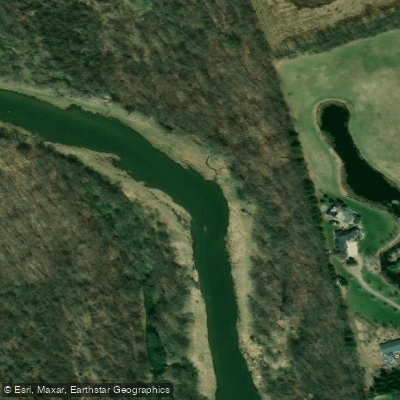
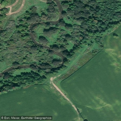
The North Thames River in Ontario, Canada is a 71 km paddling route running from St. Marys through London to the Forks of the Thames, where it joins the South Branch to form the Main Branch. The route drops 94 metres in elevation and is rated suitable for novice to intermediate paddlers, as there are no difficult rapids, though boulders require attention in low water conditions. The upper sections near the headwaters resemble a creek more than a river, widening considerably after passing through St. Marys. Between St. Marys and London, the river meanders through rolling farm fields and riverside forests, with high, steep banks on one side and more gradual slopes on the other. Passing through London, the route transitions through urban neighbourhoods and parkland before reaching Delaware.
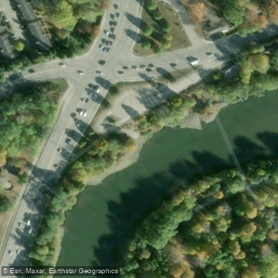
The primary access point for Section 1 is in St. Marys on the west side of the river, below Queen Street near the Park Street Bridge at Thomas Street. The river then flows into Fanshawe Reservoir, approximately six kilometres long, where other motorized boaters are present. Paddlers take out at the docks on the north side of the reservoir before Fanshawe Dam. Below the dam, the route continues through London to Springbank Park and onward to Delaware. The route can be completed as a series of day trips or as a two-day trip.
Flow variability is a significant planning consideration. Levels on the North Thames range from as low as two cubic metres per second in a dry August to over 700 cms during flood conditions. Flows of six to 20 cms upstream of the Forks are generally considered suitable for paddling. Section 1 from St. Marys may only be paddlable in early spring, while sections downstream of the Forks in London tend to offer more reliable flows. Paddlers should never go out during flood events or when boating bans or advisories are in effect. Real-time flow data is available through the Upper Thames River Conservation Authority at thamesriver.on.ca.
Fanshawe Conservation Area, located along the reservoir, offers seasonal and overnight camping and can be reached at 519-951-6181. Between May and September, paddlers can expect to encounter bald eagles, osprey, and a variety of other bird species along the river corridor. The Thames River system supports over 90 fish species. The river was originally named "Deshkan Ziibi" (Antler River) by Indigenous communities and was designated a Canadian Heritage River on August 14, 2000.
Water access, boat ramps & amenities
Learn how to get on North Thames River. Uncover great paddling access points, boat ramps, and all the facilities you need for an unforgettable day on the water. Some locations shown may border or include private property. Always check property boundaries and applicable regulations before visiting. PaddleWays's Public & Private Land layer can help you plan your access with confidence.
Paddle smarter with real-time insights
Whether you're en route and conditions shift or you're looking for the best spot based on current flows, we enable you to make informed decisions on the fly.








Find Places to Paddle

Over 400,000 Places to Paddle
Every user gets free access to launch points, boat ramps, and public property parcels.


Water and weather conditions (10 day forecast)
See the best times to paddle North Thames River and check the forecast before you go.
NORTH THAMES RIVER BELOW FANSHAWE DAM
All Flow Stations
Paddling near North Thames River
Explore On waters
Top paddling waters
No waters available right now.
Popular Cities
Loading popular cities...
Explore near North Thames River

Smarter Paddling Starts in the App.
Paddleways gives you everything you need to plan smarter, paddle better, and own every trip from first launch to takeout.