Conestogo River
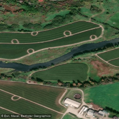
Conestogo River
- Boat Ramps
- 0
- Access Points
- 0
- Campsites
- 0
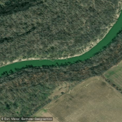
The Conestogo River is a major tributary of the Grand River in southwestern Ontario, draining an 82,000-hectare subwatershed that covers roughly 12 percent of the Grand River basin. The Grand River itself was designated a Canadian Heritage River in 1994, and the Conestogo is one of its principal contributors. The river flows through the heart of Old Order Mennonite farming country, passing agricultural land dotted with cattle and sheep, road bridges that serve as progress markers, and abandoned railway abutments that add historical texture to the landscape.
The most commonly paddled section runs 16 kilometres from Glen Allan downstream to Hawkesville, taking roughly three hours at moderate flows. After heavy rain, stronger current can reduce that to just over two hours. At around 11 cubic metres per second, the river moves quickly enough to provide an engaging ride. At moderate spring flows, the character is mostly quiet water with gentle current. At higher flows, swifts develop through the straighter sections and a few stretches approach Class I. There are no established campsites along this section, making it suited to a single day.
The put-in for the Glen Allan to Hawkesville section is at the park in Glen Allan, which has a parking lot directly beside the river and can accommodate a trailer. A Grand River Conservation Authority water flow monitoring station is located next to the bridge there. Glen Allan is approximately 22 kilometres northwest of Kitchener-Waterloo via local roads.
Another access point is at the St. Jacobs Bridge, from which paddlers can continue downstream to the Grand River and take out at Kaufman's Flats, a paddle of approximately four hours. That stretch includes a couple of swifter rapids and areas where wading may be necessary, particularly around Northfield Drive where the river widens and just before it joins the Grand River.
Paddlers on the Glen Allan to Hawkesville section should be aware of fences strung across the river by local farmers; at least one of these has a gate that can be navigated with some difficulty. Wildlife along the river includes great blue herons, mallards, hawks, and various waterfowl. There are no portages required on the Glen Allan to Hawkesville run.
Water access, boat ramps & amenities
Learn how to get on Conestogo River. Uncover great paddling access points, boat ramps, and all the facilities you need for an unforgettable day on the water. Some locations shown may border or include private property. Always check property boundaries and applicable regulations before visiting. PaddleWays's Public & Private Land layer can help you plan your access with confidence.
Paddle smarter with real-time insights
Whether you're en route and conditions shift or you're looking for the best spot based on current flows, we enable you to make informed decisions on the fly.








Find Places to Paddle

Over 400,000 Places to Paddle
Every user gets free access to launch points, boat ramps, and public property parcels.


Water and weather conditions (10 day forecast)
See the best times to paddle Conestogo River and check the forecast before you go.
CONESTOGO RIVER AT ST. JACOBS
All Flow Stations
Explore On waters
Top paddling waters
No waters available right now.
Popular Cities
Loading popular cities...
Explore near Conestogo River

Smarter Paddling Starts in the App.
Paddleways gives you everything you need to plan smarter, paddle better, and own every trip from first launch to takeout.