Grand River
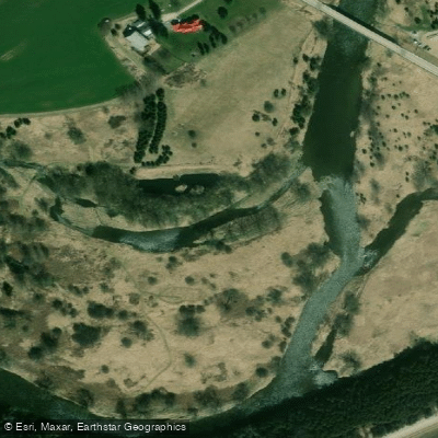
Grand River
- Boat Ramps
- 17
- Access Points
- 0
- Campsites
- 11
The Grand River flows approximately 300 kilometres from its northern source near Dundalk south to its mouth at Lake Erie in Port Maitland, passing through some of Ontario's most densely populated areas while remaining largely accessible and relatively undisturbed. Located roughly 100 kilometres southwest of Toronto and easily reached from Highways 401 and 403, the river passes through Elora, Kitchener-Waterloo, Cambridge, Paris, Brantford, and Cayuga before reaching the lake. It holds Canadian Heritage River designation and carries significant historical importance as a travel corridor for Indigenous peoples and early settlers, and as a power source for 19th-century mills.
The paddleable sections are managed in part by the Grand River Conservation Authority (GRCA), which maintains numerous access points along the river. Paddling between the source and Elora is generally not recommended due to low flows and frequent portages. From Elora Gorge Conservation Area southward, conditions improve considerably. The Waterloo Region stretch includes access points at Wilson Flats (Inverhaugh), Kaufman Flats, Kiwanis Park in Kitchener, Bridgeport, and several points through Cambridge. Further downstream, the Paris to Brant Park section is considered the calmest stretch and is well-suited to families and beginners. The Glen Morris section offers Class 1–2 swifts. In the lower river, the Dunnville Dam creates lake-like conditions; a portage around the dam and its three weirs is located at Byng Island Conservation Area, where a GRCA membership or entry fee is required to use the boat ramp.
The upper section near West Montrose, which passes under a historic covered bridge, is shallow and slow-moving and is generally only passable in early spring. Most sections of the river require a vehicle shuttle, as upstream paddling is not practical.
Wildlife along the river includes white-tailed deer, raccoon, beaver, coyote, great blue herons, cranes, ducks, red-tailed hawks, and bald eagles. The river corridor also passes through portions of Ontario's Carolinian forest. Outfitters based in Paris and Kitchener offer canoe and kayak rentals, shuttles, guided trips, and instruction. The GRCA's publication "Paddling the Grand River" by Jamie Kent provides detailed route information and is available in local bookstores and online. Major tributaries including the Nith, Speed, Conestogo, and Eramosa rivers are also paddleable, though less experienced paddlers are advised to use a guide on those routes.
Water access, boat ramps & amenities
Learn how to get on Grand River. Uncover great paddling access points, boat ramps, and all the facilities you need for an unforgettable day on the water. Some locations shown may border or include private property. Always check property boundaries and applicable regulations before visiting. PaddleWays's Public & Private Land layer can help you plan your access with confidence.
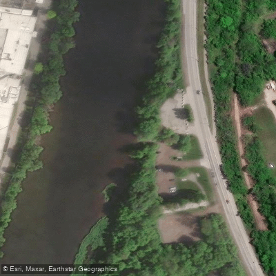
Cambridge Canoe Launch Site
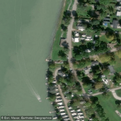
Cayuga Boat Ramp
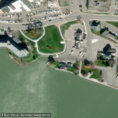
Dunnville Boat Club
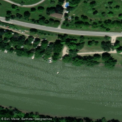
Grand River Boat launch Caledonia
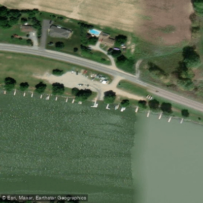
Grand River Boat launch Caledonia
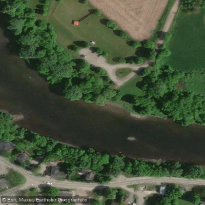
Moyer's Blair Landing
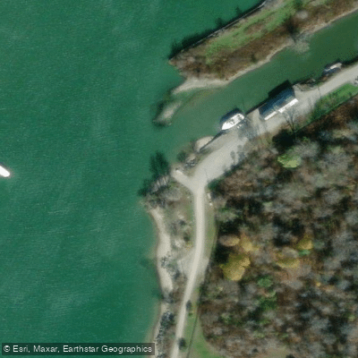
Ontario Boat Ramp
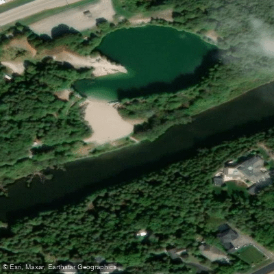
Ontario Boat Ramp
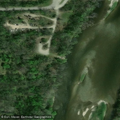
Ontario Boat Ramp
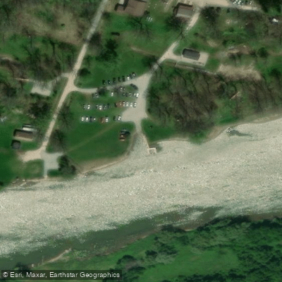
Ontario Boat Ramp
Paddle smarter with real-time insights
Whether you're en route and conditions shift or you're looking for the best spot based on current flows, we enable you to make informed decisions on the fly.








Find Places to Paddle

Over 400,000 Places to Paddle
Every user gets free access to launch points, boat ramps, and public property parcels.


Water and weather conditions (10 day forecast)
See the best times to paddle Grand River and check the forecast before you go.
GRAND RIVER AT GALT
All Flow Stations
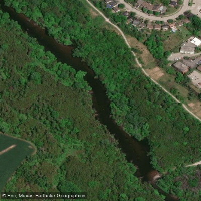
Explore On waters
Top paddling waters
No waters available right now.
Popular Cities
Loading popular cities...
Explore near Grand River
Access points
Nearby waters
More in On

Smarter Paddling Starts in the App.
Paddleways gives you everything you need to plan smarter, paddle better, and own every trip from first launch to takeout.