Nith River
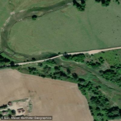
Nith River
- Boat Ramps
- 3
- Access Points
- 0
- Campsites
- 2
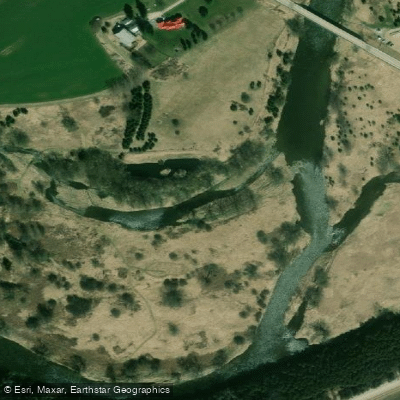
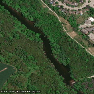
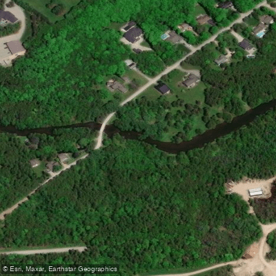
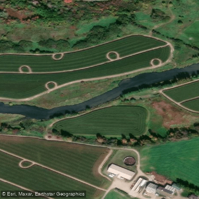
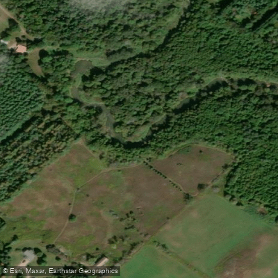
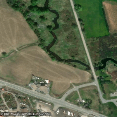
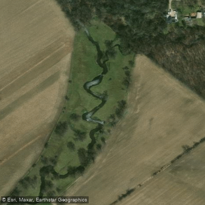
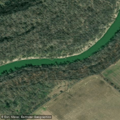
The Nith River flows through Oxford and Brant counties in southwestern Ontario, joining the Grand River at the town of Paris. It is a winding, predominantly rural river that passes through Carolinian forest, high clay banks, farmland, and stretches of cedar-lined swampy corridor. The river snakes considerably through the landscape, offering varied scenery around each bend. Most of the run feels uncrowded, with only occasional houses and seasonal camps visible from the water.
The Nith is primarily a shoulder-season river, runnable during spring runoff and on rainy days in fall when water levels rise. In summer, flows typically drop too low for paddling except briefly after significant rainfall. The minimum recommended flow is around 5 m³/s, monitored via the Grand River Conservation Authority (GRCA) gauge. At flows below that threshold, the river becomes unsuitable. The lower rocky section benefits from a plastic or similarly durable hull.
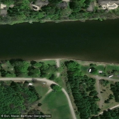
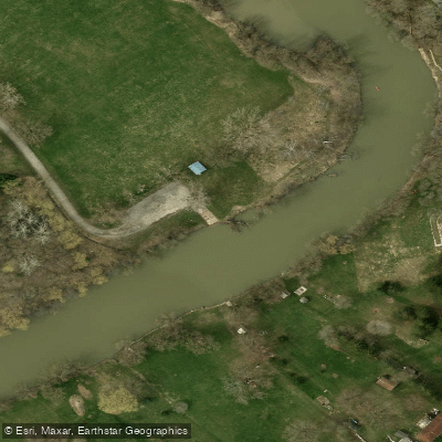
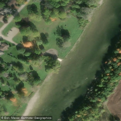
Access points are plentiful: virtually every road bridge crossing the Nith can serve as a put-in or take-out, allowing paddlers to tailor trip length freely. Common put-ins include the Greenfield Bridge south of Township Road 11, the Township Road 12 crossing near Plattsville, and the Township Road 2 bridge south of Canning. The standard take-out for the popular Canning-to-Paris run is Bean Park in Paris, approximately 2 km downstream on the Grand River from the Nith's confluence, with roadside parking available. In New Hamburg, William Scott Park offers a concrete boat launch with ample parking, and the Wilmot Street park provides an alternate access point, though it can be shallow and muddy at low water.
The lower section between Canning and Paris features Class 1–3 rapids, best experienced roughly two days after a good rainfall in early spring. The upper and middle sections are largely novice-to-intermediate, with swifts and Class I rapids. No portages are required on the main runs. Paddlers should exercise extreme caution near dams, particularly the New Hamburg Dam, and avoid the upstream side of culvert bridges due to confined spaces and constricted flow.
Wildlife along the river includes osprey, bald eagle, mallards, Canada geese, killdeer, muskrats, red-winged blackbirds, beaver, fox, wild turkey, and bass. The Carolinian forest zone supports species uncommon farther north. There are no official camping sites along the river. Guided trips and whitewater rafting on the lower section are available through local outfitter Grand Experiences, which has operated out of Paris since 1997.
Water access, boat ramps & amenities
Learn how to get on Nith River. Uncover great paddling access points, boat ramps, and all the facilities you need for an unforgettable day on the water. Some locations shown may border or include private property. Always check property boundaries and applicable regulations before visiting. PaddleWays's Public & Private Land layer can help you plan your access with confidence.
Paddle smarter with real-time insights
Whether you're en route and conditions shift or you're looking for the best spot based on current flows, we enable you to make informed decisions on the fly.








Find Places to Paddle

Over 400,000 Places to Paddle
Every user gets free access to launch points, boat ramps, and public property parcels.


Water and weather conditions (10 day forecast)
See the best times to paddle Nith River and check the forecast before you go.
NITH RIVER NEAR CANNING
All Flow Stations
Explore On waters
Top paddling waters
No waters available right now.
Popular Cities
Loading popular cities...
Explore near Nith River

Smarter Paddling Starts in the App.
Paddleways gives you everything you need to plan smarter, paddle better, and own every trip from first launch to takeout.