Cox Creek
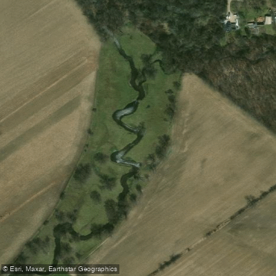
Cox Creek
- Boat Ramps
- 0
- Access Points
- 0
- Campsites
- 0
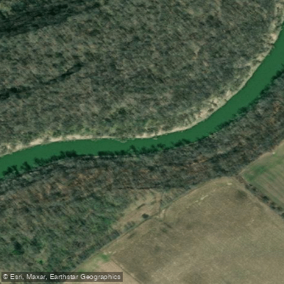
Cox Creek is a paddling waterway within Kawartha Highlands Provincial Park in Ontario, forming part of a canoe route that connects Loucks Lake to the broader network of lakes in the park. The creek is accessed via a short portage from Loucks Lake and serves as a link in multi-day loop routes through the park's backcountry.
Water levels on Cox Creek are highly seasonal and directly affect paddleability. Earlier in the paddling season, the creek typically carries enough water to travel freely, though paddlers should expect to navigate a couple of beaver dams along the way. By the civic holiday long weekend in late July or early August, water levels can drop to the point where paddling becomes impractical, with rocks presenting a hazard to boat hulls. Paddlers planning to include Cox Creek in a route should time their trip accordingly, with earlier-season visits — late spring to early summer — offering more reliable conditions.
The creek sits within the Kawartha Highlands, a park that was only designated as such in the early 2000s and is surrounded by cottage country. Boat traffic on nearby Long Lake can be a consideration on weekends during the summer season, though the creek itself is part of the backcountry travel network. The park is located approximately 30 minutes from Woodview, Ontario, making it accessible for paddlers based in the region.
Cox Creek is best understood as a connecting waterway within a larger loop route rather than a destination in itself. Paddlers incorporating it into a trip should be prepared for low-water portage alternatives if conditions require bypassing sections of the creek entirely.
Water access, boat ramps & amenities
Learn how to get on Cox Creek. Uncover great paddling access points, boat ramps, and all the facilities you need for an unforgettable day on the water. Some locations shown may border or include private property. Always check property boundaries and applicable regulations before visiting. PaddleWays's Public & Private Land layer can help you plan your access with confidence.
Paddle smarter with real-time insights
Whether you're en route and conditions shift or you're looking for the best spot based on current flows, we enable you to make informed decisions on the fly.








Find Places to Paddle

Over 400,000 Places to Paddle
Every user gets free access to launch points, boat ramps, and public property parcels.


Water and weather conditions (10 day forecast)
See the best times to paddle Cox Creek and check the forecast before you go.
No forecast data available.
Explore On waters
Top paddling waters
No waters available right now.
Popular Cities
Loading popular cities...
Explore near Cox Creek

Smarter Paddling Starts in the App.
Paddleways gives you everything you need to plan smarter, paddle better, and own every trip from first launch to takeout.