Bronte Creek
Bronte Creek
- Boat Ramps
- 1
- Access Points
- 0
- Campsites
- 3
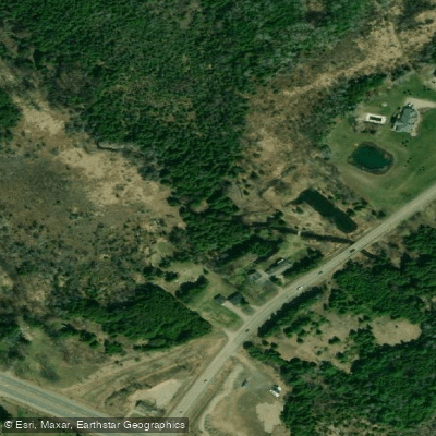
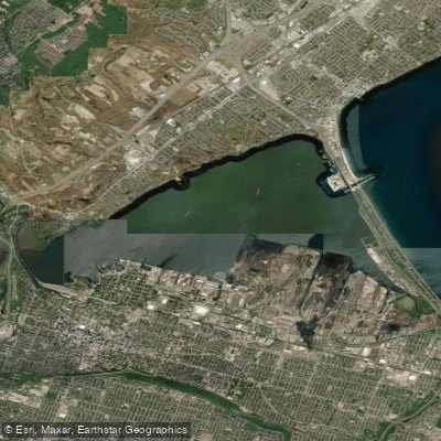
Bronte Creek, also historically known as Twelve Mile Creek, flows 48 km from its source near Morriston through Hamilton and Halton Region to Lake Ontario at Bronte Harbour in Oakville. The creek offers two distinct paddling experiences depending on where you put in.
The upper route is a spring-only run covering approximately 25 km from Lowville Park on Guelph Line in north Burlington to the Bronte waterfront. This section passes through one of the deepest and most dramatic gorges in southern Ontario — a 15 km red shale gorge that reaches over 150 feet deep in places. The standard put-in at Lowville Park offers paved parking, washrooms, and an easy carry to the creek. A shorter version of this trip can begin at the No. 4 Sideroad crossing, cutting roughly 8 km off the route. No. 2 Sideroad marks where the gorge begins, but parking there is extremely limited and not recommended. The most popular take-out on this route is Petro Canada Park (Valhalla Park) on the left bank off Bronte Road, identifiable by soccer fields visible through streamside vegetation. Continuing past Valhalla Park, the creek widens into a marshy estuary for the final 2 km before reaching Bronte Beach Park at Lake Ontario. Because this upper run depends on spring water levels, it is not suitable year-round.
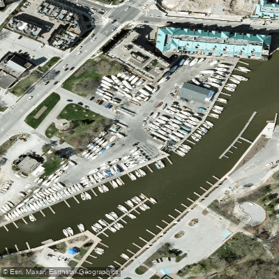
The lower tidal section near Bronte Harbour in Oakville is accessible year-round and suited to beginners. A boat ramp near the harbour provides easy vehicle access for launching. This stretch is a slow-moving, calm waterway with little to no boat traffic once past the yacht club. The round trip up and back covers approximately 4 km and can be completed in just over an hour.
The lower creek is bordered by trees, bullrush fields, and marshy inlets that attract herons, swans, ducks, beavers, and muskrats. Paddlers should be cautious around nesting swans in spring, as they can become aggressive when protecting young. Fishing is permitted north of the Rebecca Street bridge and at Petro Canada Park during designated seasons, with Rainbow Trout, Steelhead, and Pacific Salmon present at certain times of year. A sandy beach near the harbour is available at the end of a paddle.
Water access, boat ramps & amenities
Learn how to get on Bronte Creek. Uncover great paddling access points, boat ramps, and all the facilities you need for an unforgettable day on the water. Some locations shown may border or include private property. Always check property boundaries and applicable regulations before visiting. PaddleWays's Public & Private Land layer can help you plan your access with confidence.
Paddle smarter with real-time insights
Whether you're en route and conditions shift or you're looking for the best spot based on current flows, we enable you to make informed decisions on the fly.








Find Places to Paddle

Over 400,000 Places to Paddle
Every user gets free access to launch points, boat ramps, and public property parcels.


Water and weather conditions (10 day forecast)
See the best times to paddle Bronte Creek and check the forecast before you go.
BRONTE CREEK NEAR ZIMMERMAN
All Flow Stations
Paddling near Bronte Creek
Explore On waters
Top paddling waters
No waters available right now.
Popular Cities
Loading popular cities...
Explore near Bronte Creek
Access points
Nearby waters
More in On

Smarter Paddling Starts in the App.
Paddleways gives you everything you need to plan smarter, paddle better, and own every trip from first launch to takeout.