Irvine Creek
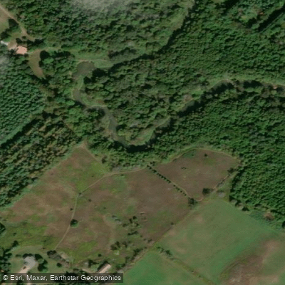
Irvine Creek
- Boat Ramps
- 0
- Access Points
- 0
- Campsites
- 1
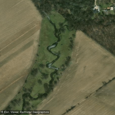
Irvine Creek is a tributary of the Grand River located in the municipality of Centre Wellington, Wellington County in southwestern Ontario. It originates in West Garafraxa township at an elevation of approximately 453 metres and flows to its mouth at Elora, where it joins the Grand River as a right tributary. The creek sits within the Great Lakes Basin.
The paddling character of Irvine Creek is defined by its flow-dependent nature — it is only runnable when water levels are sufficiently high, typically following significant rainfall. Paddlers familiar with the creek are known to monitor conditions carefully and avoid discussing prospects openly for fear of jinxing the levels. When in, the creek offers several notable rapids along its course, along with one large drop at a mill site. At certain runnable levels the experience can be comparable to the lower Credit River in terms of technical scrappiness, but the presence of significantly larger rapids distinguishes Irvine Creek and gives it a more demanding character overall.
The route is classified as an intermediate-level trip and can be completed in a single day with no portages required, covering a relatively short distance. There are two put-in options available, and the take-out is located at a conservation area. Paddlers are advised to be respectful of property owners and conservation area staff at the take-out point.
The creek is situated in a region of southwestern Ontario that also offers nearby hiking opportunities, including the Crawford Lake Trail (3.2 km, 40 m elevation gain) and the Hilton Falls Trail (6 km, 50 m elevation gain), which may be of interest to paddlers looking to combine activities during a visit to the area.
Water access, boat ramps & amenities
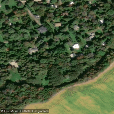
Learn how to get on Irvine Creek. Uncover great paddling access points, boat ramps, and all the facilities you need for an unforgettable day on the water. Some locations shown may border or include private property. Always check property boundaries and applicable regulations before visiting. PaddleWays's Public & Private Land layer can help you plan your access with confidence.
Paddle smarter with real-time insights
Whether you're en route and conditions shift or you're looking for the best spot based on current flows, we enable you to make informed decisions on the fly.








Find Places to Paddle

Over 400,000 Places to Paddle
Every user gets free access to launch points, boat ramps, and public property parcels.


Water and weather conditions (10 day forecast)
See the best times to paddle Irvine Creek and check the forecast before you go.
IRVINE RIVER NEAR SALEM
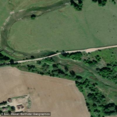
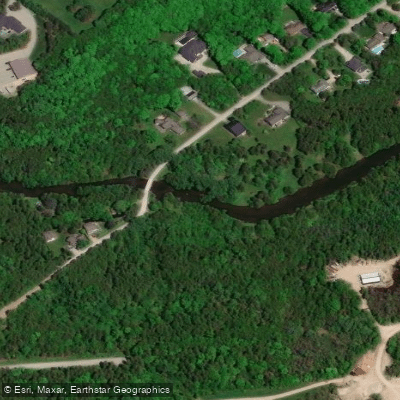
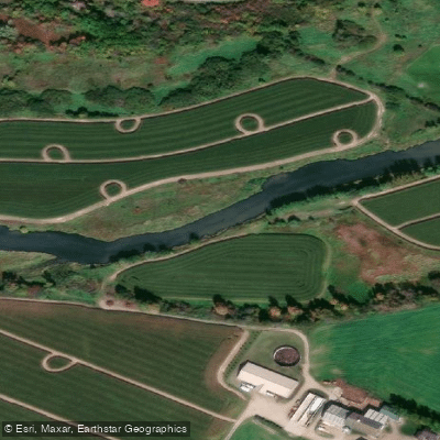
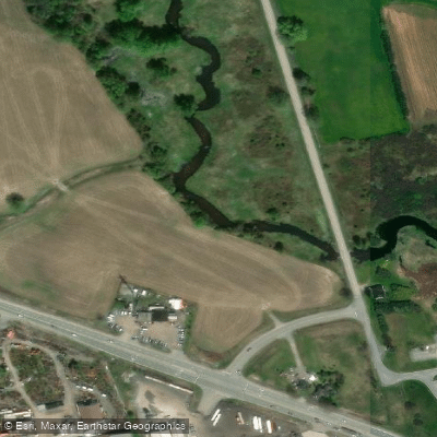
Explore On waters
Top paddling waters
No waters available right now.
Popular Cities
Loading popular cities...
Explore near Irvine Creek

Smarter Paddling Starts in the App.
Paddleways gives you everything you need to plan smarter, paddle better, and own every trip from first launch to takeout.