Credit River
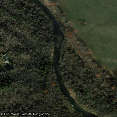
Credit River
- Boat Ramps
- 5
- Access Points
- 0
- Campsites
- 1
The Credit River flows roughly 90 kilometres from its headwaters near Orangeville south to Lake Ontario at Port Credit in Mississauga, passing through a range of landscapes from rural farmland and conservation areas to the urban fringes of the Greater Toronto Area. The river offers several distinct paddling characters depending on which section is chosen, from flatwater floats to technical whitewater.
The upper river, beginning at Island Lake Conservation Area in Orangeville, is suitable for non-motorized watercraft, though it can be exposed to high winds. From Orangeville downstream through Alton, Inglewood, and Terra Cotta, the gradient increases and the river winds considerably. The Belfountain section presents challenging routes for intermediate to advanced kayakers after significant rainfall, with wood and ice hazards requiring scouting. The Cataract section features a notable rapid below an unrunnable drop at Cataract Falls, with a portage required around the falls themselves.
The middle section from Inglewood to Cheltenham runs steadily with winding current and wood hazards. A concrete crevasse near the dam at Boston Mills is a documented hazard and has capsized canoes; the area above the dam on river right is also considered dangerous. Paddlers must take out at Willow Park (Ecology Centre) at the Silver Creek confluence before the Norval Dam.
The most popular whitewater run is the Streetsville to Erindale Park section in Mississauga, a spring-dependent Class I–II run with near-continuous rapids. The gauge window for this section is roughly 4.6 to 5.2; below 4.6 is a scrape and above 5.2 the features wash out. This run is best during spring runoff or following significant rain. The Churchville Park South to Streetsville Memorial Park section flows under the 407 and 401 highways and offers small rapids that can largely be avoided.
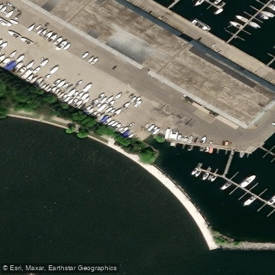
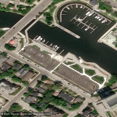
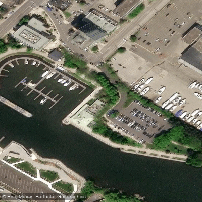
Near the river's mouth, a canoe and kayak ramp sits directly under the Rebecca/Randall Street Bridge in Port Credit, from which paddlers can travel downstream past the harbour to Lake Ontario and back upstream toward Speers Road, a route of approximately six kilometres. Public access points and general stores are found near the river in communities including Orangeville, Alton, Inglewood, Terra Cotta, Glen Williams, Norval, Huttonville, Meadowvale, Streetsville, and Port Credit. Topographic maps covering the river are available through government map outlets, though even detailed maps do not show rapids, old dams, or log jams.
Water access, boat ramps & amenities
Learn how to get on Credit River. Uncover great paddling access points, boat ramps, and all the facilities you need for an unforgettable day on the water. Some locations shown may border or include private property. Always check property boundaries and applicable regulations before visiting. PaddleWays's Public & Private Land layer can help you plan your access with confidence.
Paddle smarter with real-time insights
Whether you're en route and conditions shift or you're looking for the best spot based on current flows, we enable you to make informed decisions on the fly.








Find Places to Paddle

Over 400,000 Places to Paddle
Every user gets free access to launch points, boat ramps, and public property parcels.


Water and weather conditions (10 day forecast)
See the best times to paddle Credit River and check the forecast before you go.
CREDIT RIVER NEAR CATARACT
All Flow Stations
Paddling near Credit River
Explore On waters
Top paddling waters
No waters available right now.
Popular Cities
Loading popular cities...
Explore near Credit River
Access points
Nearby waters
More in On

Smarter Paddling Starts in the App.
Paddleways gives you everything you need to plan smarter, paddle better, and own every trip from first launch to takeout.