Sixteen Mile Creek
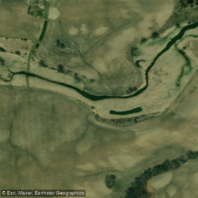
Sixteen Mile Creek
- Boat Ramps
- 6
- Access Points
- 0
- Campsites
- 0
Sixteen Mile Creek is a river in Halton Region within the Greater Toronto Area, flowing from the Niagara Escarpment through the towns of Milton and Oakville before emptying into Lake Ontario. The creek takes its name from the distance between its mouth and the western end of Lake Ontario, and was historically known to the Mississauga as Ne-sauga y-onk, meaning "having two outlets," and to the French as Rivière de Gravois, or "gravelly river."
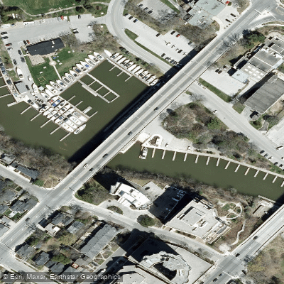
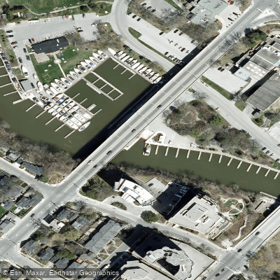
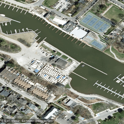
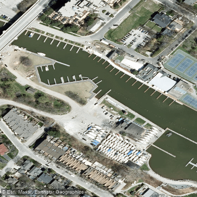
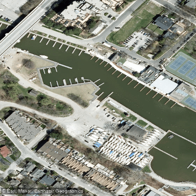
The lower section of the creek, near Oakville, is the primary paddling destination. A free public launch is accessible in the heart of downtown Oakville, making it a convenient put-in for an out-and-back trip. Pay parking is also available near the dock, though the walk from the parking area to the water can be a bit of a hike. The creek flows south to Oakville Harbour, where channel markers indicate the entrance to Lake Ontario. Paddling onto Lake Ontario itself is not recommended unless you are an experienced paddler with appropriate equipment.
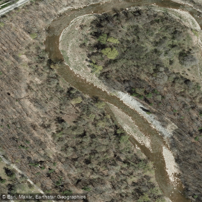
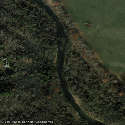
The character of the lower creek divides naturally into two sections: a broader, more open stretch near the highway that resembles a small lake, and a narrower, calmer creek section that winds through a landscape rich in wildlife. The narrower portion is particularly noted for its natural character. Wildlife commonly observed includes Great Blue Herons, Great Egrets, Mute Swans, Belted Kingfishers, Double-crested Cormorants, and Canada Geese. The creek is relatively shallow throughout much of its length.
Water levels are a practical consideration for paddling further upstream. The upper reaches of the creek tend to run low except in early spring or following significant rainfall, which limits canoeing opportunities and makes kayaking more feasible during those periods. The lower Oakville section near the harbour is more reliably navigable.
Fishing is permitted on Sixteen Mile Creek, including from the bank, provided it is not from a bridge or roadway and is at least 50 metres upstream of the last upstream dock in Oakville Harbour. Fishing is permitted from October 15 to May 15 unless otherwise posted. Paddlers should be aware of fishing activity, particularly during those months.
Water access, boat ramps & amenities
Learn how to get on Sixteen Mile Creek. Uncover great paddling access points, boat ramps, and all the facilities you need for an unforgettable day on the water. Some locations shown may border or include private property. Always check property boundaries and applicable regulations before visiting. PaddleWays's Public & Private Land layer can help you plan your access with confidence.
Paddle smarter with real-time insights
Whether you're en route and conditions shift or you're looking for the best spot based on current flows, we enable you to make informed decisions on the fly.








Find Places to Paddle

Over 400,000 Places to Paddle
Every user gets free access to launch points, boat ramps, and public property parcels.


Water and weather conditions (10 day forecast)
See the best times to paddle Sixteen Mile Creek and check the forecast before you go.
SIXTEEN MILE CREEK AT MILTON
Paddling near Sixteen Mile Creek
Explore On waters
Top paddling waters
No waters available right now.
Popular Cities
Loading popular cities...
Explore near Sixteen Mile Creek
Access points
Nearby waters
More in On

Smarter Paddling Starts in the App.
Paddleways gives you everything you need to plan smarter, paddle better, and own every trip from first launch to takeout.