Nottawasaga River
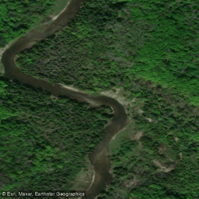
Nottawasaga River
- Boat Ramps
- 3
- Access Points
- 0
- Campsites
- 5
The Nottawasaga River in Ontario runs 121 km from its source in the Oak Ridges Moraine and Niagara Escarpment, dropping 300 metres before emptying into Georgian Bay at Wasaga Beach. The river drains nearly 3,000 km² of land within the Nottawasaga Valley watershed. The main paddling corridor is typically described as a two- to three-day journey at a comfortable pace, though it divides naturally into three day-trip sections.
The standard canoe route begins near the Hamlet of Nicolston on Highway 89 and runs approximately 75 km downstream to Schooner Town Parkette in Wasaga Beach. Additional access points include the Essa canoe and kayak launch beside Angus Community Park at 6 Huron St in Angus (no fee), Edenvale Conservation Area, and Klondike Park Road in the Wasaga Sports Park, where a dock installed by the Canoe Club of Wasaga Beach provides river access. The take-out at Schooner Town Parkette is not marked from the water. A parking fee of $6.50 per vehicle applies at conservation areas managed by the Nottawasaga Valley Conservation Authority (NVCA).
The river passes through the internationally significant Minesing Wetlands, a 15,000-acre complex of swamp, fen, and marsh. Navigation through the wetlands requires attention, particularly in spring when high water levels can obscure the river channel and create open-water areas where channels normally run. Significant logjams exist between Angus and Edenvale Conservation Area, and other logjams occur elsewhere along the route, requiring portaging or lining. The upper section from Hockley to Nicolston is narrow, constantly meandering, and prone to sweepers and strainers; paddlers on that stretch should expect lift-overs rather than formal portages.
The section from the Essa Canoe Access downstream to Essa Centennial Park may require portaging and lining during low water levels in summer. Paddlers are encouraged to check with the NVCA about water levels and the best starting point before heading out during summer months. The river is generally passable from spring through fall.
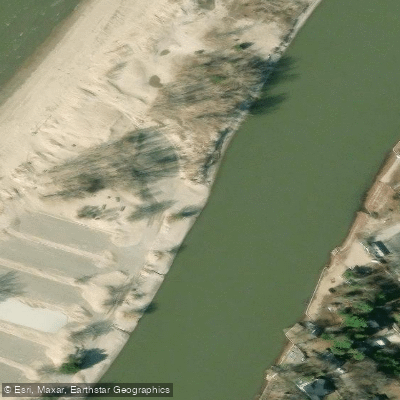
Wildlife along the route includes bald eagles, trumpeter swans, osprey, beavers, turtles, great blue herons, and egrets. Near Wasaga Beach, the lower river passes spectacular sand dune formations. The NVCA classifies the Minesing Wetlands as an isolated, remote area and notes that paddlers are rescued there each year; consulting NVCA safety guidelines before entering the wetlands is strongly advised.
Water access, boat ramps & amenities
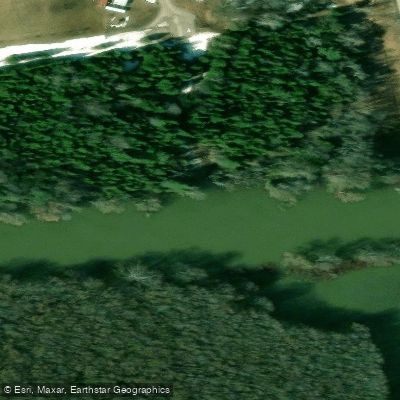
Learn how to get on Nottawasaga River. Uncover great paddling access points, boat ramps, and all the facilities you need for an unforgettable day on the water. Some locations shown may border or include private property. Always check property boundaries and applicable regulations before visiting. PaddleWays's Public & Private Land layer can help you plan your access with confidence.
Paddle smarter with real-time insights
Whether you're en route and conditions shift or you're looking for the best spot based on current flows, we enable you to make informed decisions on the fly.








Find Places to Paddle

Over 400,000 Places to Paddle
Every user gets free access to launch points, boat ramps, and public property parcels.


Water and weather conditions (10 day forecast)
See the best times to paddle Nottawasaga River and check the forecast before you go.
NOTTAWASAGA RIVER NEAR BAXTER
All Flow Stations
Paddling near Nottawasaga River
Explore On waters
Top paddling waters
No waters available right now.
Popular Cities
Loading popular cities...
Explore near Nottawasaga River
Access points
Nearby waters
More in On

Smarter Paddling Starts in the App.
Paddleways gives you everything you need to plan smarter, paddle better, and own every trip from first launch to takeout.