Fourteen Mile Creek
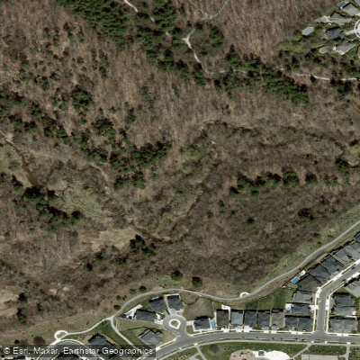
Fourteen Mile Creek
- Boat Ramps
- 0
- Access Points
- 0
- Campsites
- 0
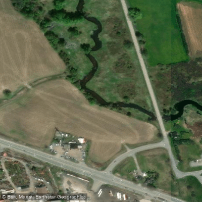
Fourteen Mile Creek is a small urban stream in Oakville, Ontario, within the Regional Municipality of Halton and the Conservation Halton watershed. It originates from headwaters on the Trafalgar Moraine north of Highway 407, approximately 1 km south of the highway and 750 m southwest of Bronte Road. The creek flows generally southeastward across the South Slope of the Niagara Escarpment, passing through the Glen Abbey community and receiving tributaries including McCraney Creek, before discharging into Lake Ontario near the Bronte Road area. The creek was named in 1796 as the fourteenth creek from the Niagara River along Lake Ontario's north shore.
The creek is characterized by a valley with steep walls and groundwater seepage. Upper reaches are ephemeral in places, with permanent pools sustained year-round by springs in the streambed. The creek relies heavily on groundwater discharge for baseflow and also functions as a stormwater conduit in an increasingly urbanized environment. The landscape it passes through is a mix of rural and urban land use.
Canoeing holds potential in less urbanized stretches, though access is significantly limited by concrete channels and barriers in developed sections. The creek is described as suitable for intermediate skill levels in accessible areas. Paddlers should be aware that much of the corridor passes through urban development, which affects both the character of the experience and the practicality of navigation.
The creek supports notable ecological features. It is a cool to cold water system and is home to the provincially endangered redside dace, a small minnow that inhabits riffle areas. Sixty-three bird species have been recorded along the creek, including woodland and riparian varieties. The valley ravines provide habitat for nature observation.
Paddlers and visitors are required to adhere to Ontario fishing regulations, particularly given the presence of sensitive and protected species such as the redside dace. All activities in the area are subject to applicable local and provincial regulations. Given the creek's modest size, urban setting, and physical barriers in developed sections, trip planning should account for limited continuous paddling routes and restricted access points.
Water access, boat ramps & amenities
Learn how to get on Fourteen Mile Creek. Uncover great paddling access points, boat ramps, and all the facilities you need for an unforgettable day on the water. Some locations shown may border or include private property. Always check property boundaries and applicable regulations before visiting. PaddleWays's Public & Private Land layer can help you plan your access with confidence.
Paddle smarter with real-time insights
Whether you're en route and conditions shift or you're looking for the best spot based on current flows, we enable you to make informed decisions on the fly.








Find Places to Paddle

Over 400,000 Places to Paddle
Every user gets free access to launch points, boat ramps, and public property parcels.


Water and weather conditions (10 day forecast)
See the best times to paddle Fourteen Mile Creek and check the forecast before you go.
FOURTEEN MILE CREEK AT OAKVILLE
Paddling near Fourteen Mile Creek
Explore On waters
Top paddling waters
No waters available right now.
Popular Cities
Loading popular cities...
Explore near Fourteen Mile Creek

Smarter Paddling Starts in the App.
Paddleways gives you everything you need to plan smarter, paddle better, and own every trip from first launch to takeout.