Paddling in Nahanni National Park
- National Park
- Lakes
- 37
- Rivers
- 50
- Access
- 0
- Boat Ramps
- 0
- Shops
- 0
The South Nahanni is the reason most paddlers come here. It runs roughly 560 km from its headwaters in the Mackenzie Mountains to the Liard River, dropping over 4,000 vertical feet through tundra, boreal forest, and deep canyon country.
The full length takes about three weeks; most parties fly in to shorten the trip.
The Nahanni National Park Reserve holds the river from approximately RK 120 to RK 520 — the stretch that contains Virginia Falls and the canyon sections — while the upper river falls under the adjacent Nááts'įhch'oh National Park Reserve.
Whitewater runs to Class III in the lower sections, with June flows running high and sometimes dangerous before tapering through July and August.
The Little Nahanni River, accessible from Tungsten, gives experienced whitewater canoeists a roughly 90 km run of Class II to Class IV water.
The Flat River is another tributary within the reserve, with a gauge near its mouth that paddlers use to read conditions. These are serious wilderness routes, not day trips — the distances and remoteness demand full expedition logistics.
Access to the park typically means a floatplane. Fort Simpson is the main staging point for most trips; parties drive or fly to Fort Simpson, then charter a bush plane to a put-in.
The whole operation requires advance planning and a satellite communicator — the park's Duty Officer is reachable 24 hours a day and may contact you about fires, wildlife, or closures while you're on the water. The park runs on permits.
All overnight and multi-day visitors must comply with the Superintendent's Orders, which govern permit requirements, restrictions, and prohibitions. You register when entering and deregister when departing; Parks Canada tracks parties on the river.
Check directly with the park for current permit requirements, as the Nahanni National Park Reserve is the entity that issues them and runs the mandatory pre-trip briefings.
Canoe is the traditional and most practical choice for most of the river — faster than a packraft over long flatwater sections, easier to load for multi-week expeditions. But the Nahanni is not a river that forgives underestimation.
The scale alone — days of moving water between any two points — means that what looks like a straightforward Class II stretch on a map is still a long way from help.
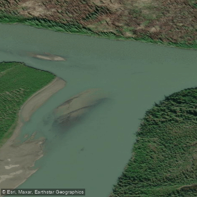
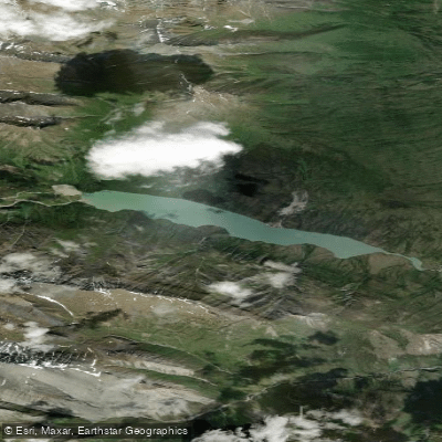
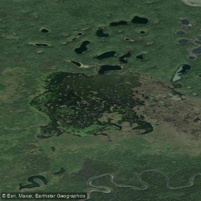
Top waters to paddle near Nahanni National Park
Water and weather conditions (10 day forecast)
See the best times to paddle Nahanni National Park and check the forecast before you go.
No forecast data available.
Paddle smarter with real-time insights
Whether you're en route and conditions shift or you're looking for the best spot based on current flows, we enable you to make informed decisions on the fly.







Paddling near Nahanni National Park
Loading...
Gateway towns
Where to base yourself for paddling in Nahanni National Park.
- Fort SimpsonNT
Home to the Parks Canada park office, outfitters, lodging, and the main floatplane charter hub for most visitors.
- Watson LakeYT
A regional floatplane charter departure point for accessing the park from the Yukon side.
- Nahanni ButteNT
Small Dene community near the park's southern boundary where many river trips end.
- YellowknifeNT
Territorial capital offering floatplane charters and a common staging point for visitors flying into the region.
Explore Nahanni National Park
Top paddling waters
Popular Cities
Loading popular cities...

Smarter Paddling Starts in the App.
Paddleways gives you everything you need to plan smarter, paddle better, and own every trip from first launch to takeout.