Fleuve Saint-Laurent
Fleuve Saint-Laurent
- Boat Ramps
- 1
- Access Points
- 0
- Campsites
- 0
The St. Lawrence River (Fleuve Saint-Laurent) is one of the world's major river systems, flowing through the heart of Quebec and transitioning from a freshwater stretch near Quebec City into a broad estuary before opening into the Gulf of St. Lawrence. This progression gives paddlers access to dramatically different environments along its length, from urban shorelines near Quebec City to remote coastal wilderness further downstream.
Sea kayaking is the predominant paddling discipline on the St. Lawrence, and conditions demand respect. Tides, strong currents, and fog that can roll in unexpectedly are the primary hazards, and paddlers unfamiliar with the river are strongly advised to go with a guide. The combination of tidal influence and the river's considerable width makes route planning and timing critical.
Several areas stand out for paddling. Near Quebec City, sea kayakers can access the river for excursions offering views of Montmorency Falls and Île d'Orléans, with Baie de Beauport serving as a more sheltered launch point. Further downstream, Bic National Park in the Bas-Saint-Laurent region is a well-regarded destination, offering coastal paddling along a stunning shoreline with opportunities to observe marine mammals and lighthouses. In the Tadoussac and Bergeronnes area near the confluence with the Saguenay River, paddlers enter the Saguenay-St. Lawrence Marine Park, where fin, blue, minke, and humpback whales, along with two species of seals, are regularly encountered in nearshore waters.
The river carries significant historical and cultural weight, having served as the primary corridor for European exploration and settlement of the continent. A designated St. Lawrence Water Trail (Sentier maritime du Saint-Laurent) provides a framework for multi-day paddling along the river's shores. Outfitters and guide services operate at multiple points along both the north and south shores, offering rentals, guided excursions, and local knowledge essential for navigating these dynamic waters safely.
Water access, boat ramps & amenities
Learn how to get on Fleuve Saint-Laurent. Uncover great paddling access points, boat ramps, and all the facilities you need for an unforgettable day on the water. Some locations shown may border or include private property. Always check property boundaries and applicable regulations before visiting. PaddleWays's Public & Private Land layer can help you plan your access with confidence.
Paddle smarter with real-time insights
Whether you're en route and conditions shift or you're looking for the best spot based on current flows, we enable you to make informed decisions on the fly.







Qc licenses and regulations
No licenses or regulations available for Qc.
Find Places to Paddle

Over 400,000 Places to Paddle
Every user gets free access to launch points, boat ramps, and public property parcels.


Water and weather conditions (10 day forecast)
See the best times to paddle Fleuve Saint-Laurent and check the forecast before you go.
ST. LAWRENCE RIVER AT IROQUOIS ISLAND (ABOVE)
All Flow Stations
Paddling near Fleuve Saint-Laurent
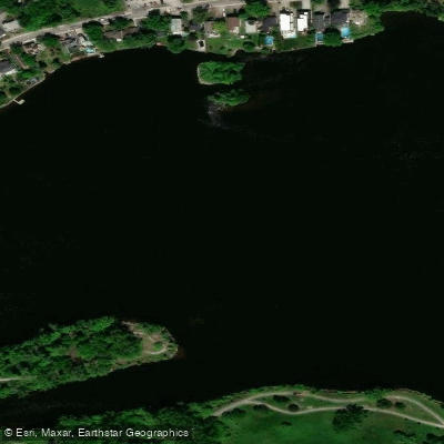
Rivière des Prairies
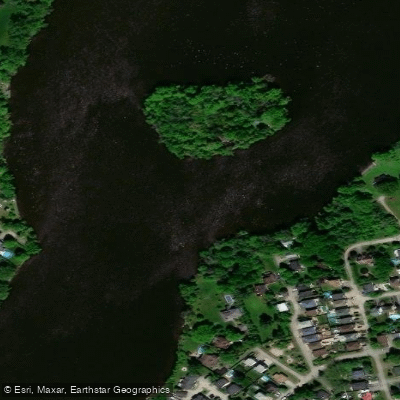
Rivière des Mille Îles
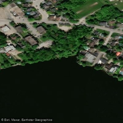
Plage Lajeunesse

Ottawa River
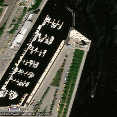
Plage de l'Horloge
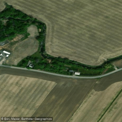
Rivière de la Tortue
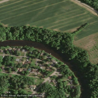
Rivière L'Assomption
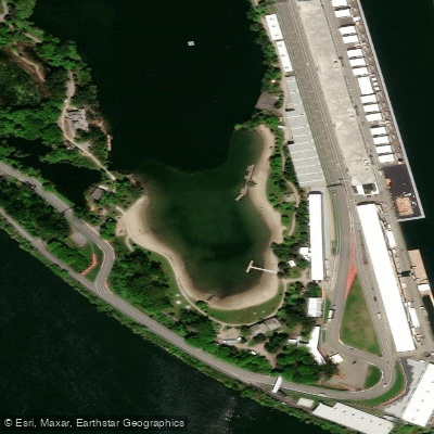
Plage Jean-Doré
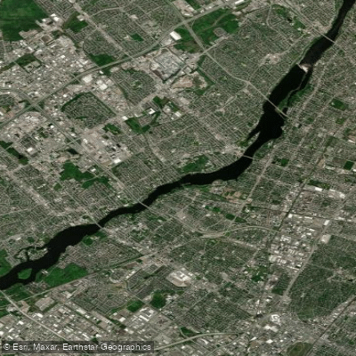
Rivière des Prairies
Explore Qc waters
Top paddling waters
No waters available right now.
Popular Cities
Loading popular cities...
Explore near Fleuve Saint-Laurent

Smarter Paddling Starts in the App.
Paddleways gives you everything you need to plan smarter, paddle better, and own every trip from first launch to takeout.