Rivière des Prairies
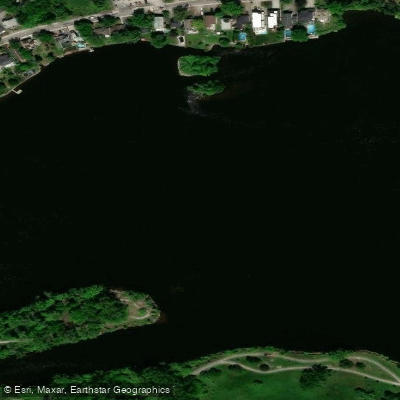
Rivière des Prairies
- Boat Ramps
- 0
- Access Points
- 0
- Campsites
- 0
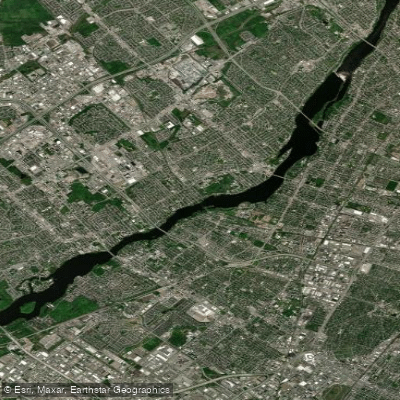
The Rivière des Prairies flows for approximately 40 kilometres between the islands of Montreal and Laval, originating at the Lake of Two Mountains. With an average flow of 1,365 m³/s and a total elevation drop of just 14.6 metres, it is one of the most urban rivers in Quebec, running through a densely populated metropolitan area while still maintaining stretches of natural shoreline.
The river's consistent current and occasional swifts make it best suited to downstream travel rather than out-and-back trips. The Gouin Route is the primary paddling corridor, with two established launch sites: Parc Beauséjour (6891 Blvd Gouin Ouest, Montreal) and the Sophie-Barat Nautical Site. A one-way downstream trip between these two points is the recommended route, and a shuttle service is available to facilitate the journey. Paddlers who prefer a self-supported return can take advantage of an adjacent bicycle path, with a bike transport option offered through the GUEPE organization as part of their rental packages.
GUEPE operates out of Parc Beauséjour and offers single kayak rentals as well as one-hour training sessions for those new to the river. The Île-de-la-Visitation Nature Park and Pointe-aux-Prairies Nature Park also provide access points to the river, the latter located roughly 30 minutes from central Montreal.
Along the banks, paddlers pass waterfront homes and riverside parks, with efforts made to preserve natural spaces despite the urban surroundings. The Fondation Rivières notes that while no designated public swimming areas exist on the river, water quality in dry weather is considered satisfactory at roughly a dozen locations according to historical monitoring data. During rain events, sewage overflows can affect water quality, so paddlers should be aware of conditions following precipitation. Bank erosion has also been identified as an ongoing concern along portions of the river.
No specific restrictions on paddling have been identified for this waterway. The river is accessible year-round, with at least some paddlers venturing out in winter conditions, though summer remains the primary season for organized rentals and guided experiences.
Water access, boat ramps & amenities
Learn how to get on Rivière des Prairies. Uncover great paddling access points, boat ramps, and all the facilities you need for an unforgettable day on the water. Some locations shown may border or include private property. Always check property boundaries and applicable regulations before visiting. PaddleWays's Public & Private Land layer can help you plan your access with confidence.
Paddle smarter with real-time insights
Whether you're en route and conditions shift or you're looking for the best spot based on current flows, we enable you to make informed decisions on the fly.







Qc licenses and regulations
No licenses or regulations available for Qc.
Find Places to Paddle

Over 400,000 Places to Paddle
Every user gets free access to launch points, boat ramps, and public property parcels.


Water and weather conditions (10 day forecast)
See the best times to paddle Rivière des Prairies and check the forecast before you go.
PRAIRIES (RIVIERE DES) AU RAPIDE DU CHEVAL BLANC
Paddling near Rivière des Prairies
Rivière des Mille Îles
Plage Lajeunesse
Fleuve Saint-Laurent

Ottawa River
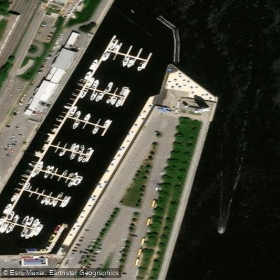
Plage de l'Horloge
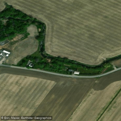
Rivière de la Tortue
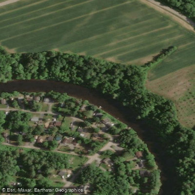
Rivière L'Assomption
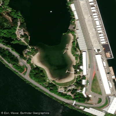
Plage Jean-Doré
Rivière des Prairies
Explore Qc waters
Top paddling waters
No waters available right now.
Popular Cities
Loading popular cities...
Explore near Rivière des Prairies

Smarter Paddling Starts in the App.
Paddleways gives you everything you need to plan smarter, paddle better, and own every trip from first launch to takeout.