Rivière de la Tortue
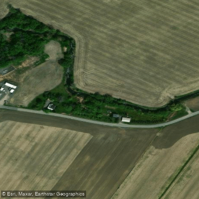
Rivière de la Tortue
- Boat Ramps
- 0
- Access Points
- 0
- Campsites
- 0
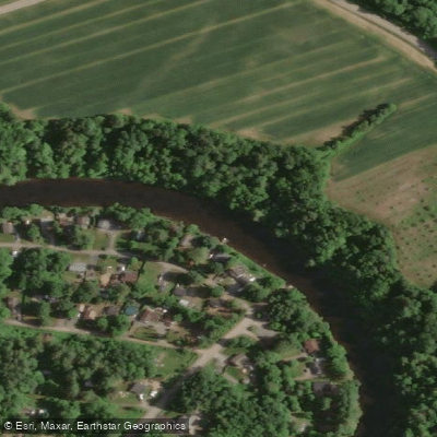
The Rivière de la Tortue is a small river located in the Montreal suburbs, flowing through the municipalities of Candiac and Delson in Quebec. The river passes through a mix of forested sections and urban areas, eventually reaching the bay of the St. Lawrence River at its downstream end, where paddlers can explore the beginning of the bay before returning upstream.
One access point is located at Parc Mermoz in Delson, where a dock provides relatively easy entry to the water. Paddlers should be aware that a sign at this location restricts access to human-powered watercraft only, though the sign has been noted as not particularly visible. The river is well-suited to kayaks, canoes, and stand-up paddleboards. Additional launch sites with car and bicycle parking are available along the Sentier de la Rivière-de-la-Tortue, a linear trail that runs approximately 1.5 kilometres along the riverbanks west of Candiac.
The river is characterized as calm and quiet, making it accessible to paddlers of beginner to intermediate skill levels. The surrounding landscape includes green spaces and urban parks, with the trail infrastructure along the banks designed to provide public access to the waterfront. The Turtle River Trail development has opened up previously underutilized shoreline areas, creating public quays that serve as launch points for kayaks and small boats.
From a fishing perspective, the river supports populations of smallmouth bass, walleye, and northern pike, which may be of interest to paddlers who also fish. The upper section of the river offers a route that transitions between forested corridors and the town of Delson, providing some variety in the paddling environment. A recommended approach is to paddle downstream to where the river meets the St. Lawrence bay, then return upstream, making it a straightforward out-and-back trip suitable for a half-day outing.
Water access, boat ramps & amenities
Learn how to get on Rivière de la Tortue. Uncover great paddling access points, boat ramps, and all the facilities you need for an unforgettable day on the water. Some locations shown may border or include private property. Always check property boundaries and applicable regulations before visiting. PaddleWays's Public & Private Land layer can help you plan your access with confidence.
Paddle smarter with real-time insights
Whether you're en route and conditions shift or you're looking for the best spot based on current flows, we enable you to make informed decisions on the fly.







Qc licenses and regulations
No licenses or regulations available for Qc.
Find Places to Paddle

Over 400,000 Places to Paddle
Every user gets free access to launch points, boat ramps, and public property parcels.


Water and weather conditions (10 day forecast)
See the best times to paddle Rivière de la Tortue and check the forecast before you go.
No forecast data available.
Paddling near Rivière de la Tortue
Fleuve Saint-Laurent
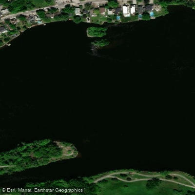
Rivière des Prairies
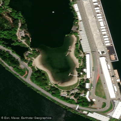
Plage Jean-Doré

Ottawa River
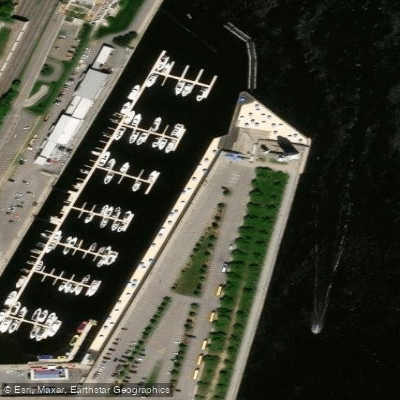
Plage de l'Horloge
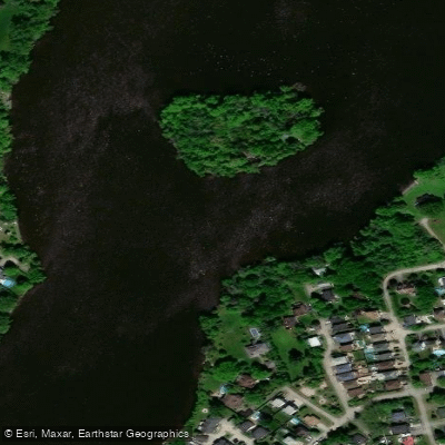
Rivière des Mille Îles
Rivière Richelieu
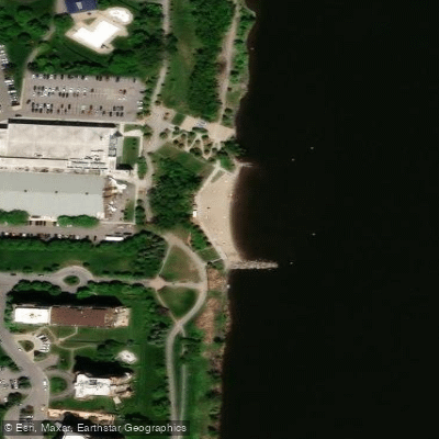
Plage urbaine de Verdun
Rivière L'Assomption
Explore Qc waters
Top paddling waters
No waters available right now.
Popular Cities
Loading popular cities...
Explore near Rivière de la Tortue

Smarter Paddling Starts in the App.
Paddleways gives you everything you need to plan smarter, paddle better, and own every trip from first launch to takeout.