Rivière des Prairies
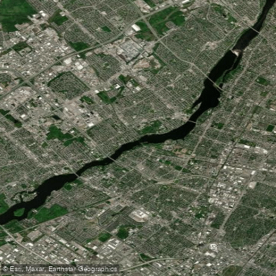
Rivière des Prairies
- Boat Ramps
- 0
- Access Points
- 0
- Campsites
- 0
The Rivière des Prairies, known in English as the Back River, is a delta channel of the Ottawa River in southwestern Quebec. It originates at the Lake of Two Mountains, flows west to east through the Hochelaga Archipelago, passing on either side of Île Bizard before forming the boundary between the Island of Montreal to the south and Île Jésus (Laval) to the north. It ultimately empties into the St. Lawrence River at the eastern tip of the Island of Montreal. The Kanien'kehá:ka people called it Skowanoti, meaning "River behind the island," reflecting its geographic position relative to the islands it surrounds.
The river is a freshwater body and draws considerable interest from anglers, with species including channel catfish, common carp, freshwater drum, lake sturgeon, northern pike, rock bass, smallmouth bass, and walleye present in its waters. Paddlers sharing the river with fishing activity should be aware of this recreational use, particularly during warmer months when fishing pressure is likely highest. Fishing regulations include size and daily limits for walleye, lake sturgeon, and bass, with specific open seasons for each species.
The river runs through a heavily urbanized corridor between two major Canadian cities, Montreal and Laval, giving it a distinctly urban character. Several bridges cross the river along its length, including the Louis Bisson Bridge, and the island of Île aux Chats is a notable geographic feature visible along the route. The urban setting means paddlers will encounter infrastructure and development along the shoreline rather than a remote or wilderness experience.
The Paddling.com listing places the river under the Laval region, confirming it as a recognized paddling location, though detailed information on specific access points, put-in and take-out locations, and paddling-specific amenities is limited. Paddlers planning a trip should research current access conditions locally before launching.
Water access, boat ramps & amenities
Learn how to get on Rivière des Prairies. Uncover great paddling access points, boat ramps, and all the facilities you need for an unforgettable day on the water. Some locations shown may border or include private property. Always check property boundaries and applicable regulations before visiting. PaddleWays's Public & Private Land layer can help you plan your access with confidence.
Paddle smarter with real-time insights
Whether you're en route and conditions shift or you're looking for the best spot based on current flows, we enable you to make informed decisions on the fly.







Qc licenses and regulations
No licenses or regulations available for Qc.
Find Places to Paddle

Over 400,000 Places to Paddle
Every user gets free access to launch points, boat ramps, and public property parcels.


Water and weather conditions (10 day forecast)
See the best times to paddle Rivière des Prairies and check the forecast before you go.
No forecast data available.
Paddling near Rivière des Prairies
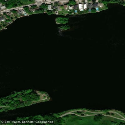
Rivière des Prairies
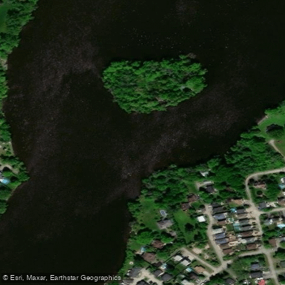
Rivière des Mille Îles
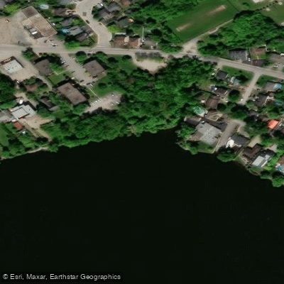
Plage Lajeunesse
Fleuve Saint-Laurent

Ottawa River
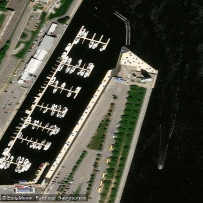
Plage de l'Horloge
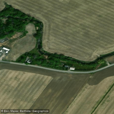
Rivière de la Tortue
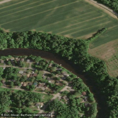
Rivière L'Assomption
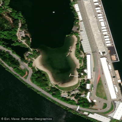
Plage Jean-Doré
Explore Qc waters
Top paddling waters
No waters available right now.
Popular Cities
Loading popular cities...
Explore near Rivière des Prairies

Smarter Paddling Starts in the App.
Paddleways gives you everything you need to plan smarter, paddle better, and own every trip from first launch to takeout.