Rivière des Mille Îles
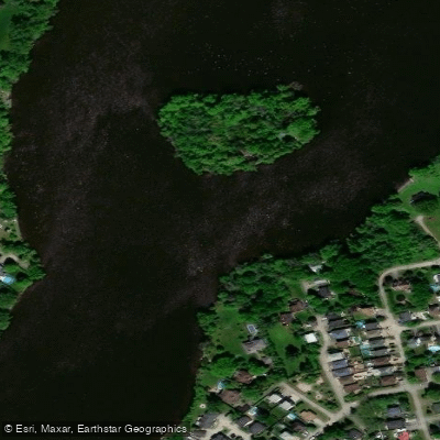
Rivière des Mille Îles
- Boat Ramps
- 0
- Access Points
- 0
- Campsites
- 1
The Rivière des Mille Îles is a 42-kilometre river in Quebec that connects Lac des Deux-Montagnes and the Ottawa River to the St. Lawrence, flowing along the north shore of Laval and passing through a landscape of islands, marshes, and shallow channels. The river is the namesake of Parc de la Rivière-des-Mille-Îles, a regional park accessible from both the Laval shore (Sainte-Rose sector) and the North Shore communities of Boisbriand and Terrebonne.
The water is generally calm and shallow through the island archipelago, making it manageable for paddlers of varying experience levels. The park operates five boat rental centres offering canoes, single and double kayaks, rowboats, rabaskas, and stand-up paddleboards. Paddlers bringing their own human-powered watercraft can self-launch for a day fee of $12.50 or purchase a seasonal pass for $50. The main Berge du Garot access point in the Sainte-Rose sector is the Berge du Garot, where parking is available. An alternative free Rue de l'Île-Gagnon launch exists at the end of Rue de l'Île-Gagnon, though it requires navigating rocks to reach the water.
The river corridor supports a notable diversity of wildlife, including beavers, turtles, great blue herons, Canada geese, bats, and over 200 recorded bird species near Île-des-Moulins. Fish species present include bass, catfish, northern pike, copper redhorse, sturgeon, and perch. Fishing is prohibited in the section between the Highway 25 bridge and the Quebec-Gatineau railway bridge from April 1 through June 30, and fishing for copper redhorse is prohibited at all times.
Several islands within the park are accessible by paddlecraft, identified by numbered posts and yellow signs, and equipped with docks and picnic tables; some have pit toilets. Self-guided routes allow paddlers to explore the Sainte-Rose Archipelago, with destinations such as Île aux Fraises. Day-long trips are possible heading west toward Boisbriand or Deux-Montagnes, or east toward Rosemere and Terrebonne's Île aux Vaches. Wind and current should be factored into trip planning, particularly on longer outings. The park is located approximately 30 minutes from Montreal, making it practical for half-day or after-work paddles.
Water access, boat ramps & amenities
Learn how to get on Rivière des Mille Îles. Uncover great paddling access points, boat ramps, and all the facilities you need for an unforgettable day on the water. Some locations shown may border or include private property. Always check property boundaries and applicable regulations before visiting. PaddleWays's Public & Private Land layer can help you plan your access with confidence.
Paddle smarter with real-time insights
Whether you're en route and conditions shift or you're looking for the best spot based on current flows, we enable you to make informed decisions on the fly.







Qc licenses and regulations
No licenses or regulations available for Qc.
Find Places to Paddle

Over 400,000 Places to Paddle
Every user gets free access to launch points, boat ramps, and public property parcels.


Water and weather conditions (10 day forecast)
See the best times to paddle Rivière des Mille Îles and check the forecast before you go.
MILLE ILES (RIVIERE DES) A BOIS-DES-FILION
All Flow Stations
Paddling near Rivière des Mille Îles
Rivière des Prairies
Plage Lajeunesse
Fleuve Saint-Laurent

Ottawa River
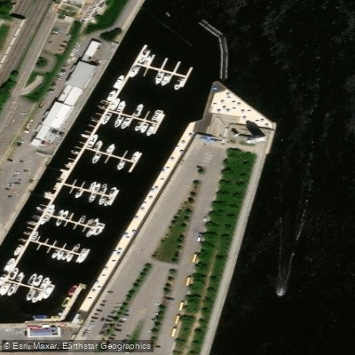
Plage de l'Horloge
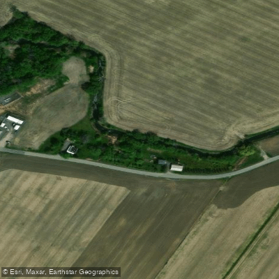
Rivière de la Tortue
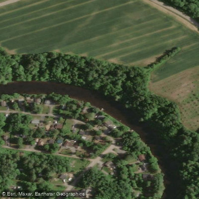
Rivière L'Assomption
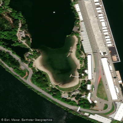
Plage Jean-Doré
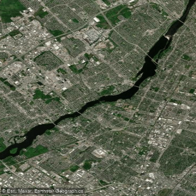
Rivière des Prairies
Explore Qc waters
Top paddling waters
No waters available right now.
Popular Cities
Loading popular cities...
Explore near Rivière des Mille Îles
Access points
Nearby waters
More in Qc

Smarter Paddling Starts in the App.
Paddleways gives you everything you need to plan smarter, paddle better, and own every trip from first launch to takeout.