Rivière Richelieu
Rivière Richelieu
- Boat Ramps
- 0
- Access Points
- 9
- Campsites
- 0
The Richelieu River flows approximately 170 kilometres from the north end of Lake Champlain downstream to the St. Lawrence River at Sorel-Tracy, passing through the Montérégie region of Quebec. It forms an important link in the international "Lakes to Locks" recreational waterway, connecting the Montreal and St. Lawrence area to Lake Champlain and, for those continuing south, to New York State and Vermont. The river's character is generally calm and unhurried through most of its length, with shores dotted by villages, cottages, and marinas that make it well-suited to paddlers of varying experience levels.
One notable exception to the river's otherwise gentle nature is the Chambly rapids, located near the town of Chambly, which are used for whitewater kayaking. Between Saint-Jean-sur-Richelieu and Chambly, a stretch of the river is not navigable, and the historic Chambly Canal — completed in 1843 with nine locks — provides an alternative passage for those continuing north. Paddlers should be aware of this non-navigable section when planning longer routes.
The Route Bleue, a designated paddling corridor, runs along the Richelieu and is accessible to beginners as well as those seeking longer outings. Key launch areas include the Île Sainte-Thérèse and the Vieux-Saint-Jean area in Saint-Jean-sur-Richelieu, as well as riverside parks such as Centre-de-plein-air-Ronald-Beauregard and Parc Goyette. The Quai Ryan access point offers free parking, a grassed area with picnic tables, a sandy beach suitable for launching kayaks, canoes, and stand-up paddleboards, and a boat ramp. The Chambly Basin, where the river widens to an almost lake-like expanse, is particularly well-regarded for beginner paddlers.
Paddling routes range from short loops with wildlife observation opportunities to longer trips extending toward the U.S. border. The river corridor passes through areas of historical and cultural significance, including traces of military and colonial heritage. Numerous marinas and quais along the route provide options for resupply and rest stops. The river also offers opportunities to observe local flora and fauna, particularly around Île Sainte-Thérèse.
Water access, boat ramps & amenities
Learn how to get on Rivière Richelieu. Uncover great paddling access points, boat ramps, and all the facilities you need for an unforgettable day on the water. Some locations shown may border or include private property. Always check property boundaries and applicable regulations before visiting. PaddleWays's Public & Private Land layer can help you plan your access with confidence.
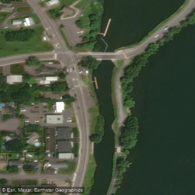
Bridge 10 station Day Use Area
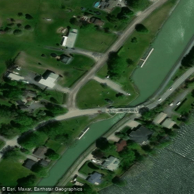
Bridge 7 station Day Use Area
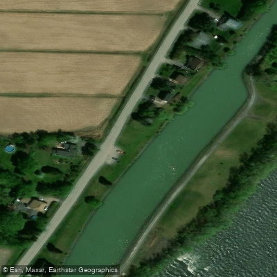
Canal-Rivière station Day Use Area
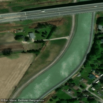
Former bridge 6 station Day Use Area
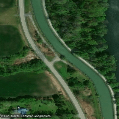
Former bridge 9 station Day Use Area
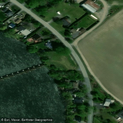
Fryer regulator station Day Use Area
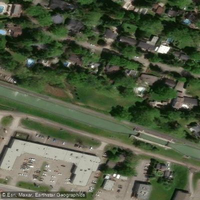
Lock 4 station Day Use Area
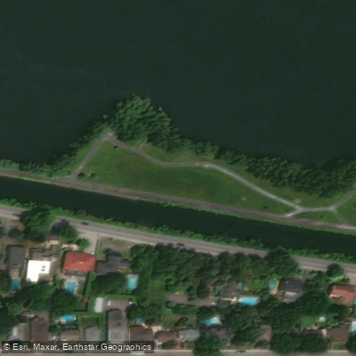
Moulins-Langelier station Day Use Area
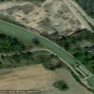
Old railway bridge Station Day Use Area
Paddle smarter with real-time insights
Whether you're en route and conditions shift or you're looking for the best spot based on current flows, we enable you to make informed decisions on the fly.







Qc licenses and regulations
No licenses or regulations available for Qc.
Find Places to Paddle

Over 400,000 Places to Paddle
Every user gets free access to launch points, boat ramps, and public property parcels.


Water and weather conditions (10 day forecast)
See the best times to paddle Rivière Richelieu and check the forecast before you go.
RICHELIEU (RIVIERE) AUX RAPIDES FRYERS
All Flow Stations
Paddling near Rivière Richelieu
Fleuve Saint-Laurent
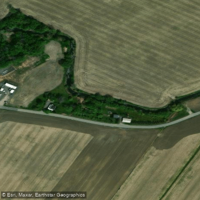
Rivière de la Tortue
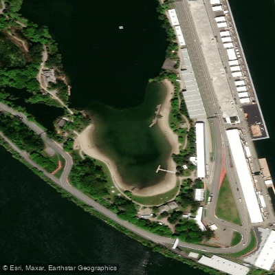
Plage Jean-Doré
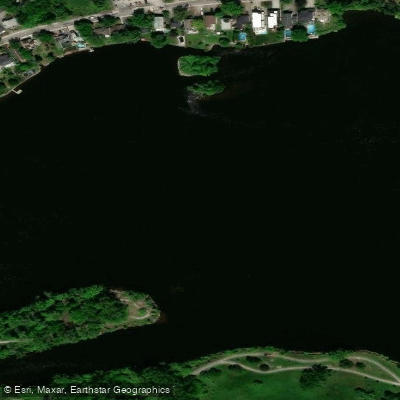
Rivière des Prairies
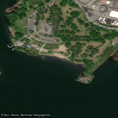
Plage de Longueuil
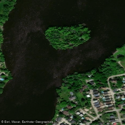
Rivière des Mille Îles
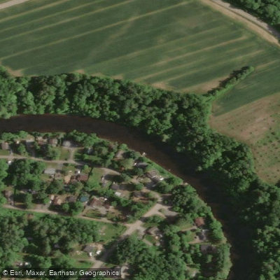
Rivière L'Assomption
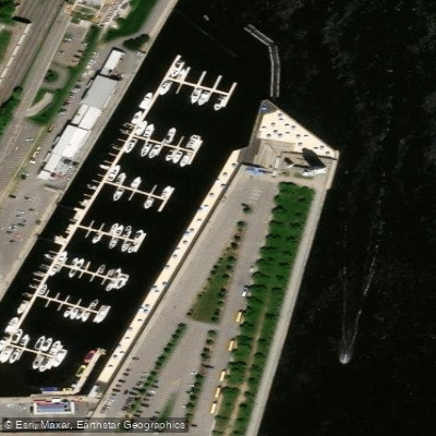
Plage de l'Horloge

Ottawa River
Explore Qc waters
Top paddling waters
No waters available right now.
Popular Cities
Loading popular cities...
Explore near Rivière Richelieu
Access points
- Bridge 10 station Day Use Area
- Bridge 7 station Day Use Area
- Canal-Rivière station Day Use Area
- Former bridge 6 station Day Use Area
- Former bridge 9 station Day Use Area
- Fryer regulator station Day Use Area
- Lock 4 station Day Use Area
- Moulins-Langelier station Day Use Area
- Old railway bridge Station Day Use Area
- Pont d'entrée du canal Chambly (Chambly Canal Inlet Bridge)
- Pont Yule
- Quebec Bridge
- All 13 spots
Nearby waters
More in Qc

Smarter Paddling Starts in the App.
Paddleways gives you everything you need to plan smarter, paddle better, and own every trip from first launch to takeout.