Broderick Reservoir
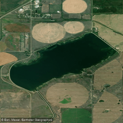
Broderick Reservoir
- Boat Ramps
- 0
- Access Points
- 0
- Campsites
- 0
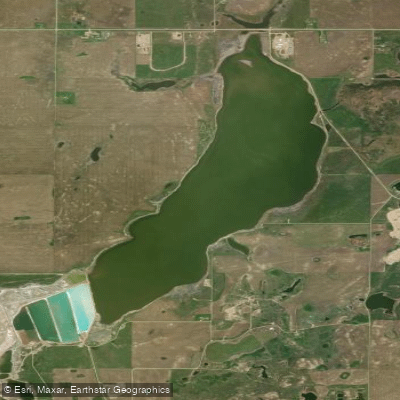
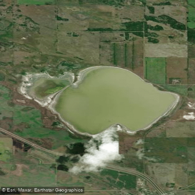
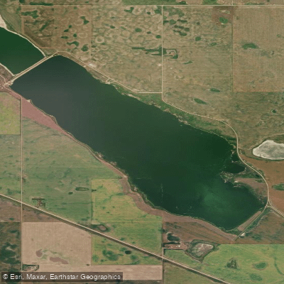
Broderick Reservoir is a medium-sized irrigation reservoir located approximately 11 kilometres south-southeast of Outlook in the Rural Municipality of Rudy No. 284, Saskatchewan, roughly 76 kilometres south-southwest of Saskatoon. Built in 1967 as part of the South Saskatchewan River Project, it is the first in a series of reservoirs fed by the 22.5-kilometre M1 Canal originating at Lake Diefenbaker and Gardiner Dam. The reservoir covers approximately 890–892 acres with a shoreline of roughly 10 kilometres and a maximum depth of 8.6 metres (28 feet). It is managed by the Saskatchewan Water Security Agency and bounded by two earthen dams: the West Dam at 8.8 metres high and the North Dam at 5.6 metres high.
The public has access to the reservoir for fishing and other water sports. There are two boat launches on the reservoir — a north launch and a south boat launch. Notably, signage at the south boat launch indicates that motors are not permitted, which would make the reservoir a quieter environment for paddlers. There are no communities directly along the shoreline; the village of Broderick lies approximately 1.6 kilometres to the north.
Walleye, Northern Pike, Lake Whitefish, White Sucker, and Yellow Perch are fish species present in the reservoir. Anglers should be aware that custom catch limits apply to many species, and regulations fall under Saskatchewan's Southern Zone. The reservoir's role as an irrigation and water supply facility means water levels may fluctuate depending on operational demands, which is worth considering when planning a trip.
The reservoir sits in the open prairie landscape typical of southern Saskatchewan, with no significant tree cover or topographic relief along the shoreline. The capacity of the reservoir is 16,035 dam³ (approximately 13,000 acre-feet). Given its prairie setting and relatively shallow maximum depth, wind can be a meaningful factor on the water, and paddlers should plan accordingly. The absence of motorized boats — at least from the south launch — makes it a more straightforward environment for non-motorized watercraft.
Water access, boat ramps & amenities
Learn how to get on Broderick Reservoir. Uncover great paddling access points, boat ramps, and all the facilities you need for an unforgettable day on the water. Some locations shown may border or include private property. Always check property boundaries and applicable regulations before visiting. PaddleWays's Public & Private Land layer can help you plan your access with confidence.
Paddle smarter with real-time insights
Whether you're en route and conditions shift or you're looking for the best spot based on current flows, we enable you to make informed decisions on the fly.








Find Places to Paddle

Over 400,000 Places to Paddle
Every user gets free access to launch points, boat ramps, and public property parcels.


Water and weather conditions (10 day forecast)
See the best times to paddle Broderick Reservoir and check the forecast before you go.
BRODERICK RESERVOIR AT WEST EMBANKMENT
Paddling near Broderick Reservoir
Explore Sk waters
Top paddling waters
No waters available right now.
Popular Cities
Loading popular cities...
Explore near Broderick Reservoir

Smarter Paddling Starts in the App.
Paddleways gives you everything you need to plan smarter, paddle better, and own every trip from first launch to takeout.