Río Ñuble
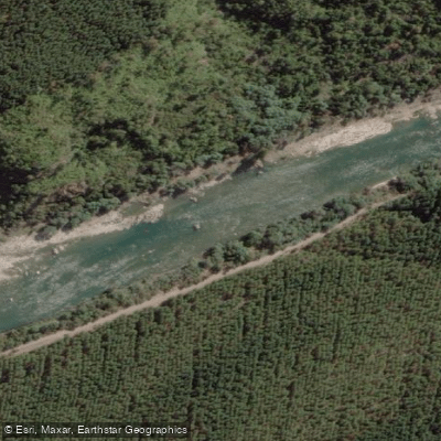
Río Ñuble
- Boat Ramps
- 0
- Access Points
- 0
- Campsites
- 6
The Río Ñuble flows through the Ñuble Region of southern central Chile, draining into the Itata River via its main tributaries, the Chillán and Claro rivers. The river is known for its distinctively turquoise water, a quality that sets it apart from the brown-colored rivers more typical of the region. The surrounding landscape features snow-covered peaks and an alpine character that paddlers frequently compare to mountain rivers in Europe, though the Ñuble is considerably wider and carries more volume.
The river is most commonly paddled in two sections. The upper section runs approximately 14 kilometers and is rated Class III-IV, featuring a mix of boulder gardens, box canyon rock formations, and a notable crux rapid that demands technical maneuvering around large rocks. There is also an extended flat-water stretch suitable for play boating. The lower section is rated Class III and is characterized by continuous wave trains. Water levels on the upper Ñuble rise through early November as snowmelt increases, and the river is generally considered at its best between December and March. A more remote section of the river exists upstream of the upper run, rated Class IV, but access is extremely difficult — requiring multiple vehicle river crossings and significant off-road driving. Local farmers in that area typically travel by horse.
The village of San Fabián serves as the primary base for paddlers, where cabaña accommodation is available nearby. The area around San Fabián has a local cultural scene, and paddlers staying in the valley have access to traditional Chilean hospitality including asado gatherings. The river is located a few hours from Concepción, making it accessible as a multi-day destination from Chile's second-largest city. It also sits along a popular kayaking road trip corridor between Santiago and Pucón.
Paddlers should be aware that a dam project has been proposed or partially initiated on the Río Ñuble, which has generated significant local controversy. The status of this project may affect certain sections of the river and is worth researching before planning a trip.
Water access, boat ramps & amenities
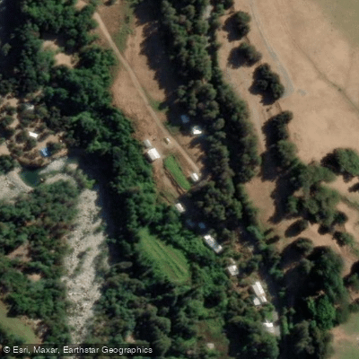
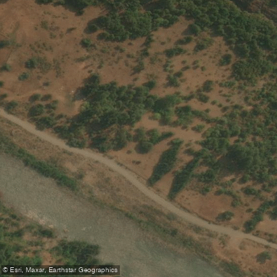
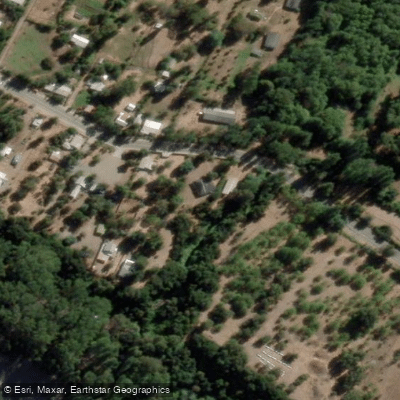
Learn how to get on Río Ñuble. Uncover great paddling access points, boat ramps, and all the facilities you need for an unforgettable day on the water. Some locations shown may border or include private property. Always check property boundaries and applicable regulations before visiting. PaddleWays's Public & Private Land layer can help you plan your access with confidence.
Paddle smarter with real-time insights
Whether you're en route and conditions shift or you're looking for the best spot based on current flows, we enable you to make informed decisions on the fly.







Ñuble licenses and regulations
No licenses or regulations available for Ñuble.
Find Places to Paddle

Over 400,000 Places to Paddle
Every user gets free access to launch points, boat ramps, and public property parcels.


Water and weather conditions (10 day forecast)
See the best times to paddle Río Ñuble and check the forecast before you go.
Rio Ñuble En La Punilla
All Flow Stations
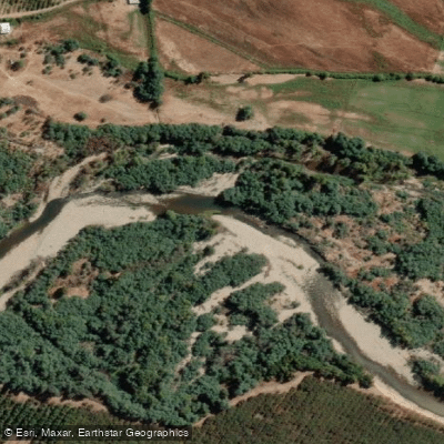
Paddling near Río Ñuble
Río Cato
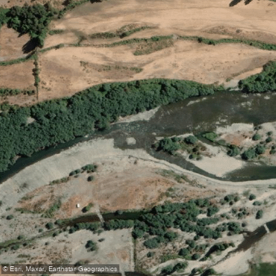
Río Diguillín
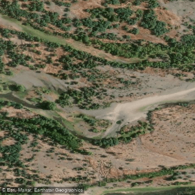
Río Itata
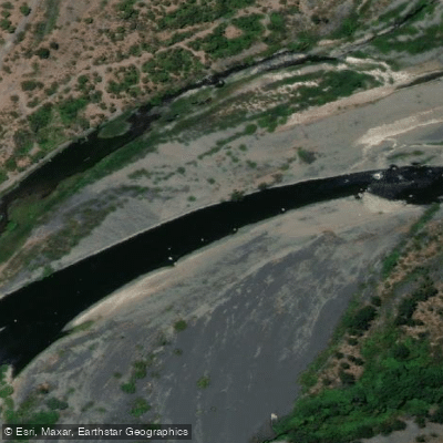
Río Laja
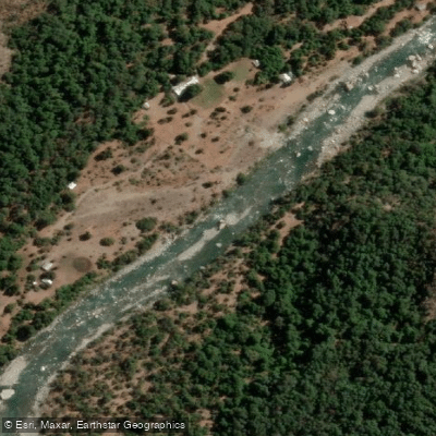
Río Achibueno
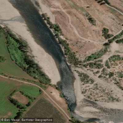
Río Longaví
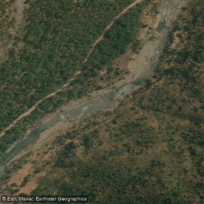
Río Los Sauces
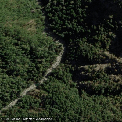
Río Bullileo
Río Bullilleo
Explore Ñuble waters
Top paddling waters
No waters available right now.
Popular Cities
Loading popular cities...
Explore near Río Ñuble

Smarter Paddling Starts in the App.
Paddleways gives you everything you need to plan smarter, paddle better, and own every trip from first launch to takeout.