Río Laja
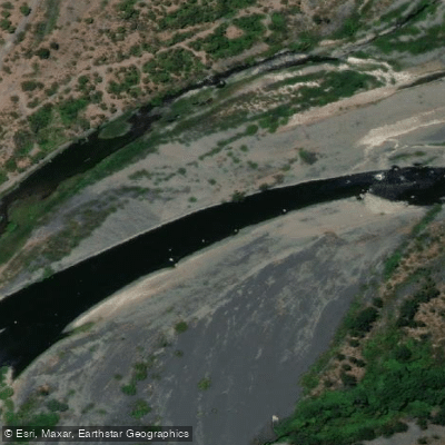
Río Laja
- Boat Ramps
- 0
- Access Points
- 0
- Campsites
- 9
The Río Laja is a 140-kilometer river in Chile's Biobío Region, originating at Laguna del Laja in the Andes and flowing westward through the Chilean Central Valley before joining the Biobío River. The basin covers approximately 4,040 square kilometers. One of the river's distinctive geographical features is its source: water exits Laguna del Laja through the side of a mountain at the lake's bottom, which means the river's flow remains consistently constant regardless of season — an unusual characteristic that sets it apart from snowmelt- or rainfall-dependent rivers.
The Río Laja is regarded among whitewater kayakers in Chile as a Class 5 run, characterized as very steep and technically demanding. The consistent water level, a product of its unique lake-bottom drainage origin, makes it a reliable destination for planning purposes throughout the year without the variability that affects many other Andean rivers.
The river corridor passes through striking Andean scenery, and the headwaters area at Laguna del Laja features dark volcanic sand and rock, reflecting the volcanic geology of the region. The Salto del Laja (Laja Falls) is a notable natural feature located along the river's course.
Three hydropower plants are situated at and below the outlet of Laguna del Laja, including the 400 MW El Toro Hydroelectric Plant, constructed in 1973, and the 300 MW Antuco Hydroelectric Plant. Paddlers should be aware of the presence of this hydropower infrastructure along the drainage, as it is a significant feature of the river corridor. There have also been concerns raised about proposed additional hydroelectric development that could affect the whitewater sections and the rural communities along the river.
The rivers of southern Chile generally are noted for their clean, pristine water quality, and the Laja's Andean origin contributes to this character. The surrounding landscape includes rural homesteads and communities along the drainage, adding a cultural dimension to travel in the area.
Water access, boat ramps & amenities
Learn how to get on Río Laja. Uncover great paddling access points, boat ramps, and all the facilities you need for an unforgettable day on the water. Some locations shown may border or include private property. Always check property boundaries and applicable regulations before visiting. PaddleWays's Public & Private Land layer can help you plan your access with confidence.
Paddle smarter with real-time insights
Whether you're en route and conditions shift or you're looking for the best spot based on current flows, we enable you to make informed decisions on the fly.







Biobío licenses and regulations
No licenses or regulations available for Biobío.
Find Places to Paddle

Over 400,000 Places to Paddle
Every user gets free access to launch points, boat ramps, and public property parcels.


Water and weather conditions (10 day forecast)
See the best times to paddle Río Laja and check the forecast before you go.
Canal De Descarga Central Antuco
All Flow Stations
Paddling near Río Laja
Río Itata
Río Diguillín
Río Cholguán
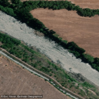
Río Biobío
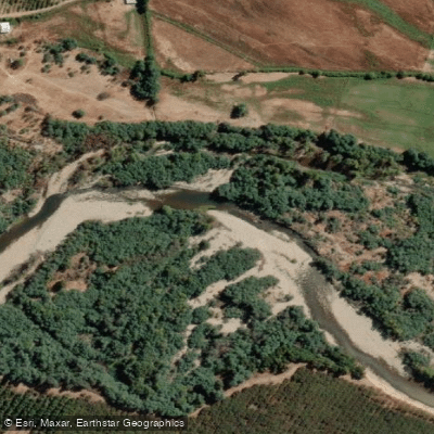
Río Cato
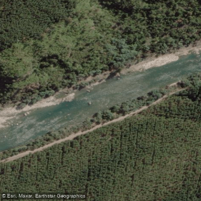
Río Ñuble
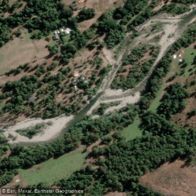
Río Huequecura
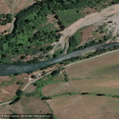
Río Duqueco
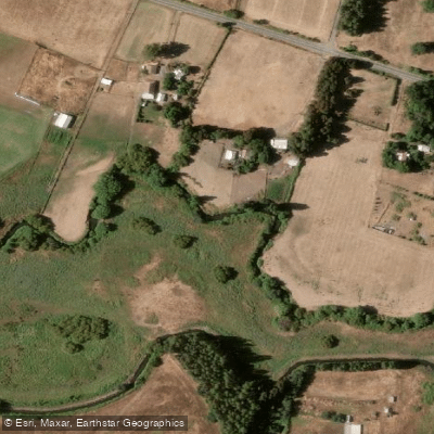
Estero Quilque
Explore Biobío waters
Top paddling waters
No waters available right now.
Popular Cities
Loading popular cities...
Explore near Río Laja
Access points
Nearby waters
More in Biobío

Smarter Paddling Starts in the App.
Paddleways gives you everything you need to plan smarter, paddle better, and own every trip from first launch to takeout.