Río Cautín
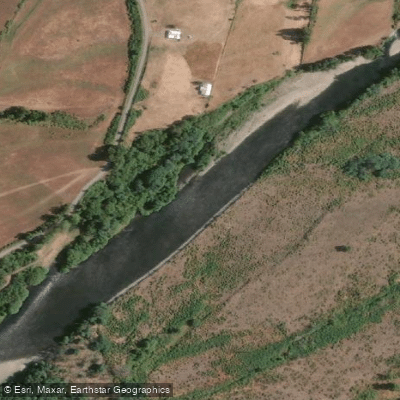
Río Cautín
- Boat Ramps
- 0
- Access Points
- 0
- Campsites
- 6
The Río Cautín originates from the snowfields on Volcán Lonquimay (2,865 meters elevation) on the western slopes of the Cordillera de Las Raíces, flowing westward through La Araucanía Region for approximately 174 km before joining the Imperial River. The river drains a basin of roughly 3,100 km². Its name derives from the Mapuche word meaning "very green," a reference to the river's characteristic emerald-colored water. The city of Temuco sits along its lower course.
The primary whitewater run is 9 km with a total drop of 124 meters, averaging 16 m/km (approximately 80 feet per mile), making it a technically demanding stretch. The standard put-in is near Malalcahuello, and the takeout is at Puente Manchuria, situated at 651 meters above sea level at km marker 68.5. A swinging bridge marks the takeout, and a campground and hospedaje called Andenrose — owned by a German kayaker — is located on the opposite bank. The owners occasionally run raft trips from Puente Manchuria and may be able to assist with shuttle logistics. An alternative takeout or secondary put-in exists at a swinging bridge approximately 4.2 km into the run. At the 7 km mark, the Salto del Indio enters from river right.
The canyon walls are densely forested, which obscures the whitewater from above the rim. The upper section near Malalcahuello features calmer, clearer water and is used for beginner kayak instruction. The more challenging whitewater is found lower in the canyon. Because the river originates from volcanic snowfields, water temperatures remain cold throughout the season.
The run is best attempted in spring or early summer when flows exceed 700 CFS, though it can be paddled at lower flows well into summer. The surrounding landscape includes volcanic terrain associated with Volcán Lonquimay and Volcán Llaima, araucaria forests, and basaltic river corridors typical of the Araucanía Andina zone. Rafting is also offered commercially in the Malalcahuello area. The nearest logical base for accessing the upper river is Curacautín, located 83 km northeast of Temuco via Route CH-181.
Water access, boat ramps & amenities
Learn how to get on Río Cautín. Uncover great paddling access points, boat ramps, and all the facilities you need for an unforgettable day on the water. Some locations shown may border or include private property. Always check property boundaries and applicable regulations before visiting. PaddleWays's Public & Private Land layer can help you plan your access with confidence.
Paddle smarter with real-time insights
Whether you're en route and conditions shift or you're looking for the best spot based on current flows, we enable you to make informed decisions on the fly.







La Araucanía licenses and regulations
No licenses or regulations available for La Araucanía.
Find Places to Paddle

Over 400,000 Places to Paddle
Every user gets free access to launch points, boat ramps, and public property parcels.


Water and weather conditions (10 day forecast)
See the best times to paddle Río Cautín and check the forecast before you go.
Rio Cautin En Rari-Ruca
All Flow Stations
Paddling near Río Cautín
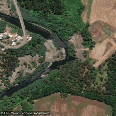
Río Quepe
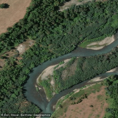
Río Allipén

Río Toltén
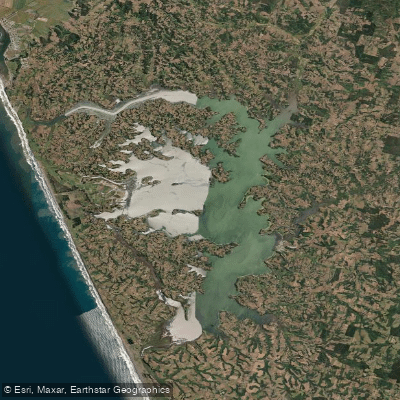
Lago Budi
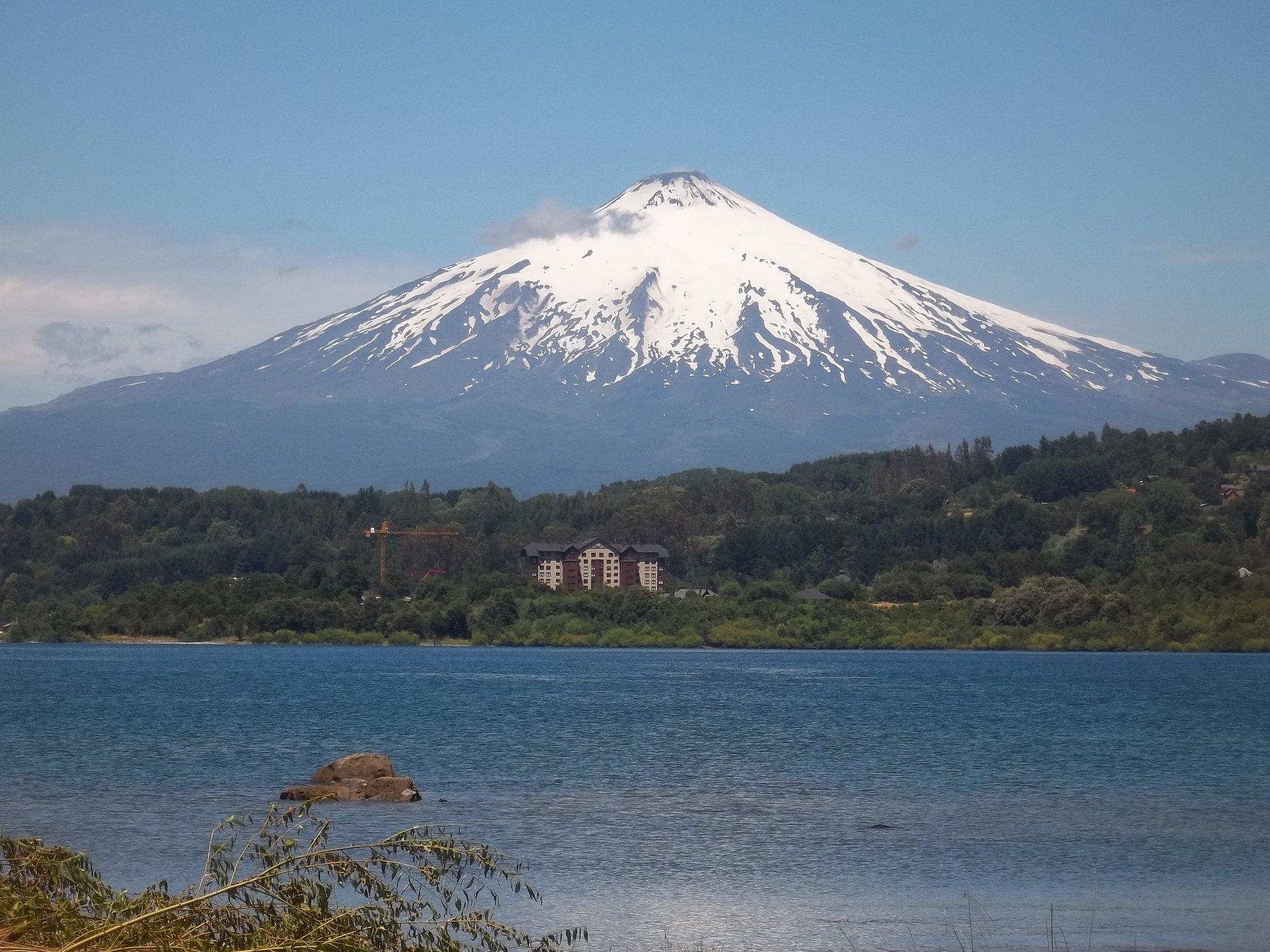
Lago Villarrica
Lago Colico
Río Truful Truful
Río Lumaco
Río Llaima
Explore La Araucanía waters
Top paddling waters
No waters available right now.
Popular Cities
Loading popular cities...
Explore near Río Cautín
Access points
- Camino Caracoles
- Camino Fundo El Hoyo
- Camino Piedra Cortada - Malalcahuello
- Escorial - Salto La Princesa
- Línea Central Sur
- Malalcahuello - Alto Centinela
- Manchuria - La Princesa
- Puente Mecano Malalcahuello
- Puente Treng Treng Y Kay Kay
- Puente Treng Treng Y Kay Kay
- Puente Treng-Treng Y Kay-Kay
- Ruta 181 Ch
- All 26 spots
Nearby waters
More in La Araucanía

Smarter Paddling Starts in the App.
Paddleways gives you everything you need to plan smarter, paddle better, and own every trip from first launch to takeout.