Río Llaima
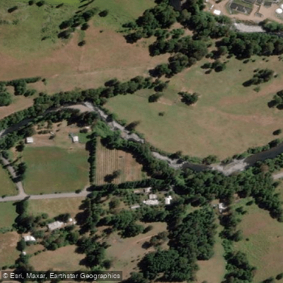
Río Llaima
- Boat Ramps
- 0
- Access Points
- 0
- Campsites
- 0
The Río Llaima, also known as the Río Pichapinga, is a whitewater river in the Araucanía Region of Chile, draining terrain near the Llaima volcano. The main run extends 8.2 km from Puente Pichapinga at 730 meters elevation down to the takeout at approximately 430 meters, yielding a total elevation drop of 300 meters — an average gradient of 36.5 m/km (182 feet per mile). This is a steep, committing gradient that produces continuous whitewater.
At low flows around 100 CFS at the put-in (rising to roughly 300 CFS at the takeout), the run is bony but navigable at class 3–4, with two sections that may require portaging around stranded trees. At higher flows, the difficulty increases to class 4 with potential class 5 sections. Paddlers can extend the run by putting in an additional 1.5 km upstream at one of two hot springs located at 800 meters elevation.
The best season is generally from winter months through the beginning of December, with September and October typically offering good flow. A mid-November observation recorded at least twice the flow seen on the October 3, 2012 first descent, suggesting that flow varies considerably by year and timing within the season.
To reach the takeout from Pucón, allow approximately 2.5 hours of driving: head west to Villarrica, then north to Cunco, then east toward Melipeuco for 18.8 km, turning right at the sign for Termas Balvoa. Cross the bridge over the Allipen River, continue about 5 km on paved road, and turn right at the sign for Curacalco. Follow the gravel road 1.5 km to the first intersection, turn left 560 meters, and cross Puente Coña — this serves as the high-water takeout. In most conditions, continue upstream 900 meters to a small bridge at 430 meters elevation. For the put-in, return to the paved road, turn right through the village of Santa María de Llaima, and follow the main gravel road toward Termas Balvoa or Molulco for 18.2 km to the put-in bridge at Puente Pichapinga. The takeout offers views of Llaima volcano.
Water access, boat ramps & amenities
Learn how to get on Río Llaima. Uncover great paddling access points, boat ramps, and all the facilities you need for an unforgettable day on the water. Some locations shown may border or include private property. Always check property boundaries and applicable regulations before visiting. PaddleWays's Public & Private Land layer can help you plan your access with confidence.
Paddle smarter with real-time insights
Whether you're en route and conditions shift or you're looking for the best spot based on current flows, we enable you to make informed decisions on the fly.







La Araucanía licenses and regulations
No licenses or regulations available for La Araucanía.
Find Places to Paddle

Over 400,000 Places to Paddle
Every user gets free access to launch points, boat ramps, and public property parcels.


Water and weather conditions (10 day forecast)
See the best times to paddle Río Llaima and check the forecast before you go.
No forecast data available.
Paddling near Río Llaima
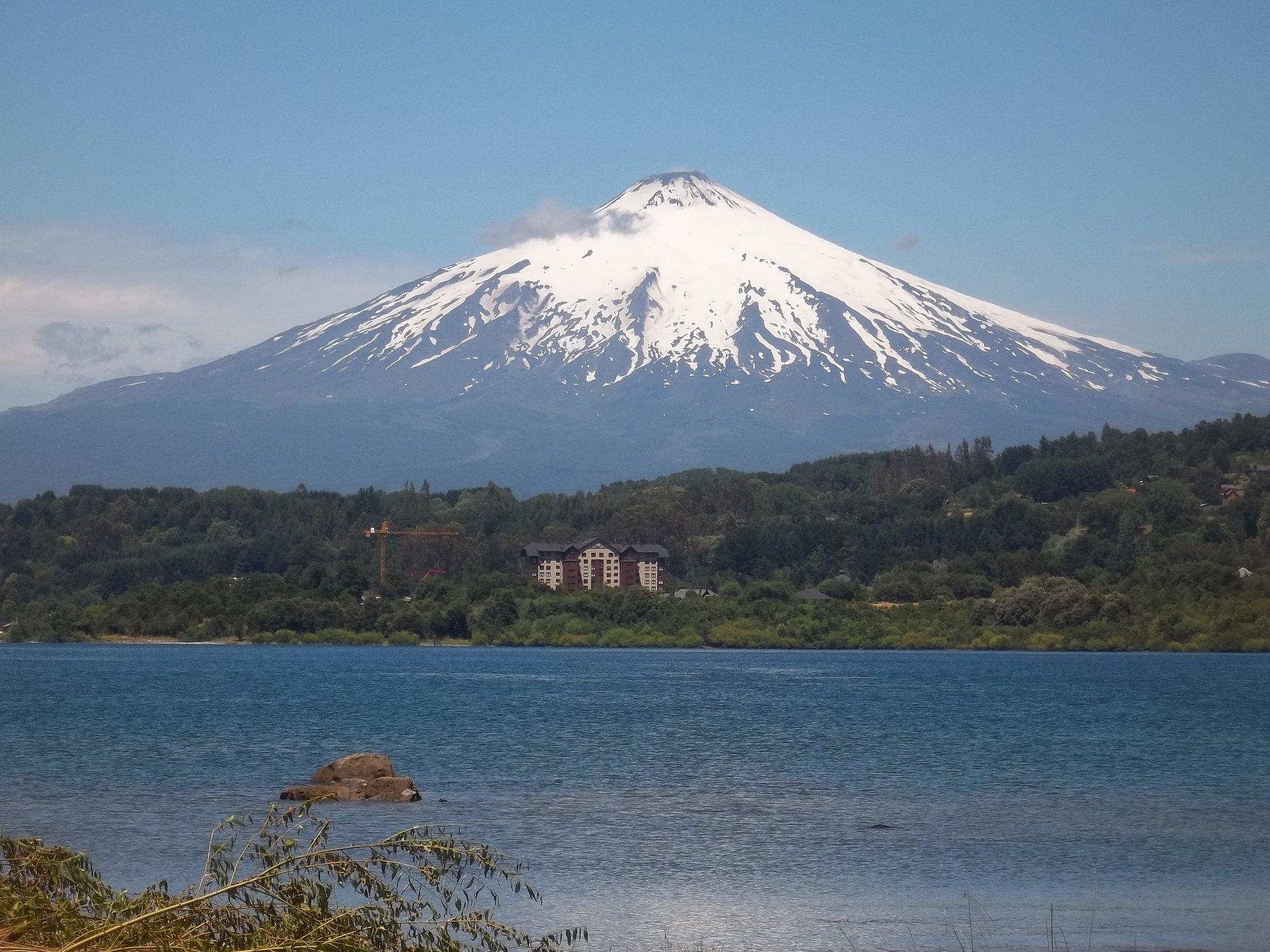
Lago Villarrica
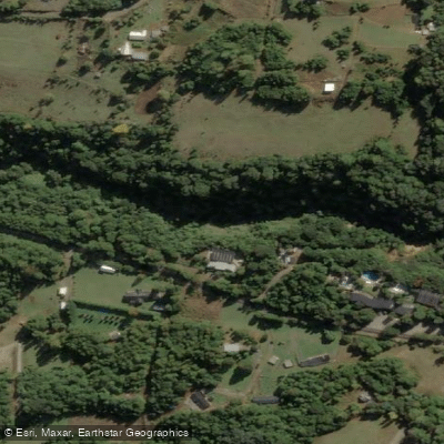
Río Liucura
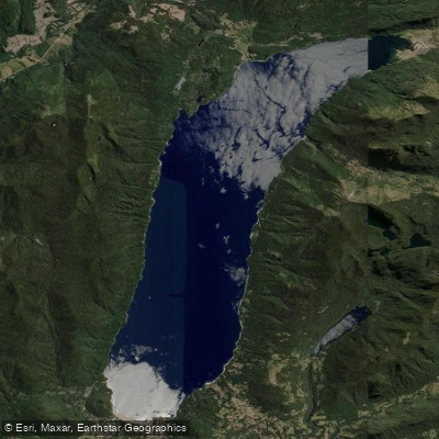
Lago Caburgua

Río Toltén
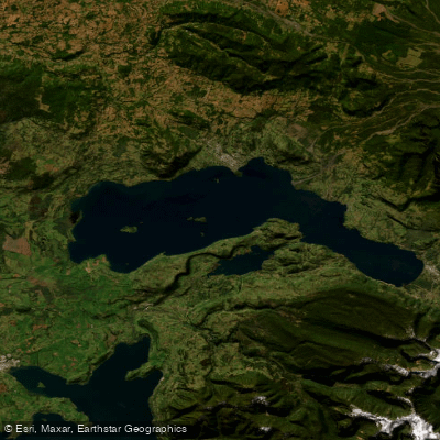
Lago Calafquén
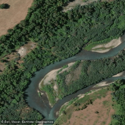
Río Allipén
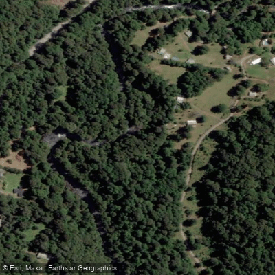
Río Palguín
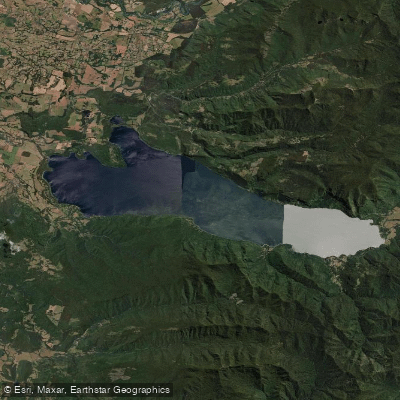
Lago Colico
Río Llancahue
Río Trancura
Explore La Araucanía waters
Top paddling waters
No waters available right now.
Popular Cities
Loading popular cities...
Explore near Río Llaima
Access points
Nearby waters
More in La Araucanía

Smarter Paddling Starts in the App.
Paddleways gives you everything you need to plan smarter, paddle better, and own every trip from first launch to takeout.