Río Puelo
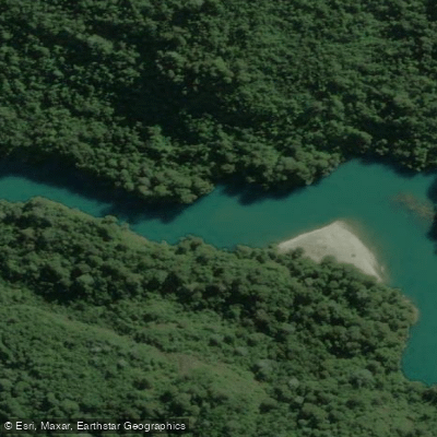
Río Puelo
- Boat Ramps
- 0
- Access Points
- 0
- Campsites
- 1
Río Puelo originates in Argentina near Cerro Tronador and flows westward through the Los Lagos Region, draining through a glacial valley before emptying into the Reloncaví Estuary on the Pacific coast. The river passes through Lago Tagua Tagua along its course, and its waters are notably turquoise and clear. The surrounding landscape consists of temperate rainforest, mountains, and wetlands, with Parque Nacional Pumalin bordering the river on the left bank in its lower reaches.
The river offers a wide range of paddling character across its length. The upper section entering Chile from Argentina begins as Class II water, then within roughly six kilometers is compressed into a narrow, technically demanding Class IV-V canyon. Approximately six more kilometers downstream lies a second canyon known as El Portón, rated Class III-IV. Below El Portón, the river transitions to Class II-III minus conditions through lakes and flatwater sections, eventually becoming navigable by sea kayak all the way to the ocean. The full traverse from Argentina to the Pacific represents a complete water crossing of the Andes.
Access to the valley improved significantly about ten years ago when a road was constructed into the lower Puelo Valley, which had previously been more easily reached from the Argentine side via lake crossings. From Puerto Varas, the river can be reached via Route 225 to Ensenada, then Route V-59 to Puelo. Alternatively, travelers can take the Carretera Austral to Caleta La Arena, cross by ferry to Caleta Puelche, and continue on Route V-69 to Puelo. Bus service from Puerto Montt terminal runs approximately four times daily.
The climate is rainy and temperate year-round, with precipitation occurring in all seasons. Sport fishing for rainbow trout, marrón, and fario is available, with the fishing season running from September to May. The river corridor supports diverse birdlife, and the wetland sections are particularly noted for bird variety. Guided kayak trips on the calmer sections, including paddles on Lago Tagua Tagua, are offered by local operators and are rated as easy to moderate, suitable for groups of two to eight people and open to participants over eleven years of age.
Water access, boat ramps & amenities
Learn how to get on Río Puelo. Uncover great paddling access points, boat ramps, and all the facilities you need for an unforgettable day on the water. Some locations shown may border or include private property. Always check property boundaries and applicable regulations before visiting. PaddleWays's Public & Private Land layer can help you plan your access with confidence.
Paddle smarter with real-time insights
Whether you're en route and conditions shift or you're looking for the best spot based on current flows, we enable you to make informed decisions on the fly.







Los Lagos licenses and regulations
No licenses or regulations available for Los Lagos.
Find Places to Paddle

Over 400,000 Places to Paddle
Every user gets free access to launch points, boat ramps, and public property parcels.


Water and weather conditions (10 day forecast)
See the best times to paddle Río Puelo and check the forecast before you go.
Rio Puelo En La Frontera
All Flow Stations
Paddling near Río Puelo
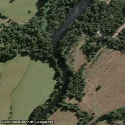
Río Maullín
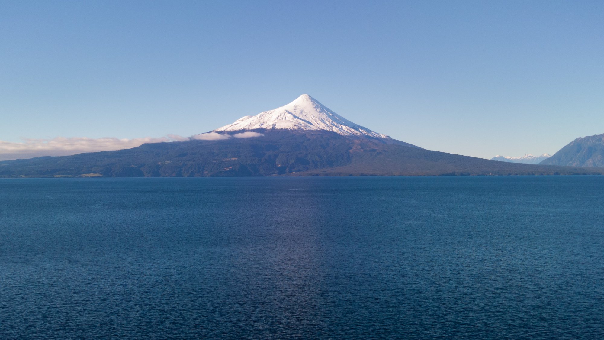
Lago Llanquihue
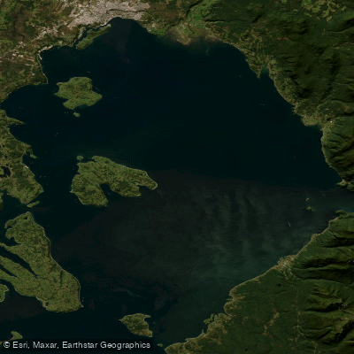
Seno de Reloncaví
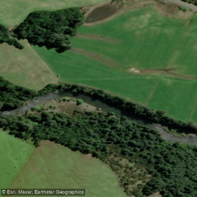
Río Chamiza
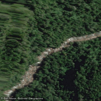
Río Cochamó
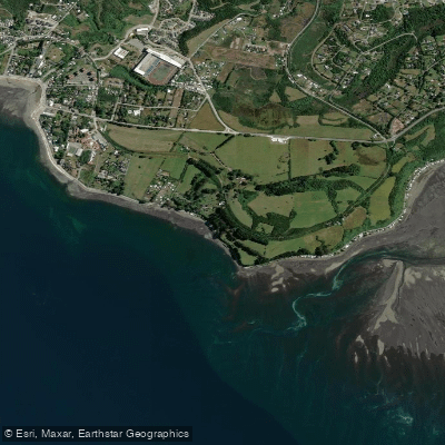
Playa Pelluhuin
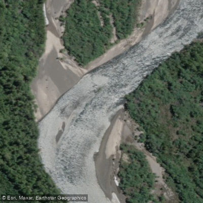
Río Petrohué
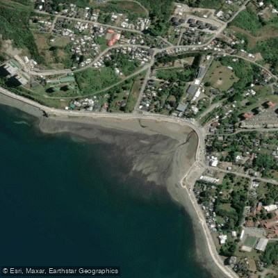
Playa Pelluco
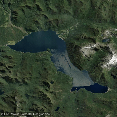
Lago Chapo
Explore Los Lagos waters
Top paddling waters
No waters available right now.
Popular Cities
Loading popular cities...
Explore near Río Puelo
Access points
Nearby waters
More in Los Lagos

Smarter Paddling Starts in the App.
Paddleways gives you everything you need to plan smarter, paddle better, and own every trip from first launch to takeout.