Río Cuchildeo
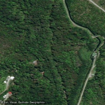
Río Cuchildeo
- Boat Ramps
- 1
- Access Points
- 2
- Campsites
- 3
Río Cuchildeo is a short river in the Los Lagos Region of Chile, approximately 5 km in length. It originates on the southern slopes of Volcán Hornopirén and flows southward before emptying into the northern section of Canal Hornopirén, on the western edge of the town of Hornopirén. It is one of three rivers that flow through or alongside Hornopirén, the others being Río Negro and Río Blanco.
The river is classified as a ritron type, meaning it is a fast-flowing watercourse with a rocky substrate. Its average width is around 6 m, though this varies considerably depending on conditions and season. During winter periods, widths of 15–20 m have been recorded, while some sections narrow to less than 4 m. Current speeds average between 1 and 2 m/s, and the mean annual discharge is 17 m³/s. These characteristics — a swift, relatively narrow channel with variable width — suggest a dynamic river environment that would require attentiveness to changing hydraulics, particularly in constricted sections.
Given its short length and the proximity of Hornopirén at its mouth, the river is geographically accessible from the town. However, designated put-in or take-out points, portages, known hazards, paddling regulations, and facilities for paddlers have not been documented.
Water access, boat ramps & amenities
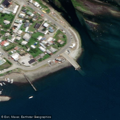
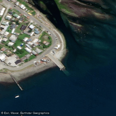
Learn how to get on Río Cuchildeo. Uncover great paddling access points, boat ramps, and all the facilities you need for an unforgettable day on the water. Some locations shown may border or include private property. Always check property boundaries and applicable regulations before visiting. PaddleWays's Public & Private Land layer can help you plan your access with confidence.
Paddle smarter with real-time insights
Whether you're en route and conditions shift or you're looking for the best spot based on current flows, we enable you to make informed decisions on the fly.







Los Lagos licenses and regulations
No licenses or regulations available for Los Lagos.
Find Places to Paddle

Over 400,000 Places to Paddle
Every user gets free access to launch points, boat ramps, and public property parcels.


Water and weather conditions (10 day forecast)
See the best times to paddle Río Cuchildeo and check the forecast before you go.
No forecast data available.
Paddling near Río Cuchildeo
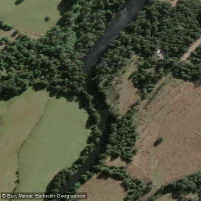
Río Maullín
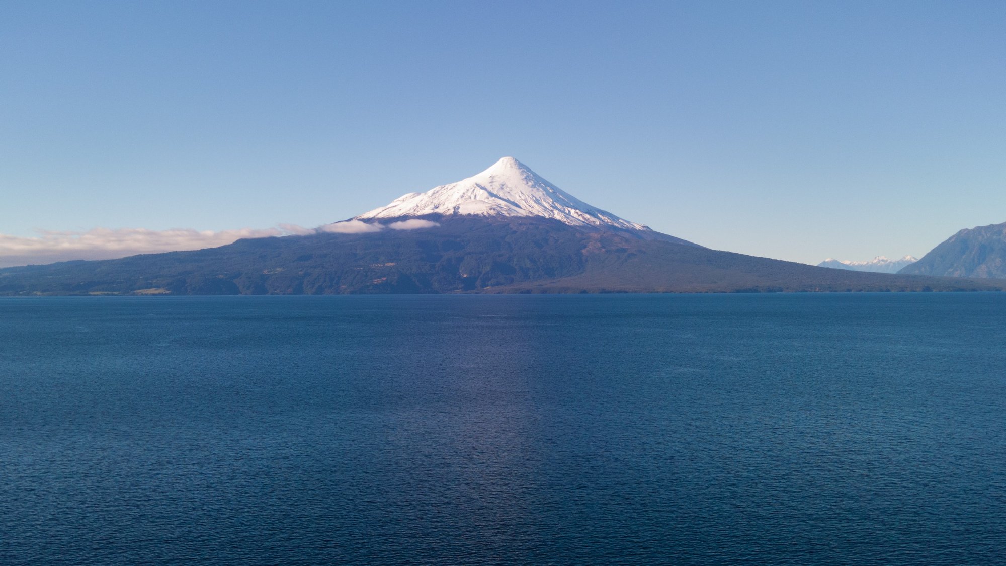
Lago Llanquihue
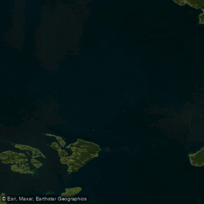
Golfo de Ancud
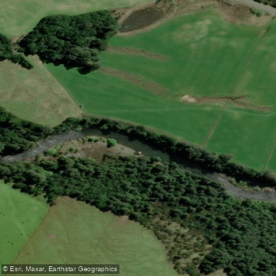
Río Chamiza
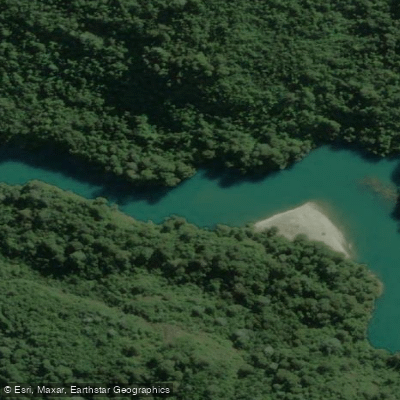
Río Puelo
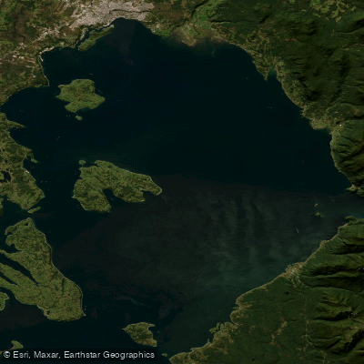
Seno de Reloncaví
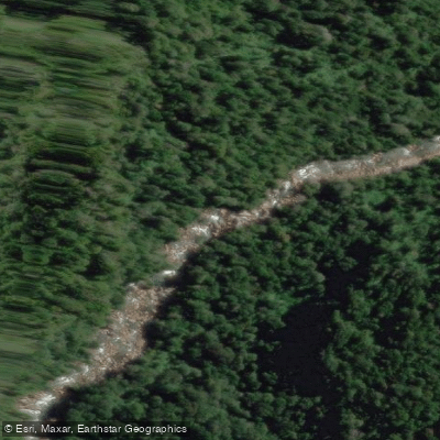
Río Cochamó
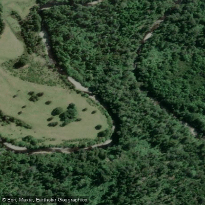
Río Negro
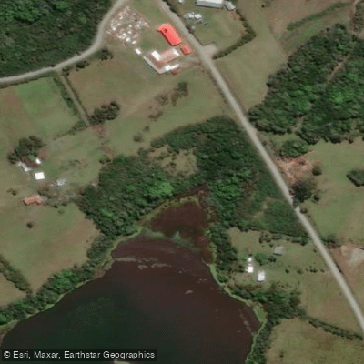
Laguna San Ramón
Explore Los Lagos waters
Top paddling waters
No waters available right now.
Popular Cities
Loading popular cities...
Explore near Río Cuchildeo
Access points
Nearby waters
More in Los Lagos

Smarter Paddling Starts in the App.
Paddleways gives you everything you need to plan smarter, paddle better, and own every trip from first launch to takeout.