Lago Panguipulli
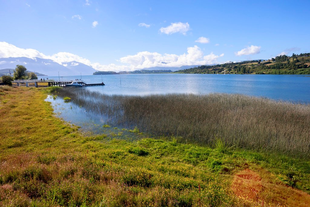
Lago Panguipulli
- Boat Ramps
- 0
- Access Points
- 0
- Campsites
- 1
Lago Panguipulli is one of seven lakes within the Panguipulli commune in the Los Ríos region of Chile, a designation that gives the area its local name, "Sietelagos." The lake sits in the Andean foothills with views of the Mocho Choshuenco and Villarrica volcanoes, and is surrounded by exuberant native vegetation. The town of Panguipulli lies to the west, while the village of Choshuenco is situated along the northern shore.
The lake is a recognized paddling destination, suitable for kayak touring and traverses. Local operators including Wechuntu (based in Choshuenco) and Kayak Pucura (based in Pucura) offer guided experiences on the water. Paddling is possible year-round, though spring and summer months are generally preferred, particularly for those combining lake paddling with river runs on nearby waterways. Safety guidelines for the lake include always wearing a personal flotation device, staying within approximately 200 meters of the shoreline, and avoiding late departures — the suggested cutoff is around 7:30 p.m. Weather conditions should be checked before heading out.
Lago Panguipulli serves as the receiving basin for the Rio Fuy, which drains into the lake from the northeast after running approximately 15 kilometers from Lago Neltume. The Rio Enco exits the lake at Choshuenco on the southern shore, flowing westward toward Lago Riñihue. Access to the Rio Enco put-in is reached by traveling on a gravel road around the north side of the lake to Choshuenco, then continuing south to where the river exits the lake. This makes the lake a logical staging point for paddlers combining a lake crossing with river sections at either end.
The water is described as crystal clear, consistent with the glacially influenced hydrology of the broader lake district. The surrounding landscape includes hot springs, waterfalls, and the Mocho Choshuenco National Reserve. The area receives rainfall throughout the year, with temperatures that moderate between day and night, particularly in the interior. Paddlers planning multi-day itineraries in the region often use the lake as a transit corridor between the Rio Fuy to the east and the Rio San Pedro or Rio Enco to the west.
Water access, boat ramps & amenities
Learn how to get on Lago Panguipulli. Uncover great paddling access points, boat ramps, and all the facilities you need for an unforgettable day on the water. Some locations shown may border or include private property. Always check property boundaries and applicable regulations before visiting. PaddleWays's Public & Private Land layer can help you plan your access with confidence.
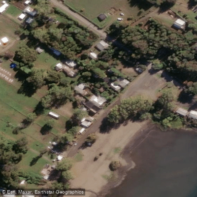
Paddle smarter with real-time insights
Whether you're en route and conditions shift or you're looking for the best spot based on current flows, we enable you to make informed decisions on the fly.







Los Ríos licenses and regulations
No licenses or regulations available for Los Ríos.
Find Places to Paddle

Over 400,000 Places to Paddle
Every user gets free access to launch points, boat ramps, and public property parcels.


Water and weather conditions (10 day forecast)
See the best times to paddle Lago Panguipulli and check the forecast before you go.
No forecast data available.
Paddling near Lago Panguipulli
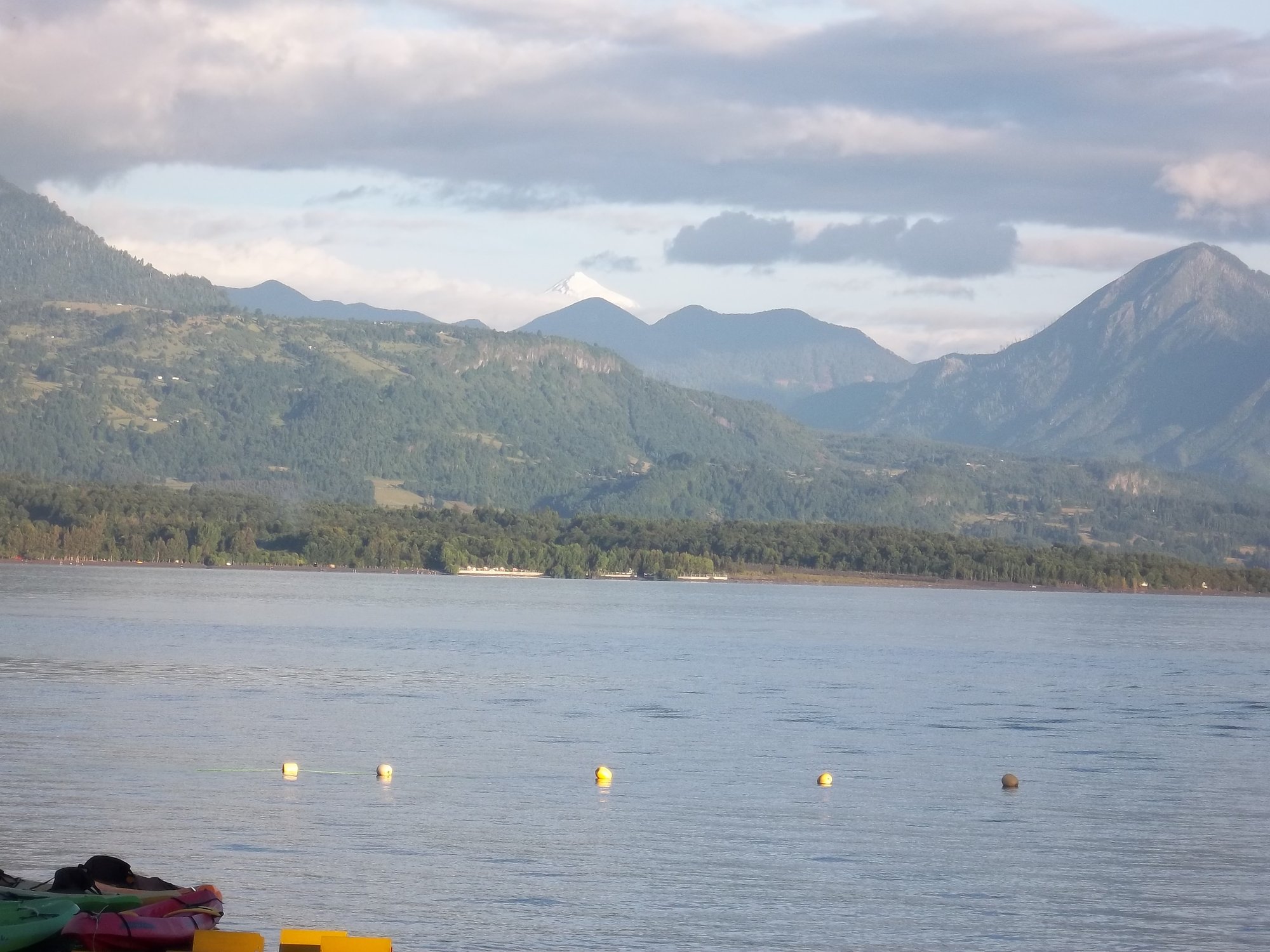
Lago Calafquén
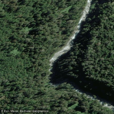
Río Fuy
Río Llancahue
Lago Villarrica

Río Toltén

Río Calle Calle
Lago Ranco
Lago Pirihueico
Río San Pedro
Explore Los Ríos waters
Top paddling waters
No waters available right now.
Popular Cities
Loading popular cities...
Explore near Lago Panguipulli
Access points
Nearby waters
More in Los Ríos

Smarter Paddling Starts in the App.
Paddleways gives you everything you need to plan smarter, paddle better, and own every trip from first launch to takeout.