Rio Cachapoal
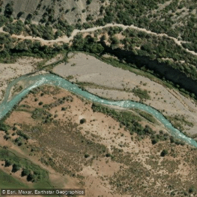
Rio Cachapoal
- Boat Ramps
- 0
- Access Points
- 0
- Campsites
- 0
The Rio Cachapoal flows through the O'Higgins Region of Chile, draining a basin of approximately 6,370 square kilometers before emptying into Rapel Lake. The river is 250 km long and carries an average discharge of 92.3 cubic meters per second. The lower section, which is the primary whitewater run, covers 8.5 km at class 3+/4- difficulty with an average gradient of 14 meters per kilometer (75 feet per mile).
For the lower run, the put-in is located at 880 meters elevation, approximately 3 km below Central Sauzal, reached by driving east from Rancagua 22 km on the paved Carretera el Cobre to Coya, then continuing 12 km upstream on the north side of the river. The take-out is a few kilometers below the Pangal-Cachapoal confluence at Central Sauzal, elevation 660 meters, an ENDESA hydroelectric facility in Coya; an obscure road in the center of town provides dam access. Paddlers should not put in at Central Pangal due to construction debris and a lethal low-head concrete bridge located 3 km downstream.
The run is navigable in spring, summer, and fall, with a minimum recommended flow of 1,500 CFS. None of the rapids are particularly severe, and all can be scouted from eddies without leaving the boat. The most significant hazard is a collapsed bridge on river left approximately 1 km upstream from the take-out. The river's character is notably affected by multiple dams, diversions, and mining activity in the valley, which diminishes the overall experience relative to other Chilean rivers. A collapsed bridge and industrial infrastructure are recurring features of the corridor.
At the lower end of the river near Pichidegua, where the Cachapoal meets the Tinguiririca and Rapel Lake begins to form, guided recreational kayak and SUP tours operate out of the Sector San José de Marchihue area, covering approximately 5 km of flatwater through wetland habitat. These tours are offered at a recreational difficulty level and include equipment, certified guides, and basic facilities such as parking, restrooms, and a picnic area.
The Cachapoal valley holds historical significance as the southern boundary of the Inca empire, which was unable to expand further south due to Mapuche resistance.
Water access, boat ramps & amenities
Learn how to get on Rio Cachapoal. Uncover great paddling access points, boat ramps, and all the facilities you need for an unforgettable day on the water. Some locations shown may border or include private property. Always check property boundaries and applicable regulations before visiting. PaddleWays's Public & Private Land layer can help you plan your access with confidence.
Paddle smarter with real-time insights
Whether you're en route and conditions shift or you're looking for the best spot based on current flows, we enable you to make informed decisions on the fly.







O'higgins licenses and regulations
No licenses or regulations available for O'higgins.
Find Places to Paddle

Over 400,000 Places to Paddle
Every user gets free access to launch points, boat ramps, and public property parcels.


Water and weather conditions (10 day forecast)
See the best times to paddle Rio Cachapoal and check the forecast before you go.
Rio Las Leñas Ante Junta Rio Cachapoal
All Flow Stations
Paddling near Rio Cachapoal
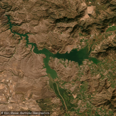
Lago Rapel
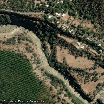
Rio Maipo
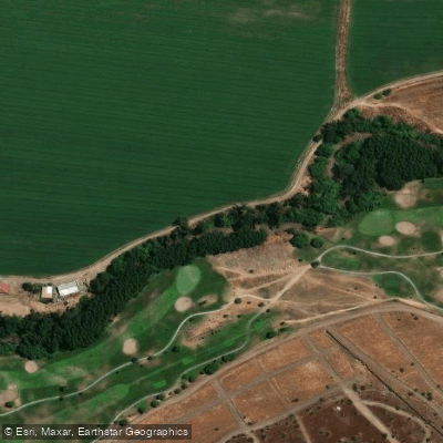
Rio Mapocho
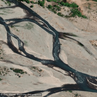
Río Teno
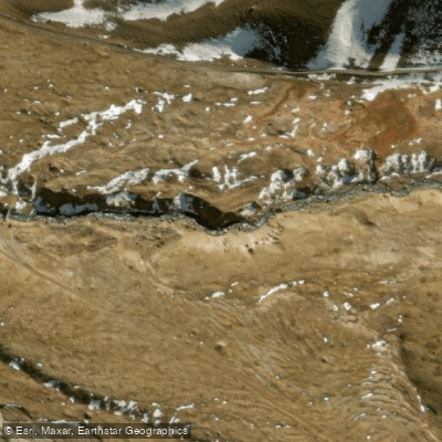
Rio Yeso
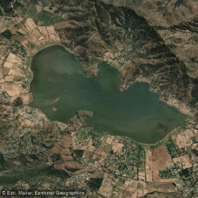
Laguna de Aculeo
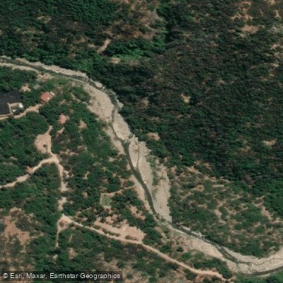
Rio Clarillo
Rio Cortaderal
Rio Clarillo
Explore O'higgins waters
Top paddling waters
No waters available right now.
Popular Cities
Loading popular cities...
Explore near Rio Cachapoal

Smarter Paddling Starts in the App.
Paddleways gives you everything you need to plan smarter, paddle better, and own every trip from first launch to takeout.