Paddling in Torres del Paine National Park
- National Park
- Lakes
- 44
- Rivers
- 12
- Access
- 3
- Boat Ramps
- 0
- Shops
- 0
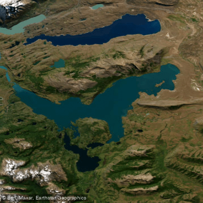
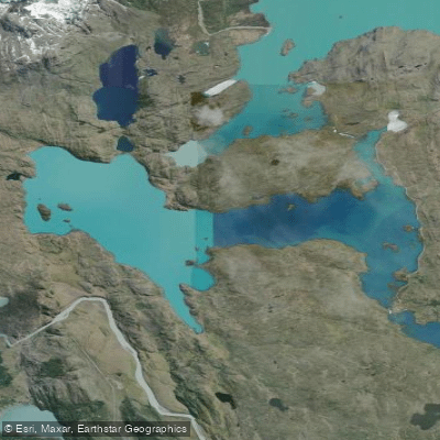
Torres del Paine holds a concentration of glacial lakes, rivers, and lagoons fed by the Southern Patagonian Ice Field — water that is cold, wind-exposed, and shaped by ice.
The park sits in the far south of Chilean Patagonia, where the Paine Massif rises abruptly from the steppe, and the paddling reflects that geography: big open lakes prone to sudden squalls, a glacier-fed river that drains the system southward, and icebergs that drift into your path without warning.
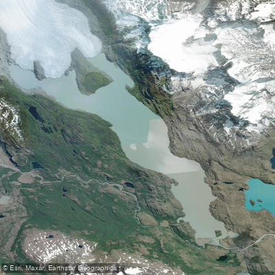
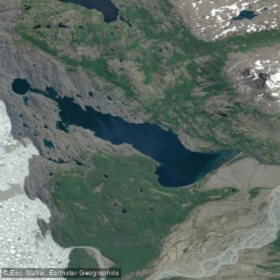
Lago Grey is the park's signature paddle. The lake sits directly below Glaciar Grey, and kayaking here means threading through floating ice with the glacier face close enough to read its blue striations.
Guided kayak excursions run from Grey Beach, roughly a ten-minute walk from Refugio Grey, with departures in the morning and afternoon.
Weather governs everything — trips are modified or cancelled when wind or lake conditions make it unsafe, which in Patagonia is not a rare event.
Reaching the Grey sector requires either an overnight stay at the refugio or campsite, or arriving by lake navigation. Río Serrano is the other anchor of the paddling here.
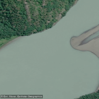
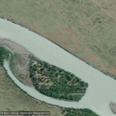
Its headwaters lie inside the park, and the river runs south through the park boundary into Bernardo O'Higgins before joining Seno Última Esperanza at Puerto Toro.
Multi-day kayak trips descend the Serrano with camping along the river, finishing near Glaciar Balmaceda. The river also draws fly anglers for brown trout, rainbow trout, and Chinook salmon.
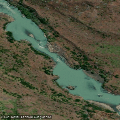
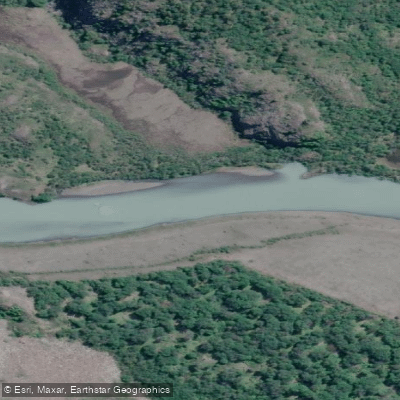
One documented route begins in the Río Pingo sector and descends the Río Grey approximately 16 kilometers to Puente Grey before continuing.
Lago Pehoé sits in the center of the park with direct sight lines to the Cuernos and the Paine Massif — a different angle on the range than any trail provides. Lago del Toro is the park's largest lake, sprawling across the southern sector.
Sailing and guided kayak activities operate seasonally inside the park. Every visitor requires a valid park entrance ticket; check with CONAF for current access and activity rules before launching on any water.
The wind here is not background noise — it is a primary condition. Patagonian gusts can pin you to a shore for hours or turn a calm lake crossing dangerous inside minutes. Paddlers who treat the forecast as optional tend to learn that lesson once.
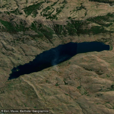
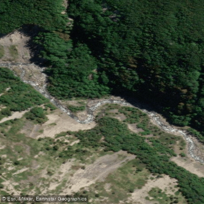
Top waters to paddle near Torres Del Paine National Park
Water and weather conditions (10 day forecast)
See the best times to paddle Torres del Paine National Park and check the forecast before you go.
No forecast data available.
Paddle smarter with real-time insights
Whether you're en route and conditions shift or you're looking for the best spot based on current flows, we enable you to make informed decisions on the fly.







Paddling near Torres del Paine National Park
Loading...
Gateway towns
Where to base yourself for paddling in Torres del Paine National Park.
- Puerto NatalesMagallanes
Main gateway town with buses, hostels, hotels, outfitters, and gear shops serving most park visitors.
- Punta ArenasMagallanes
Regional hub with the main international airport; many visitors fly in here before traveling on to the park.
Explore Torres del Paine National Park
Top paddling waters
Popular Cities
Loading popular cities...

Smarter Paddling Starts in the App.
Paddleways gives you everything you need to plan smarter, paddle better, and own every trip from first launch to takeout.