Dorset / Hampshire
- Saltwater
- Bay
Dorset / Hampshire
- Saltwater
- Bay
- Sq. miles
- 198
- Boat Ramps
- 1
- Access Points
- 0
- Campsites
- 2
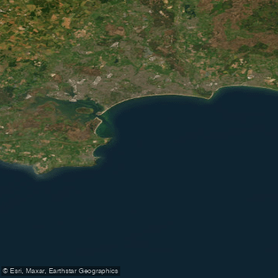
The Dorset and Hampshire coastline is a significant saltwater paddling area on the south coast of England, encompassing open sea, large harbours, and tidal rivers. The coastline is dominated by the open waters of the English Channel and the sheltered expanse of Poole Harbour, which is noted for its shallow, sheltered waters ideal for beginners. Key launch and access points for paddlers include the areas around Studland, Poole Harbour, Christchurch, Lymington, and the Hamble River. The coastline is exposed to the prevailing south-westerly winds, creating significant fetch across the English Channel. This can generate challenging sea conditions, as evidenced by a rescue incident where a kayaker was blown offshore near Old Harry Rocks, emphasizing the risk of being caught in strong winds and becoming separated from your craft. Tidal currents are a primary consideration, with paddlers planning trips around favourable tide times on the region's tidal rivers and harbours. The area experiences substantial commercial and recreational boat traffic, particularly around major ports like Southampton and Portsmouth, and within the busy Solent waterway. Paddlers must be prepared for crossings of shipping channels and aware of ferry routes. The coastline offers a mix of environments, from the dramatic Jurassic coastline with features like Old Harry Rocks to the urban waterfronts of historic harbour cities. Water temperatures are cold in winter, necessitating appropriate gear such as drysuits. The presence of active container ports and ferry terminals suggests paddlers should be mindful of water cleanliness in industrialised areas. Facilities for paddlers exist, including sailing schools and watersports centres offering tuition and equipment, particularly around Poole and Lymington. The overall character for paddlers is varied, offering everything from peaceful river and harbour explorations to demanding open-water journeys along a historic and scenically diverse coast.
Water access, boat ramps & amenities
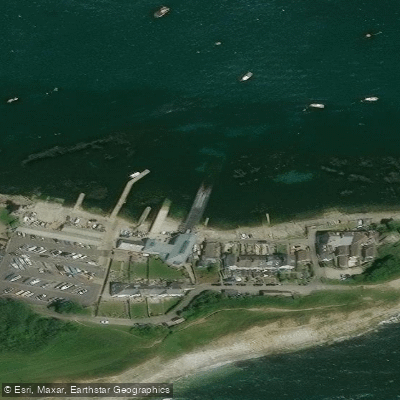
Learn how to get on Dorset / Hampshire. Uncover great paddling access points, boat ramps, and all the facilities you need for an unforgettable day on the water. Some locations shown may border or include private property. Always check property boundaries and applicable regulations before visiting. PaddleWays's Public & Private Land layer can help you plan your access with confidence.
Paddle smarter with real-time insights
Whether you're en route and conditions shift or you're looking for the best spot based on current flows, we enable you to make informed decisions on the fly.








Find Places to Paddle

Over 400,000 Places to Paddle
Every user gets free access to launch points, boat ramps, and public property parcels.


Tides, wind & water conditions (10 day forecast)
On open water, wind and tide matter as much as the weather. See the best times to paddle Dorset / Hampshire and check the marine forecast before you launch.
Loading tide predictions…
Paddling near Dorset / Hampshire
River Frome
River Avon
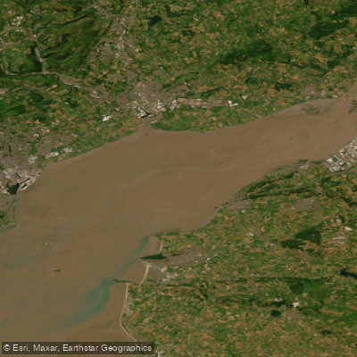
Severn Lower
Land Yeo
River Chew

Bristol Channel
Afon Gwy
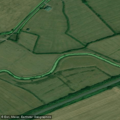
Congresbury Yeo
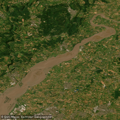
SEVERN MIDDLE
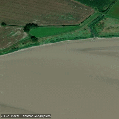
Afon Hafren
Explore England waters
Top paddling waters
No waters available right now.
Popular Cities
Loading popular cities...
Explore near Dorset / Hampshire

Smarter Paddling Starts in the App.
Paddleways gives you everything you need to plan smarter, paddle better, and own every trip from first launch to takeout.