River Ribble
River Ribble
- Boat Ramps
- 0
- Access Points
- 1
- Campsites
- 9
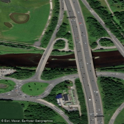
The River Ribble flows through North Yorkshire and Lancashire in Northern England, running approximately 75 miles (121 kilometres) from its source near Selside in Ribblesdale to its estuary on the Irish Sea at Lytham. The river begins close to Ribblehead Viaduct and flows generally southwestward, passing through Settle, Clitheroe, Ribchester, and Preston before reaching the coast between Lytham St. Annes and Southport. It is the only major river rising in Yorkshire that flows westward, and its name is well enough established in the region to lend itself to parliamentary constituencies and government boroughs.
The paddling character of the Ribble varies considerably along its length, with grades ranging from 1 to 5. The section from Helwith Bridge to Settle is the most technically demanding and changeable stretch, with water levels capable of ranging from Grade 3 up to Grade 5+ in high water conditions. Paddlers should treat this section with particular caution and assess conditions carefully before committing. The remainder of the river is generally Grade 2–3, making it accessible to intermediate paddlers under typical conditions. The river's tributaries include the Hodder and Calder, which join within a mile of each other near Whalley in Lancashire, the Darwen joining at Walton-le-Dale, and the Douglas joining near Hesketh Bank.
One noted access point for paddling is near Waddington, close to Waddow Hall, which has been identified by local paddlers as a worthwhile spot on the river. Paddlers in England should be aware that a British Canoeing membership includes a waterways licence covering approximately 4,500 kilometres of waterways, along with public liability insurance, which is relevant for those planning trips on the Ribble.
Water access, boat ramps & amenities
Learn how to get on River Ribble. Uncover great paddling access points, boat ramps, and all the facilities you need for an unforgettable day on the water. Some locations shown may border or include private property. Always check property boundaries and applicable regulations before visiting. PaddleWays's Public & Private Land layer can help you plan your access with confidence.
Paddle smarter with real-time insights
Whether you're en route and conditions shift or you're looking for the best spot based on current flows, we enable you to make informed decisions on the fly.








Find Places to Paddle

Over 400,000 Places to Paddle
Every user gets free access to launch points, boat ramps, and public property parcels.


Water and weather conditions (10 day forecast)
See the best times to paddle River Ribble and check the forecast before you go.
New Jumbles Rock
All Flow Stations
Paddling near River Ribble
River Mersey
River Douglas

MERSEY
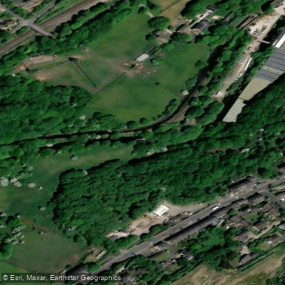
River Colne
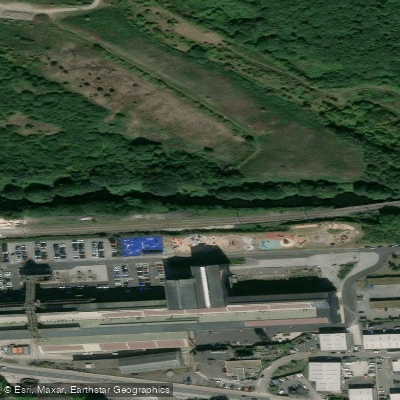
River Don
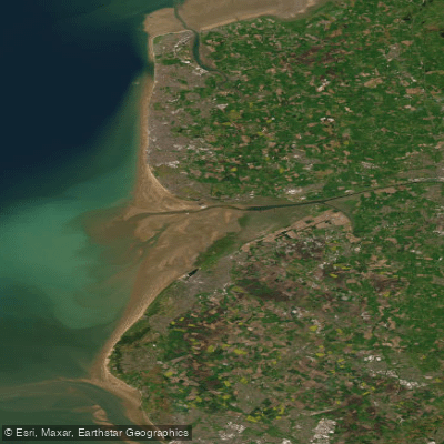
RIBBLE
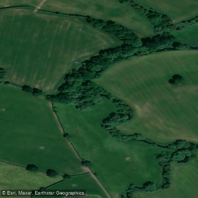
River Weaver
River Wye
Mersey Mouth
River Ashop
Explore England waters
Top paddling waters
No waters available right now.
Popular Cities
Loading popular cities...
Explore near River Ribble
Access points
Nearby waters
More in England

Smarter Paddling Starts in the App.
Paddleways gives you everything you need to plan smarter, paddle better, and own every trip from first launch to takeout.