River Douglas
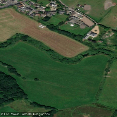
River Douglas
- Boat Ramps
- 1
- Access Points
- 0
- Campsites
- 0
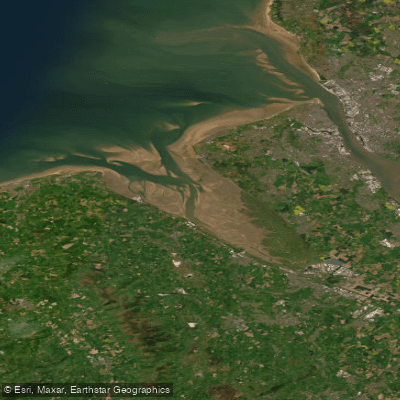
The River Douglas flows through Lancashire and Greater Manchester in North West England, draining into the River Ribble. Its major tributaries include the River Tawd and the River Yarrow. The river is generally considered an easy paddle, with local paddlers tentatively rating it around Grade 1, though this should be verified before planning a trip.
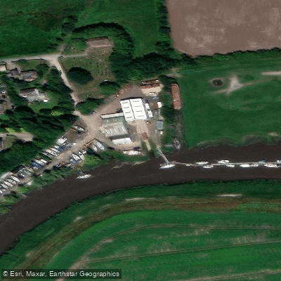
The most commonly described paddling use of the river involves a round trip in combination with the Leeds and Liverpool Canal. The Rufford Branch of that canal connects to the river at Tarleton, allowing paddlers to travel outward on the canal and return via the river, or vice versa. This section near Tarleton and Hesketh Bank forms the navigable lower reach of the river, where a boatyard at Hesketh Bank and another facility at Tarleton serve the leisure boating market. Paddlers should be aware that this stretch is used by leisure boats, including sailing vessels that are kept in the tidal section of the river.
The lower river is tidal, and the Ribble Estuary into which it drains has an extremely high tidal range — up to 26 feet (8 metres) between low and high tide in the outer estuary, though this reduces further upriver. Paddlers venturing into or near the tidal section should plan carefully around tidal conditions. The estuary itself faces into the prevailing wind and features shifting channels, adding to the navigational complexity near the river's mouth.
The river has a long history as a commercial waterway. The Douglas Navigation Act of 1720 authorized works to make the river navigable between Wigan and the Ribble, and remnants of several locks from that era remain visible between Parbold and Gathurst, offering points of historical interest along the route.
Water access, boat ramps & amenities
Learn how to get on River Douglas. Uncover great paddling access points, boat ramps, and all the facilities you need for an unforgettable day on the water. Some locations shown may border or include private property. Always check property boundaries and applicable regulations before visiting. PaddleWays's Public & Private Land layer can help you plan your access with confidence.
Paddle smarter with real-time insights
Whether you're en route and conditions shift or you're looking for the best spot based on current flows, we enable you to make informed decisions on the fly.








Find Places to Paddle

Over 400,000 Places to Paddle
Every user gets free access to launch points, boat ramps, and public property parcels.


Water and weather conditions (10 day forecast)
See the best times to paddle River Douglas and check the forecast before you go.
Appley Bridge
All Flow Stations
Paddling near River Douglas
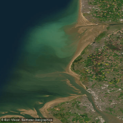

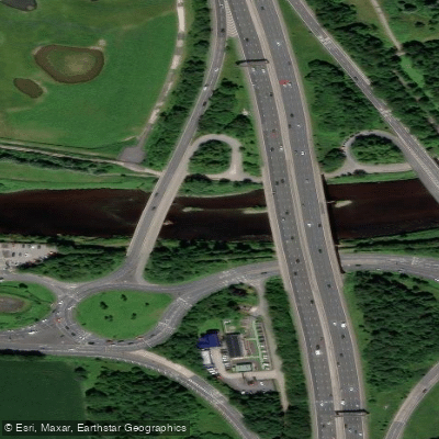
Explore England waters
Top paddling waters
No waters available right now.
Popular Cities
Loading popular cities...
Explore near River Douglas
Access points
Nearby waters
More in England

Smarter Paddling Starts in the App.
Paddleways gives you everything you need to plan smarter, paddle better, and own every trip from first launch to takeout.