River Avon
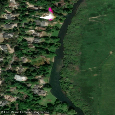
River Avon
- Boat Ramps
- 0
- Access Points
- 1
- Campsites
- 3
The River Avon in the UK refers to several distinct waterways, with the Warwickshire Avon (also called Shakespeare's Avon) being one of the most popular for paddling. Approximately 85 miles long and a major tributary of the River Severn, it flows through Stratford-upon-Avon, Bidford-on-Avon, Evesham, and Pershore. The Bristol Avon, a separate river, rises in South Gloucestershire, flows through Wiltshire to Bath and the Severn Estuary, and covers roughly 75 miles of navigable length despite being only 13 miles from source to mouth.
All paddlecraft on the Warwickshire Avon require a valid licence to navigate. Short-term licences start from £6 and are available online or at Avon Navigation Trust toll stations. Alternatively, British Canoeing membership covers the river and is recognised by the ANT. On the Bristol Avon, British Canoeing membership covers the section from Hanham Lock to Thimble Mill in Bath; downstream of Hanham Lock toward Bristol is managed by Bristol City Council and requires a separate day ticket purchased from the Bristol Harbour Office, costing approximately £7.
The Warwickshire Avon has 17 locks requiring portaging, with some offering signed portage points and others requiring use of moorings. The ANT is actively working with British Canoeing to improve portage access and develop recognised paddle trails. Permitted craft include kayaks, canoes, paddleboards, and rowboats; inflatable toys and homemade rafts are not permitted. Mooring charges apply at locations including Tewkesbury and Stratford-upon-Avon.
A well-documented route runs from Stratford-upon-Avon to Bidford-on-Avon, covering approximately 10.2 miles (16.4 km) and taking 3 to 4 hours. The start point is Fisherman's Car Park (CV37 0NP) in Stratford, with a shuttle vehicle left at Bidford. Another popular section runs from Bidford-on-Avon to Evesham, covering 8 miles and passing through Marcliff, Harvington, and Offenham locks and weirs.
Near Fladbury and Pershore in Worcestershire, an 8.5 km (5-mile) trip starts from Mill Bank car park near Cropthorne, which has height restrictions for vehicles with large roof racks. The route passes Fladbury Mill and includes weirs that can be portaged or run at suitable water levels; inspection from the bank before committing is strongly advised. Wildlife along the Warwickshire Avon includes ducks, geese, and swans.
On the Hampshire Avon (Salisbury to Christchurch), the right of navigation has not been accepted by angling interests and landowners, making access highly restricted. Paddlers should verify access permissions carefully before attempting this river.
Water access, boat ramps & amenities
Learn how to get on River Avon. Uncover great paddling access points, boat ramps, and all the facilities you need for an unforgettable day on the water. Some locations shown may border or include private property. Always check property boundaries and applicable regulations before visiting. PaddleWays's Public & Private Land layer can help you plan your access with confidence.
Paddle smarter with real-time insights
Whether you're en route and conditions shift or you're looking for the best spot based on current flows, we enable you to make informed decisions on the fly.








Find Places to Paddle

Over 400,000 Places to Paddle
Every user gets free access to launch points, boat ramps, and public property parcels.


Water and weather conditions (10 day forecast)
See the best times to paddle River Avon and check the forecast before you go.
Knapp Mill
All Flow Stations
Paddling near River Avon
River Frome
River Avon
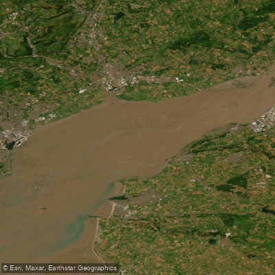
Severn Lower
Land Yeo
River Chew

Bristol Channel
Afon Gwy
Congresbury Yeo
SEVERN MIDDLE
Afon Hafren
Explore England waters
Top paddling waters
No waters available right now.
Popular Cities
Loading popular cities...
Explore near River Avon

Smarter Paddling Starts in the App.
Paddleways gives you everything you need to plan smarter, paddle better, and own every trip from first launch to takeout.