River Brue
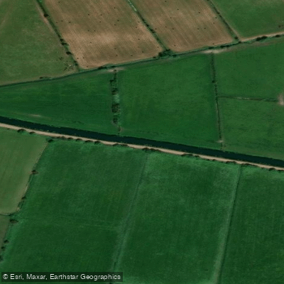
River Brue
- Boat Ramps
- 0
- Access Points
- 0
- Campsites
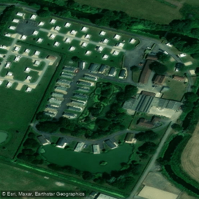
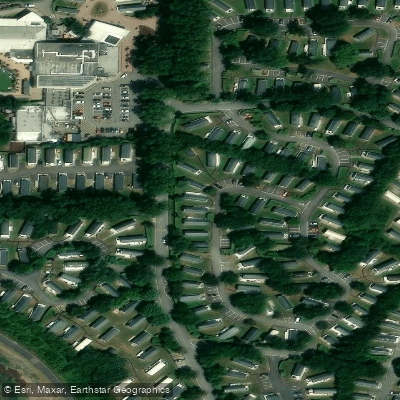
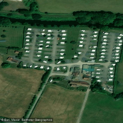
- 3
The River Brue rises in the parish of Brewham, Somerset, and flows approximately 31 miles westward before reaching the sea at Burnham-on-Sea. For much of its course it passes through the Somerset Levels, moving through a broad, flat-bottomed valley and eventually running in a largely artificial channel before joining the River Parrett at its mouth. By the time the river reaches Baltonsborough it sits only around 30 feet above sea level, and the surrounding countryside drains into it via numerous rhynes. The river passes Glastonbury, where it forms a natural boundary with the nearby village of Street, and Glastonbury Tor is often visible from the water.
The flow is slow throughout, making the Brue well suited to beginners and those seeking a relaxed flatwater experience. The character of the paddling is calm and unhurried, with reed-lined banks, open meadows, and farmland framing much of the route. Launch points exist near Glastonbury and Bruton, and there is a noted put-in layby on the Hereford road near a railway bridge, with access over a gate and approximately 200 metres to the water. Highbridge, in the A38/Burnham Road area, is another access point, and SUP hire is available nearby through Wall Eden Farm/Wall Eden Adventure, which offers sessions paddling from Highbridge along the river.
Points of historical interest along the river include the site of Glastonbury Lake Village, described as the best-preserved prehistoric village in the UK, discovered in the late 19th century, and Bow Bridge, a 15th-century Grade I listed structure crossing the river. Several sites of scientific interest and nature reserves are also located along the corridor.
Wildlife along the Brue includes European eels, European otters, water voles, brown hares, and Eurasian harvest mice. Bird species recorded include merlin, marsh tit, hen harrier, and song thrush, as well as herons, kingfishers, swans, and dragonflies. Adders and grass snakes may also be encountered along the banks.
Paddlers should be aware that permissions may be required to paddle on some stretches of the Somerset Levels waterways. A British Canoeing (Paddle UK) membership provides a waterways licence covering many rivers in England and Wales, and consulting local access guidance before launching is advisable.
Water access, boat ramps & amenities
Learn how to get on River Brue. Uncover great paddling access points, boat ramps, and all the facilities you need for an unforgettable day on the water. Some locations shown may border or include private property. Always check property boundaries and applicable regulations before visiting. PaddleWays's Public & Private Land layer can help you plan your access with confidence.
Paddle smarter with real-time insights
Whether you're en route and conditions shift or you're looking for the best spot based on current flows, we enable you to make informed decisions on the fly.








Find Places to Paddle

Over 400,000 Places to Paddle
Every user gets free access to launch points, boat ramps, and public property parcels.


Water and weather conditions (10 day forecast)
See the best times to paddle River Brue and check the forecast before you go.
Lovington
All Flow Stations
Paddling near River Brue
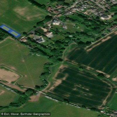
River Frome
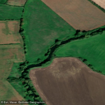
River Avon
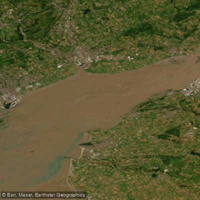
Severn Lower
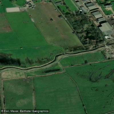
Land Yeo
River Chew

Bristol Channel
Afon Gwy
Congresbury Yeo
SEVERN MIDDLE
Afon Hafren
Explore England waters
Top paddling waters
No waters available right now.
Popular Cities
Loading popular cities...
Explore near River Brue

Smarter Paddling Starts in the App.
Paddleways gives you everything you need to plan smarter, paddle better, and own every trip from first launch to takeout.