River Camel
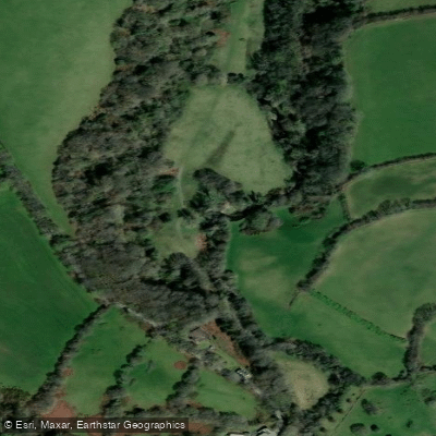
River Camel
- Boat Ramps
- 0
- Access Points
- 0
- Campsites
- 1
The River Camel rises on the edge of Bodmin Moor and flows approximately 30 miles through Cornwall, England, before reaching the sea between Stepper Point and Pentire Point. Its Cornish name, Dowr Kammel, translates as "crooked river," a fitting description of its winding course. The river is tidal upstream as far as Egloshayle, and the lower estuary section between Padstow and Wadebridge forms the primary paddling area for most visitors.
There is a dedicated canoe and kayak access point just above the bridge at Wadebridge. Further upstream, the stretch between Tuckingmill and Penrose offers grade 2 rapids and is particularly favoured by paddlers seeking moving water. On the estuary, launching from the small beach at Dennis Cove on the eastern edge of Padstow provides access to the calmer inland paddle toward Little Petherick Creek. The Co-op car park in Wadebridge sits at the riverside and serves as a practical staging point, while Padstow harbour's station car park involves a drop down to the water. Rock, on the east side of the estuary, is another commonly used launch site, though a £3 launching fee has been reported at the slipway there.
The estuary is tidal, so trip planning around tidal windows is essential to ensure adequate water depth, particularly in the upper reaches and side creeks. Once a month, during peak spring tides, it is possible to paddle all the way up Little Petherick Creek. The Padstow end of the estuary sees significant boat traffic and strict maritime rules apply; this section is recommended for experienced paddlers only. Muddy banks throughout much of the estuary limit exit points, with access to the adjacent Camel Trail generally restricted to a few sandy beaches.
The middle and upper estuary sections are notably sheltered, with surrounding rolling hills reducing wind exposure. Wildlife along the river includes otters, kingfishers, herons, egrets, and migratory shorebirds such as whimbrel. The estuary bottom is sandy and shallow in places, giving the water a notably clear appearance in good light. The Camel Trail, a popular cycling and walking route linking Padstow, Wadebridge, and Bodmin, runs alongside much of the river and provides a useful escape route in some sections. Spring tides in South West England typically occur around 6am and 6pm, which can influence early-morning paddling conditions on the upper tidal reaches.
Water access, boat ramps & amenities
Learn how to get on River Camel. Uncover great paddling access points, boat ramps, and all the facilities you need for an unforgettable day on the water. Some locations shown may border or include private property. Always check property boundaries and applicable regulations before visiting. PaddleWays's Public & Private Land layer can help you plan your access with confidence.
Paddle smarter with real-time insights
Whether you're en route and conditions shift or you're looking for the best spot based on current flows, we enable you to make informed decisions on the fly.








Find Places to Paddle

Over 400,000 Places to Paddle
Every user gets free access to launch points, boat ramps, and public property parcels.


Water and weather conditions (10 day forecast)
See the best times to paddle River Camel and check the forecast before you go.
Denby
All Flow Stations
Paddling near River Camel
Afon Tawe
Afon Tywi

Bristol Channel
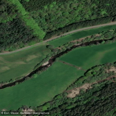
Afon Cothi
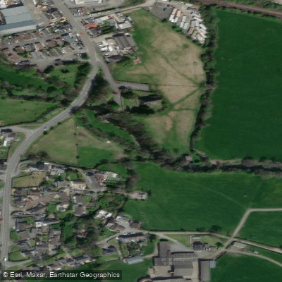
River Taf
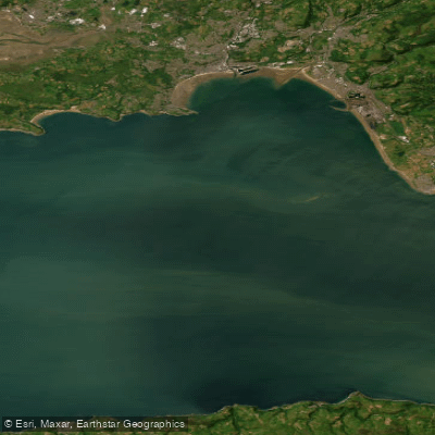
Bristol Channel Outer North
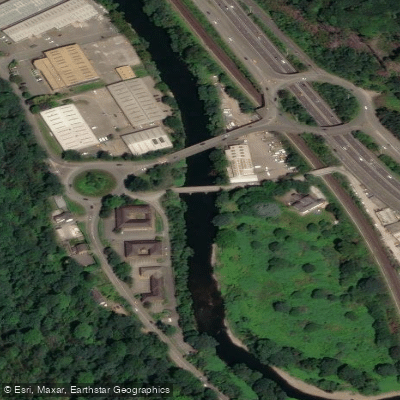
River Taff
Afon Teifi
Swansea Bay
River Barle
Explore England waters
Top paddling waters
No waters available right now.
Popular Cities
Loading popular cities...
Explore near River Camel
Access points
Nearby waters
More in England

Smarter Paddling Starts in the App.
Paddleways gives you everything you need to plan smarter, paddle better, and own every trip from first launch to takeout.