River Parrett
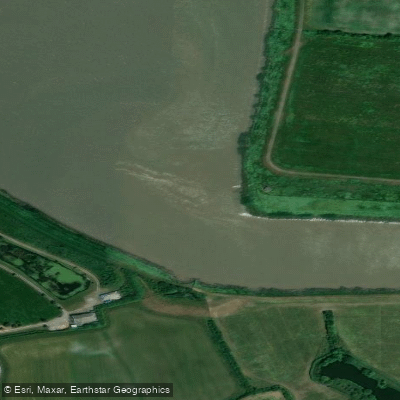
River Parrett
- Boat Ramps
- 0
- Access Points
- 1
- Campsites
- 2
The River Parrett is a river in the South West of England, rising in the hills around Chedington in Dorset before flowing north-west through Somerset. It passes through Langport and Bridgwater, continuing to Burnham-on-Sea where it enters Bridgwater Bay Nature Reserve and flows into the Bristol Channel. The river covers approximately 37 miles in total, and the non-tidal navigable section around Langport offers around 7.6 miles of water to explore, including connections with 1 mile of the River Yeo and 0.1 mile of the River Isle.
The river divides broadly into non-tidal and tidal sections, each with different access considerations. For the non-tidal section, the primary launch point is the slipway at Huish Bridge (Langport, TA10 9QP), which is a public slipway that anyone may use free of charge and is suitable for trailable narrowboats and other craft. Floating pontoons and canoe steps at the Cocklemoor riverside area in Langport provide additional easy access for kayaks, paddleboards, and swimmers. For the tidal section, paddlers are advised to contact Combwich Boat Club for assistance with tide times before launching. No paddling licence is required on the River Parrett.
The stretch between Langport and Bridgwater is prone to frequent flooding in winter and at high tide, making it essential to check tide timetables and river levels before paddling this section. The river also has a tidal bore, occurring approximately one hour and forty minutes before high tide. At least one weir exists on the river near Oath, where paddlers should approach from the right side and portage via a small ramp. The section between Westport and Langport can only be used by small craft that can be portaged around the lock and other obstructions.
Two suggested routes from Langport are commonly noted: an out-and-back paddle to Muchelney of approximately 4 miles total, passing through farmland, and a longer route to Stathe Bridge through open countryside suited to more experienced paddlers. The non-tidal section around Langport is considered suitable for beginners and families, with a gentle flow and calm water. Wildlife along the river includes swans, herons, ducks, and otters. Facilities in Langport include parking, public toilets near the Parrett Visitor Centre, and cafés and pubs within walking distance of the launch points.
Water access, boat ramps & amenities
Learn how to get on River Parrett. Uncover great paddling access points, boat ramps, and all the facilities you need for an unforgettable day on the water. Some locations shown may border or include private property. Always check property boundaries and applicable regulations before visiting. PaddleWays's Public & Private Land layer can help you plan your access with confidence.
Paddle smarter with real-time insights
Whether you're en route and conditions shift or you're looking for the best spot based on current flows, we enable you to make informed decisions on the fly.








Find Places to Paddle

Over 400,000 Places to Paddle
Every user gets free access to launch points, boat ramps, and public property parcels.


Water and weather conditions (10 day forecast)
See the best times to paddle River Parrett and check the forecast before you go.
Westonzoyland
All Flow Stations
Paddling near River Parrett
River Taff
River Axe

Bristol Channel
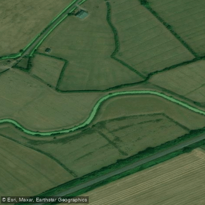
Congresbury Yeo
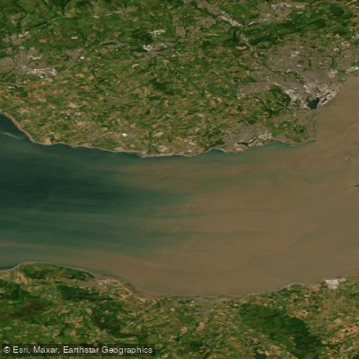
Bristol Channel Inner North
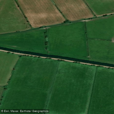
River Brue
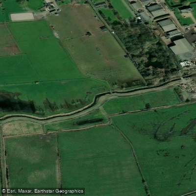
Land Yeo
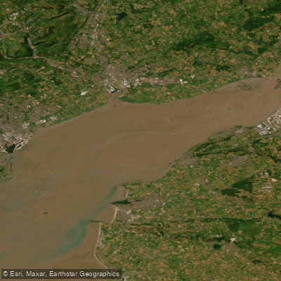
Severn Lower
River Tone
Explore England waters
Top paddling waters
No waters available right now.
Popular Cities
Loading popular cities...
Explore near River Parrett

Smarter Paddling Starts in the App.
Paddleways gives you everything you need to plan smarter, paddle better, and own every trip from first launch to takeout.