River Tone
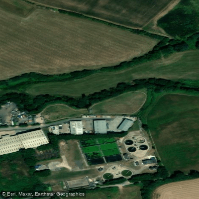
River Tone
- Boat Ramps
- 4
- Access Points
- 0
- Campsites
- 1
The River Tone is a Somerset river approximately 33 kilometres (21 miles) long, rising at Beverton Pond near Huish Champflower in the Brendon Hills and passing through Clatworthy Reservoir before flowing through Taunton and across Curry and Hay Moors — a designated Site of Special Scientific Interest — before joining the River Parrett at Burrowbridge.
The navigable character of the river varies considerably by section. Moving upstream from the confluence with the Parrett at Stanmoor, there is a tidal stretch as far as Newbridge Sluice. Beyond Newbridge, the river is navigable until near the M5 motorway, and slipways are available along this stretch, though permission must be obtained from the Environment Agency before using them. The section from the M5 through to Taunton is not currently navigable due to flood prevention works carried out in the 1960s. Within Taunton itself, an 0.8-mile section retains a statutory right of navigation. Above French Weir Park in Taunton, paddling is generally considered prohibited, and the current becomes stronger with significant tree obstructions.
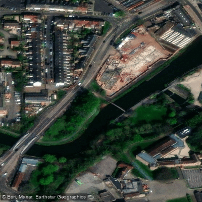
A popular route combines the Bridgwater and Taunton Canal with the River Tone. At Firepool, where the canal meets the river, paddlers should keep right to avoid the weir. Access at this junction can be awkward — steps are available but sit high above the water, and the sloping retaining wall of the lock offers a more manageable alternative. Several landing places exist through Taunton, with French Weir Park providing toilets and open space.
No paddling licence is required on the River Tone. The river was historically significant for trade and milling, and remnants of this industrial past — old mills, mill villages, stone bridges, and aqueducts — are visible along the banks.
Wildlife is a notable feature of the river corridor. The Tone is a recognised fishing spot for chub, carp, roach, and pike. The surrounding fields and moors are particularly rich in winter, when seasonal flooding attracts wading birds such as snipe, lapwing, and golden plover, as well as raptors including short-eared owls, merlin, and peregrine falcons.
Water access, boat ramps & amenities
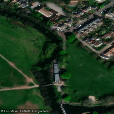
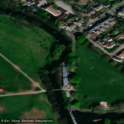
Learn how to get on River Tone. Uncover great paddling access points, boat ramps, and all the facilities you need for an unforgettable day on the water. Some locations shown may border or include private property. Always check property boundaries and applicable regulations before visiting. PaddleWays's Public & Private Land layer can help you plan your access with confidence.
Paddle smarter with real-time insights
Whether you're en route and conditions shift or you're looking for the best spot based on current flows, we enable you to make informed decisions on the fly.








Find Places to Paddle

Over 400,000 Places to Paddle
Every user gets free access to launch points, boat ramps, and public property parcels.


Water and weather conditions (10 day forecast)
See the best times to paddle River Tone and check the forecast before you go.
Greenham
All Flow Stations
Paddling near River Tone
River Taff
River Axe

Bristol Channel
River Parrett
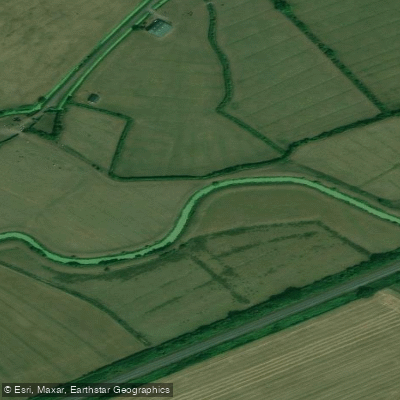
Congresbury Yeo
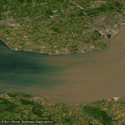
Bristol Channel Inner North
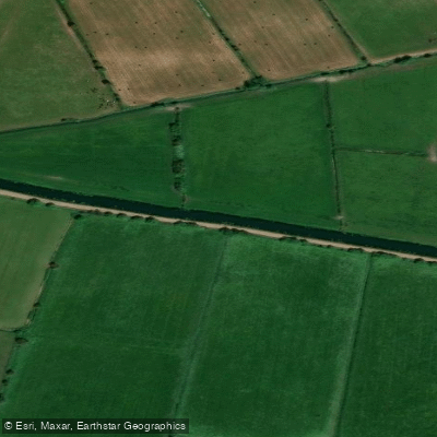
River Brue
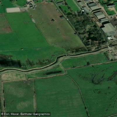
Land Yeo
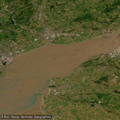
Severn Lower
Explore England waters
Top paddling waters
No waters available right now.
Popular Cities
Loading popular cities...
Explore near River Tone

Smarter Paddling Starts in the App.
Paddleways gives you everything you need to plan smarter, paddle better, and own every trip from first launch to takeout.