SOUTHAMPTON WATER
- Saltwater
- Estuary
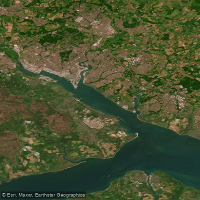
SOUTHAMPTON WATER
- Saltwater
- Estuary
- Sq. miles
- 12
- Boat Ramps
- 0
- Access Points
- 1
- Campsites
- 0
Southampton Water is a large tidal estuary stretching northwest from the Solent into the heart of Hampshire, serving as a major commercial port and cruise terminal. The paddling environment is characterized by significant tidal flows, exposure to wind, and substantial boat traffic, including ferries, yachts, motorboats, and large commercial vessels. For these reasons, it is generally recommended for paddlers with some experience who understand tidal planning, and recreational users are advised to stick to the sheltered edges and river sections rather than venturing into the open main channel. The estuary receives three rivers—the Test, the Itchen, and the Hamble—whose tidal reaches are accessible by kayak and provide more sheltered alternatives.
Key access points and routes for paddlers include launches from the western shore, specifically the area from Hythe Pier to Eling, which can provide an interesting paddle on a high tide. A notable day trip is the route from Eling Creek, home to Britain's only working tide mill, to Redbridge, where the Test enters Southampton Water. This journey passes under a series of historic road and rail bridges at the estuary's narrowest point. Paddling across the main body of Southampton Water to Ashlett Creek is another possibility. Tidal planning is critical; with correct timing, paddlers can achieve a tide-assisted journey in both directions, but the strong currents must be respected. The water is deep and the fetch can be long, making wind conditions a major factor. There are managed watersports areas, such as the Southampton Water Activity Centre, which utilizes the environment for leadership training due to its range of sheltered water, tidal considerations, and wind-affected zones.
The area holds considerable historical significance, notably as the departure point for the RMS Titanic. The overall vibe is industrial and maritime, dominated by port activity, but with accessible pockets of natural interest and history along its fringes.
Water access, boat ramps & amenities
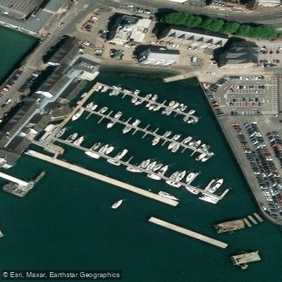
Learn how to get on SOUTHAMPTON WATER. Uncover great paddling access points, boat ramps, and all the facilities you need for an unforgettable day on the water. Some locations shown may border or include private property. Always check property boundaries and applicable regulations before visiting. PaddleWays's Public & Private Land layer can help you plan your access with confidence.
Paddle smarter with real-time insights
Whether you're en route and conditions shift or you're looking for the best spot based on current flows, we enable you to make informed decisions on the fly.








Find Places to Paddle

Over 400,000 Places to Paddle
Every user gets free access to launch points, boat ramps, and public property parcels.


Tides, wind & water conditions (10 day forecast)
On open water, wind and tide matter as much as the weather. See the best times to paddle SOUTHAMPTON WATER and check the marine forecast before you launch.
Loading tide predictions…
Paddling near SOUTHAMPTON WATER
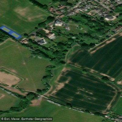
River Frome
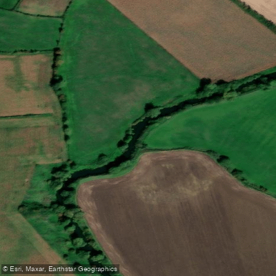
River Avon
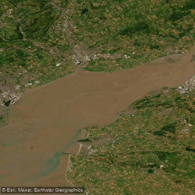
Severn Lower
Land Yeo
River Chew

Bristol Channel
Afon Gwy
Congresbury Yeo
SEVERN MIDDLE
Afon Hafren
Explore England waters
Top paddling waters
No waters available right now.
Popular Cities
Loading popular cities...
Explore near SOUTHAMPTON WATER
Access points
Nearby waters
More in England

Smarter Paddling Starts in the App.
Paddleways gives you everything you need to plan smarter, paddle better, and own every trip from first launch to takeout.