Tremadog Bay
- Saltwater
- Bay
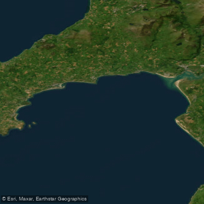
Tremadog Bay
- Saltwater
- Bay
- Sq. miles
- 92
- Boat Ramps
- 0
- Access Points
- 0
- Campsites
- 0
Tremadog Bay is a large, open coastal bay in Gwynedd, North Wales, noted for its scenic backdrop of the Snowdonia mountains and the Rhinogydd range. The bay's waters are generally calmer and more gently shelving compared to the adjacent, more exposed Cardigan Bay coastline. The area is characterized by long, sandy beaches, such as Morfa Bychan, which connects to Criccieth beach at low tide. Paddlers can launch directly into the bay from locations like Porthmadog Harbour, where a public slipway on Pen y Banc provides access to the tidal mouth of the Afon Glaslyn. Other notable beach access points for paddlers include Llandanwg Beach on the bay's southern side and Abersoch on the Llyn Peninsula, which offers a leeward position with views across the bay. The bay is a saltwater environment with significant tidal influence, and paddlers must be aware of the tidal causeway accessing locations like Shell Island. Weather conditions dramatically affect the paddling experience; it can range from an endurance test in wind and waves to a calm, Mediterranean-like paddle. The bay sees considerable boat traffic, especially in summer, with sailing dinghies, powerboats, and jet skis congregating around popular areas like Abersoch, requiring vigilance from paddlers. Wildlife sightings of dolphins, seals, and jellyfish are common. The water temperature is influenced by the Gulf Stream, with the warmest seawater typically occurring in August and September. The coast is part of the Snowdonia National Park and features historic sites like Criccieth Castle overlooking the bay. Facilities are seasonal, with watersport equipment rentals and lessons available at main hubs during the warmer months.
Water access, boat ramps & amenities
Learn how to get on Tremadog Bay. Uncover great paddling access points, boat ramps, and all the facilities you need for an unforgettable day on the water. Some locations shown may border or include private property. Always check property boundaries and applicable regulations before visiting. PaddleWays's Public & Private Land layer can help you plan your access with confidence.
Paddle smarter with real-time insights
Whether you're en route and conditions shift or you're looking for the best spot based on current flows, we enable you to make informed decisions on the fly.








Find Places to Paddle

Over 400,000 Places to Paddle
Every user gets free access to launch points, boat ramps, and public property parcels.


Tides, wind & water conditions (10 day forecast)
On open water, wind and tide matter as much as the weather. See the best times to paddle Tremadog Bay and check the marine forecast before you launch.
Loading tide predictions…
Paddling near Tremadog Bay
River Dee
River Mersey
Dee (N. Wales)
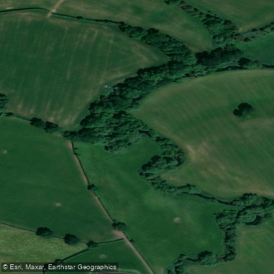
River Weaver
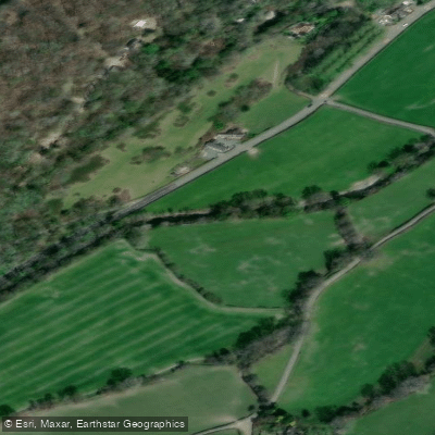
Afon Ceiriog
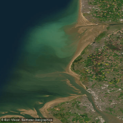
Mersey Mouth
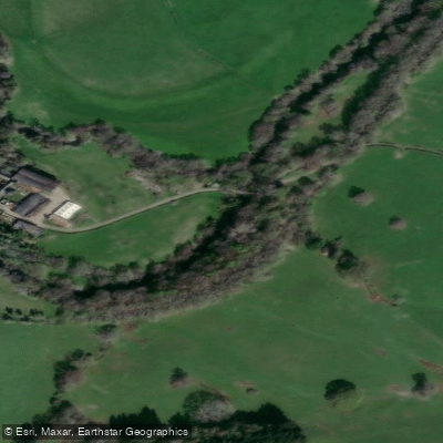
Afon Tanat
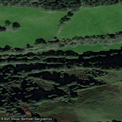
Afon Efyrnwy

MERSEY
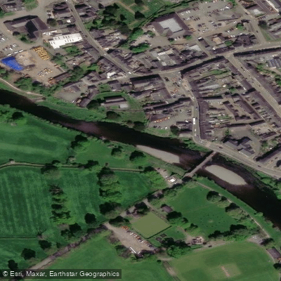
Afon Conwy
Explore England waters
Top paddling waters
No waters available right now.
Popular Cities
Loading popular cities...
Explore near Tremadog Bay

Smarter Paddling Starts in the App.
Paddleways gives you everything you need to plan smarter, paddle better, and own every trip from first launch to takeout.