Blackwater
Blackwater
- Boat Ramps
- 0
- Access Points
- 0
- Campsites
- 0
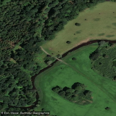
The River Blackwater in Northern Ireland forms the basis of a 23-kilometre canoe trail that flows from southwest to northeast before emptying into Lough Neagh. The trail is one of the most popular canoe routes in Northern Ireland, largely because it accommodates a wide range of paddling abilities. Access to the water is free and no licence is required.
The river's character varies considerably depending on which section is paddled. Downstream of Blackwatertown the water is slow-moving, making it well suited to beginners and families. The upper section between Maydown Bridge and Blackwatertown is more demanding: after periods of rainfall it can run at Grade 2, while prolonged dry weather can reduce it to a shallow, unnavigable channel. Numerous overhanging branches are present throughout this upper stretch, and it is not recommended for novice paddlers without qualified instruction.
Several access points allow paddlers to tailor the trip to their ability and available time. Common put-ins include Moy, Maydown Bridge, and Blackwatertown, with take-outs at Verner's Bridge, Bond's Bridge, and Coney Island on Lough Neagh. Suggested itineraries range from a 7-kilometre half-day run between Moy and Verner's Bridge to a 24-kilometre two-day journey from Maydown Bridge to Coney Island. An overnight stay at Copney Campsite makes a two-day traverse of the full trail practical. Paddling speed is estimated at around 4 kilometres per hour, and itineraries are planned to include time for breaks.
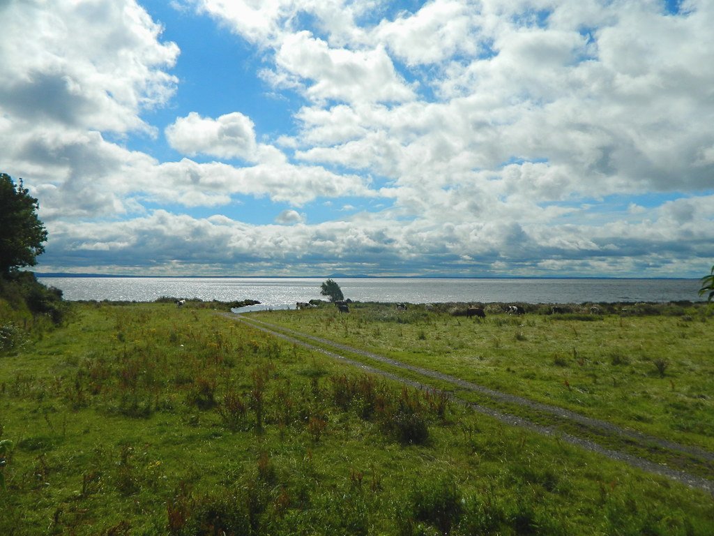
At the downstream end, the trail connects to the Lough Neagh Canoe Trail and subsequently the Lower Bann Canoe Trail to the northeast. Coney Island, located roughly 1.1 kilometres from Maghery Country Park in the southwest corner of Lough Neagh, features a motte and an ancient round tower; wild camping is permitted on the island. Shuttles are generally required for the trail, and most canoe hire providers in the area offer a shuttle service. Interpretive signage at nine marked points along the route provides information about the surrounding landscape and history.
Water access, boat ramps & amenities
Learn how to get on Blackwater. Uncover great paddling access points, boat ramps, and all the facilities you need for an unforgettable day on the water. Some locations shown may border or include private property. Always check property boundaries and applicable regulations before visiting. PaddleWays's Public & Private Land layer can help you plan your access with confidence.
Paddle smarter with real-time insights
Whether you're en route and conditions shift or you're looking for the best spot based on current flows, we enable you to make informed decisions on the fly.







Northern Ireland licenses and regulations

Find Places to Paddle

Over 400,000 Places to Paddle
Every user gets free access to launch points, boat ramps, and public property parcels.


Water and weather conditions (10 day forecast)
See the best times to paddle Blackwater and check the forecast before you go.
Blackwater At Maydown Bridge
All Flow Stations
Paddling near Blackwater
Upper Bann
Lough Neagh
Belfast Lough
Lagan
Lower Bann
Strangford Lough
Cusher River
North Channel
Upper Lough Erne
Explore Northern Ireland waters
Top paddling waters
No waters available right now.
Popular Cities
Loading popular cities...
Explore near Blackwater
Nearby waters
More in Northern Ireland

Smarter Paddling Starts in the App.
Paddleways gives you everything you need to plan smarter, paddle better, and own every trip from first launch to takeout.