Lower Bann
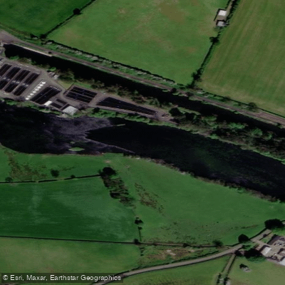
Lower Bann
- Boat Ramps
- 0
- Access Points
- 4
- Campsites
- 1
The Lower Bann flows approximately 38 miles (60 km) from Lough Neagh at Toome, County Antrim, northward through Counties Antrim and Londonderry to the Atlantic Ocean at the Barmouth near Castlerock. The river drops roughly 12.5 metres over this journey and is a navigable, canalised waterway managed by Waterways Ireland. The full canoe trail can be paddled in two long days but is more comfortably completed in three.
The character of the trail varies considerably along its length. Much of the route consists of Grade 1 flat water, passing through quiet farmland, wooded banks, and wetland scenery. Notable exceptions include Grade 2-3 moving water below The Cutts near Coleraine, and Grade 1 moving water at certain other points. A 14-mile flat water section from Toome to Hutchinson's Quay is available for paddlers wishing to avoid weirs entirely. The river is tidal in its lower reaches near Coleraine, and sea-going vessels use the stretch between the Atlantic Ocean and Coleraine docks, requiring paddlers to be alert to commercial traffic.
There are 5 weirs and 3 sluice gates on the river, all of which can be extremely dangerous. At all times, however, it is possible to paddle safely into the navigation channels to bypass these hazards, and they are clearly indicated on the official Lower Bann Canoe Trail Guide. At Portna specifically, paddlers must enter the canal on the west bank to avoid the flood gates, which are described as extremely dangerous. Care is also required when passing under the road bridge at Coleraine.
Water skiers and anglers share several sections of the river, and paddlers should be aware of fast motorboats and coarse angling competition stands at certain access points. The river is also used by anglers targeting salmon, which can be seen leaping at The Cutts during their upstream migration to spawn.
Access points are numerous along the route, with slipways, jetties, and canoe steps provided at regular intervals. The Newferry to Portglenone section, approximately 6 km, is considered suitable for paddlers of all abilities. Wildlife along the route includes salmon, various water birds in the wetland areas around Lough Beg, bluebells in Portglenone Forest (April to June), Orange Tip and Peacock butterflies, and Common Spotted Orchid. The area around Lough Beg is designated as a Nature Reserve and Special Site of Scientific Interest for migratory and breeding wildfowl.
Water access, boat ramps & amenities
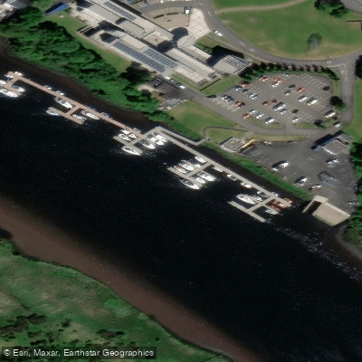
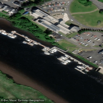
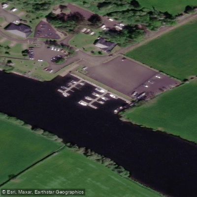
Learn how to get on Lower Bann. Uncover great paddling access points, boat ramps, and all the facilities you need for an unforgettable day on the water. Some locations shown may border or include private property. Always check property boundaries and applicable regulations before visiting. PaddleWays's Public & Private Land layer can help you plan your access with confidence.
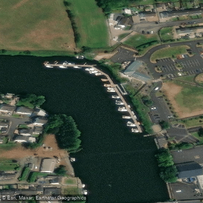
Paddle smarter with real-time insights
Whether you're en route and conditions shift or you're looking for the best spot based on current flows, we enable you to make informed decisions on the fly.







Northern Ireland licenses and regulations

Find Places to Paddle

Over 400,000 Places to Paddle
Every user gets free access to launch points, boat ramps, and public property parcels.


Water and weather conditions (10 day forecast)
See the best times to paddle Lower Bann and check the forecast before you go.
Lower Bann At Movanagher
All Flow Stations
Paddling near Lower Bann
Foyle
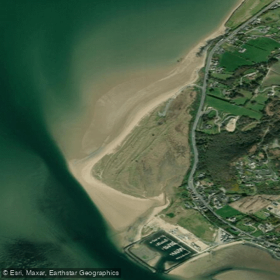
Lisfannon Beach
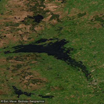
Lower Lough Erne (Whole)
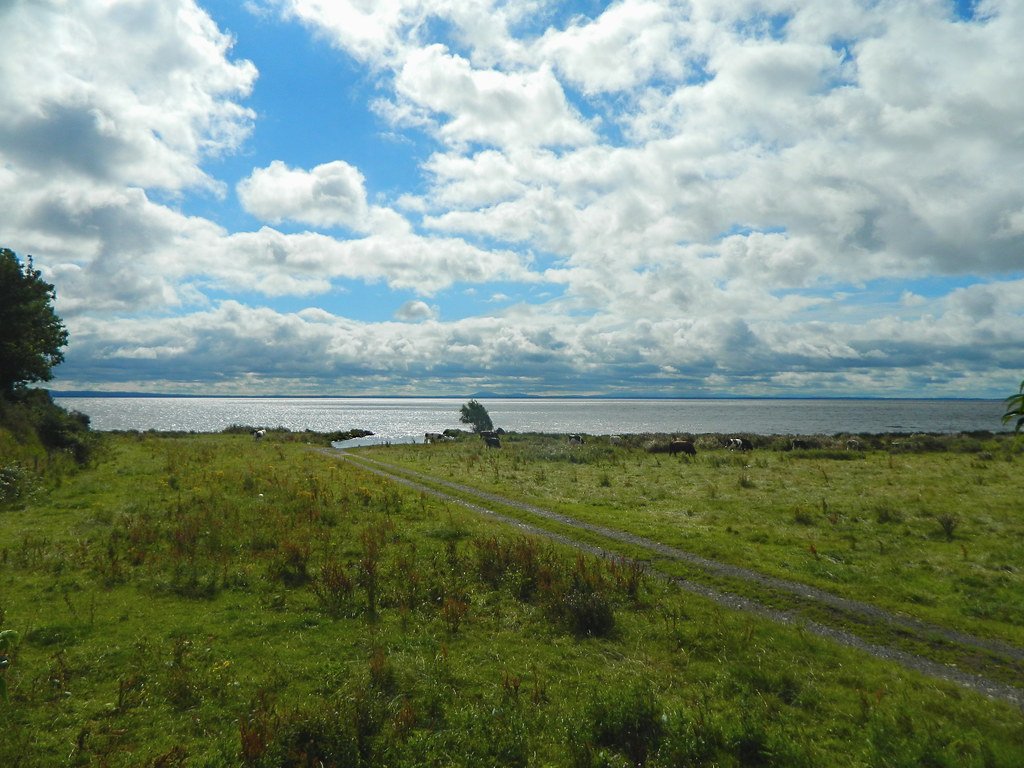
Lough Neagh
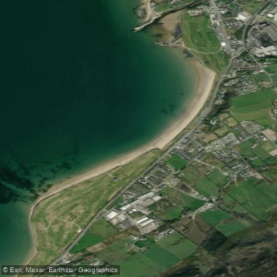
Buncrana Beach
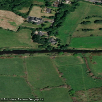
Upper Bann
Erne
Back Bay
Owenkillew
Explore Northern Ireland waters
Top paddling waters
No waters available right now.
Popular Cities
Loading popular cities...
Explore near Lower Bann

Smarter Paddling Starts in the App.
Paddleways gives you everything you need to plan smarter, paddle better, and own every trip from first launch to takeout.