North Channel
- Saltwater
- Channel
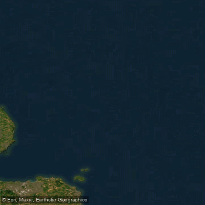
North Channel
- Saltwater
- Channel
- Sq. miles
- 1,253
- Boat Ramps
- 0
- Access Points
- 0
- Campsites
- 0
The North Channel is a significant and exposed coastal channel connecting the Irish Sea to the Atlantic Ocean, forming part of the maritime border between Dumfries and Galloway, Scotland, and Northern Ireland. It is a major shipping route with deep water, including the Beaufort's Dyke trench which reaches depths of up to 300 metres. For paddlers, this is an extremely challenging and advanced open-water crossing, not a sheltered recreational route. The primary access points on the Scottish side are the harbours at Portpatrick and Stranraer on Loch Ryan. Portpatrick Harbour is noted for its narrow, rocky entrance that should not be attempted in bad weather and can be quite shallow at low water. Stranraer offers a more sheltered position. The channel is known for experiencing rough seas, and conditions can change rapidly. Significant hazards include strong tidal streams, particularly noted near the entrance to Belfast Lough, and frequent commercial ship traffic. Wind exposure is high, with fetch across the Irish Sea and Atlantic contributing to wave state. The typical crossing distance for record attempts, as defined by the Irish Long Distance Swimming Association, is 18.6 nautical miles (approximately 35 kilometres) between points like Portpatrick and Donaghadee in Northern Ireland. Successful crossings by stand-up and prone paddleboard demonstrate it is navigable by human-powered craft, but these are undertaken by highly trained athletes with pilot boat support, emphasizing the serious nature of the endeavour. The water is cold year-round, and the presence of historical submerged munitions in Beaufort's Dyke is a noted background hazard. The aesthetic is that of an open oceanic channel, with views of the Rhins of Galloway peninsula and, on a clear day, the Northern Irish coast.
Water access, boat ramps & amenities
Learn how to get on North Channel. Uncover great paddling access points, boat ramps, and all the facilities you need for an unforgettable day on the water. Some locations shown may border or include private property. Always check property boundaries and applicable regulations before visiting. PaddleWays's Public & Private Land layer can help you plan your access with confidence.
Paddle smarter with real-time insights
Whether you're en route and conditions shift or you're looking for the best spot based on current flows, we enable you to make informed decisions on the fly.







Northern Ireland licenses and regulations

Find Places to Paddle

Over 400,000 Places to Paddle
Every user gets free access to launch points, boat ramps, and public property parcels.


Tides, wind & water conditions (10 day forecast)
On open water, wind and tide matter as much as the weather. See the best times to paddle North Channel and check the marine forecast before you launch.
Loading tide predictions…
Paddling near North Channel
Lagan
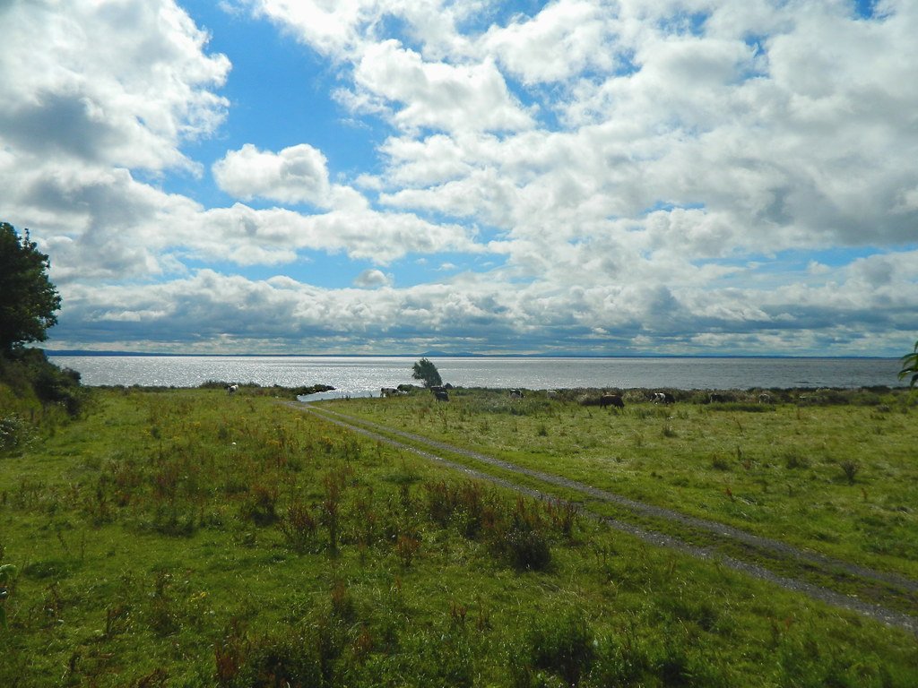
Lough Neagh
Upper Bann
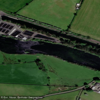
Lower Bann
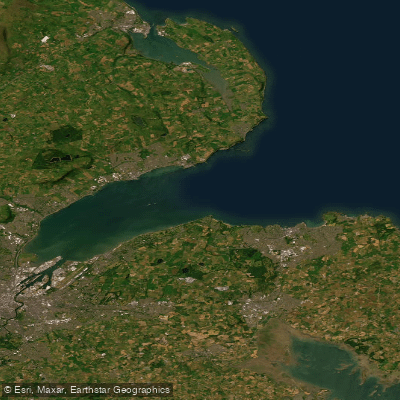
Belfast Lough
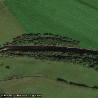
River Stinchar
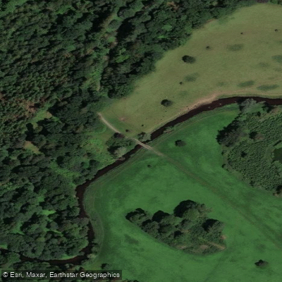
Blackwater
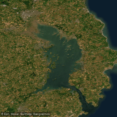
Strangford Lough
Ballynahinch River
Explore Northern Ireland waters
Top paddling waters
No waters available right now.
Popular Cities
Loading popular cities...
Explore near North Channel
Nearby waters
More in Northern Ireland

Smarter Paddling Starts in the App.
Paddleways gives you everything you need to plan smarter, paddle better, and own every trip from first launch to takeout.