Upper Lough Erne
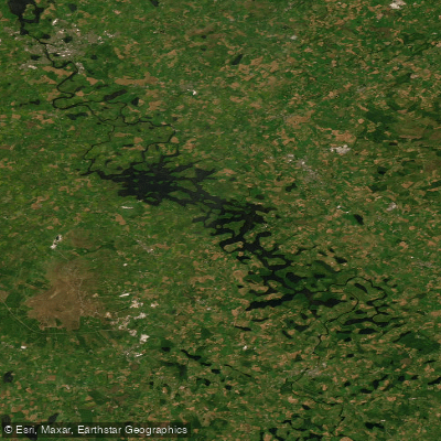
Upper Lough Erne
- Boat Ramps
- 0
- Access Points
- 3
- Campsites
- 1
Upper Lough Erne is the smaller, southern of the two connected lakes that make up the Lough Erne system in County Fermanagh, Northern Ireland. It measures approximately 12 miles (19 km) in length with a surface area of around 13.3 square miles (34 km²) and an average depth of just 7.5 feet (2.3 m). The lough is characterized by a maze of bays, narrow channels of slow-moving water, and innumerable islands and peninsulas, making it a distinctly sheltered and intricate waterway compared to its larger northern counterpart.
Access to the water is free and no licence is required for paddling. The Erne System flows from south to north — from Upper Lough Erne toward Lower Lough Erne — though the current on the lough sections is negligible, meaning wind direction is a far more significant factor than flow when planning a route. A small current does run along the River Erne section through Enniskillen, and upstream paddling is generally possible for most of the year.
The shallow, island-studded character of Upper Lough Erne makes it well suited to paddlers of all abilities, including families and beginners. Notable destinations accessible by paddle include Crom Estate, Knockninny, Naan Island, and Trannish Island. From the southern end of the lough, paddlers can connect via the Woodford River to the Shannon–Erne Waterway, which extends approximately 63 km south to Leitrim in the Republic of Ireland. The Arney River, flowing from Lower Lough MacNean, enters the northern channels of Upper Lough Erne and offers an additional route for those on longer expeditions.
Swans and kingfishers are among the wildlife sightings on the lough. The area around Lisnaskea provides marina facilities, including a 30-berth private marina at Fermanagh Lodges with access to water, electricity, toilet and shower facilities, and car parking. Guided canoeing sessions are available locally, ranging from two-hour skills sessions to four-hour adventure tours visiting nearby islands and points of interest. Boat hire is also available in the area.
The lough connects northward through Enniskillen to Lower Lough Erne, which is considerably larger and more exposed. Paddlers should be aware that Lower Lough Erne north of Rossigh — known locally as the "broad lough" — can become very rough in strong winds and is best left to experienced paddlers or reserved for calm conditions.
Water access, boat ramps & amenities
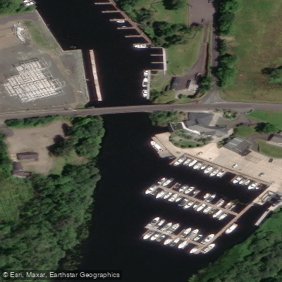
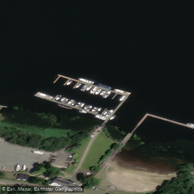
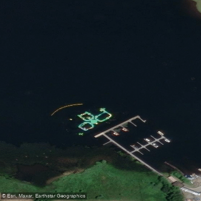
Learn how to get on Upper Lough Erne. Uncover great paddling access points, boat ramps, and all the facilities you need for an unforgettable day on the water. Some locations shown may border or include private property. Always check property boundaries and applicable regulations before visiting. PaddleWays's Public & Private Land layer can help you plan your access with confidence.
Paddle smarter with real-time insights
Whether you're en route and conditions shift or you're looking for the best spot based on current flows, we enable you to make informed decisions on the fly.







Northern Ireland licenses and regulations

Find Places to Paddle

Over 400,000 Places to Paddle
Every user gets free access to launch points, boat ramps, and public property parcels.


Water and weather conditions (10 day forecast)
See the best times to paddle Upper Lough Erne and check the forecast before you go.
No forecast data available.
Paddling near Upper Lough Erne
Upper Bann
Lough Neagh
Belfast Lough
Lagan
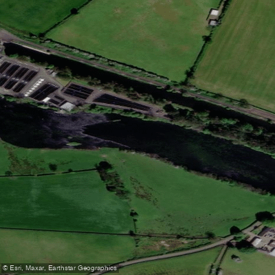
Lower Bann
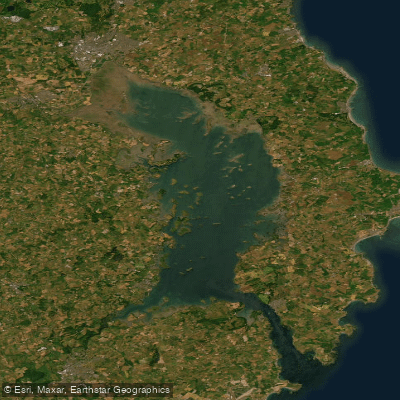
Strangford Lough
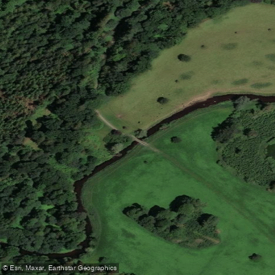
Blackwater
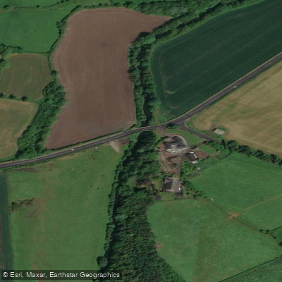
Cusher River
North Channel
Explore Northern Ireland waters
Top paddling waters
No waters available right now.
Popular Cities
Loading popular cities...
Explore near Upper Lough Erne
Access points
Nearby waters
More in Northern Ireland

Smarter Paddling Starts in the App.
Paddleways gives you everything you need to plan smarter, paddle better, and own every trip from first launch to takeout.