Upper Bann
Upper Bann
- Boat Ramps
- 0
- Access Points
- 1
- Campsites
- 0
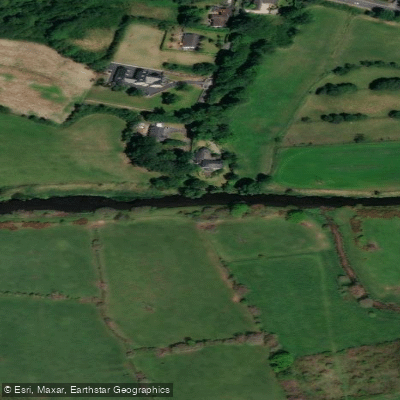
The Upper Bann flows from the Mourne Mountains of County Down northward for approximately 42 miles before emptying into Lough Neagh at Bannfoot in County Armagh. The river passes through Portadown, the closest significant town, and the most commonly paddled stretch runs approximately 16 kilometres from Point of Whitecoat to Lough Neagh. This section is a well-established recreational corridor shared between paddlers, boating enthusiasts, and bank anglers.
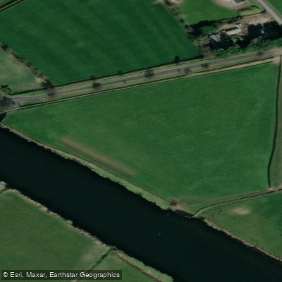
Several named access points exist along this stretch, including Hoys Meadow, Portadown Park, Boulevard, Irwins Quay, and Milk Quay, all located along the east bank downstream of Portadown. A footpath runs along the west bank from Point of Whitecoat to a boathouse, and a further path continues through Shillington's Stretch. Car parking is available at multiple points, including at Portadown Park, which is reached via Woodside Green off the A4 Dungannon road.
Paddlers should be aware that bank anglers are present throughout this stretch, and the river is actively managed as a coarse fishery. Courtesy between water users is expected. Fishing from boats is not permitted on this section, which reflects the shared-use nature of the waterway and the need for paddlers and anglers to coexist.
The river has considerable historical significance in the region. At Point of Whitecoat, the Upper Bann was historically connected to the Newry Canal, the United Kingdom's oldest canal route, constructed between 1729 and 1742. The canal linked Lough Neagh with Carlingford Lough and was used for commercial barge traffic until the late 1930s. The river corridor through Portadown was once a busy inland port serving the linen, whiskey, and coal industries of Northern Ireland.
Water access, boat ramps & amenities
Learn how to get on Upper Bann. Uncover great paddling access points, boat ramps, and all the facilities you need for an unforgettable day on the water. Some locations shown may border or include private property. Always check property boundaries and applicable regulations before visiting. PaddleWays's Public & Private Land layer can help you plan your access with confidence.
Paddle smarter with real-time insights
Whether you're en route and conditions shift or you're looking for the best spot based on current flows, we enable you to make informed decisions on the fly.







Northern Ireland licenses and regulations

Find Places to Paddle

Over 400,000 Places to Paddle
Every user gets free access to launch points, boat ramps, and public property parcels.


Water and weather conditions (10 day forecast)
See the best times to paddle Upper Bann and check the forecast before you go.
Upper Bann At Dynes Bridge
All Flow Stations
Paddling near Upper Bann
Lough Neagh
Belfast Lough
Lagan
Lower Bann
Strangford Lough
Blackwater
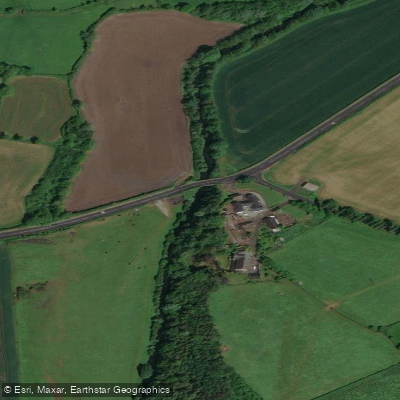
Cusher River
North Channel
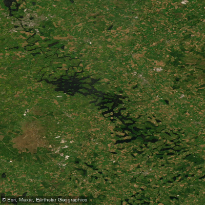
Upper Lough Erne
Explore Northern Ireland waters
Top paddling waters
No waters available right now.
Popular Cities
Loading popular cities...
Explore near Upper Bann
Access points
Nearby waters
More in Northern Ireland

Smarter Paddling Starts in the App.
Paddleways gives you everything you need to plan smarter, paddle better, and own every trip from first launch to takeout.