Lough Neagh
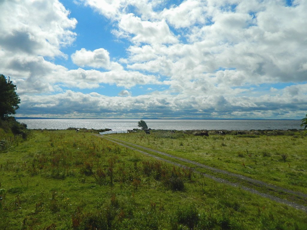
Lough Neagh
- Boat Ramps
- 0
- Access Points
- 3
- Campsites
- 2
Lough Neagh is the largest freshwater lake in the United Kingdom and Ireland, covering approximately 151–154 square miles and holding over 800 billion gallons of water. Its shoreline extends over 90 miles (150 km), offering paddlers a substantial range of bays, inlets, and open water to explore. The lough sits at the heart of Northern Ireland and connects to a broader network of waterways, including the Blackwater Trail to the south and the Lower Bann Trail to the north, making it possible to paddle from the southern part of Northern Ireland all the way to the Atlantic Ocean on the north coast. Combined, these linked trails total approximately 109.6 miles of paddling.
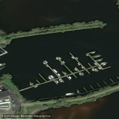
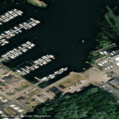
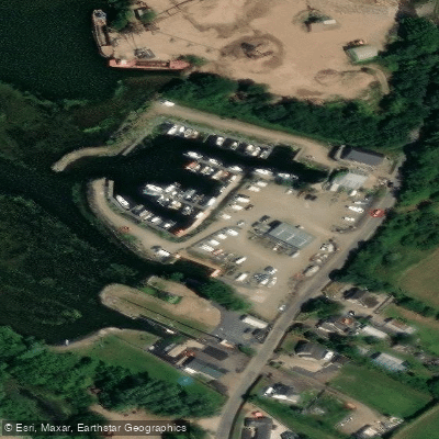
Several established access points serve paddlers around the lough. Antrim Lough Shore Park on the northern shore provides a free slipway for boats and canoes, along with onsite camping and a café open year-round. Kinnego Marina on the southern shore, the largest marina on the lough, offers 181 berths, slipway access, and launching assistance, with water depths suitable for vessels drawing less than 1.55 metres. Ballyronan Marina on the western shore holds Blue Flag status for shoreline cleanliness and serves as another base for water sports including kayaking and canoeing.
Safety considerations are significant given the lough's scale. Mobile phone reception is described as unreliable in many areas, and paddlers are advised that in an emergency, the coastguard can be reached by calling 999 or 112. The lough has its own lifeboat service, Lough Neagh Rescue, which provides coverage across the open water. Sand barges actively operate on the lough, extracting material from the lough bed and transporting it to quays on the northern and eastern shores, representing a potential hazard for paddlers on open water.
Wildlife on the lough is diverse, with the wetland habitat supporting rare species of plants, waterfowl, birds, and fish. The lough is particularly noted for its eel population, which holds Protected Designation of Origin status. Coots are a commonly observed bird. Islands including Coney Island, Rams Island, and Ardboe are accessible by water and offer points of historical and natural interest.
Water quality has been a documented concern, with reports of pollution and toxic algae affecting the lough in recent years. Paddlers should check current conditions before launching, particularly during warmer months when algal blooms are more likely.
Water access, boat ramps & amenities
Learn how to get on Lough Neagh. Uncover great paddling access points, boat ramps, and all the facilities you need for an unforgettable day on the water. Some locations shown may border or include private property. Always check property boundaries and applicable regulations before visiting. PaddleWays's Public & Private Land layer can help you plan your access with confidence.
Paddle smarter with real-time insights
Whether you're en route and conditions shift or you're looking for the best spot based on current flows, we enable you to make informed decisions on the fly.







Northern Ireland licenses and regulations

Find Places to Paddle

Over 400,000 Places to Paddle
Every user gets free access to launch points, boat ramps, and public property parcels.


Water and weather conditions (10 day forecast)
See the best times to paddle Lough Neagh and check the forecast before you go.
No forecast data available.
Paddling near Lough Neagh
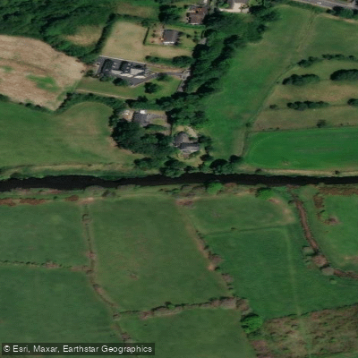
Upper Bann
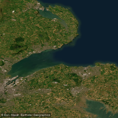
Belfast Lough
Lagan
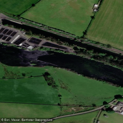
Lower Bann
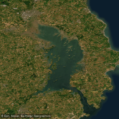
Strangford Lough
Blackwater
Cusher River
North Channel
Upper Lough Erne
Explore Northern Ireland waters
Top paddling waters
No waters available right now.
Popular Cities
Loading popular cities...
Explore near Lough Neagh

Smarter Paddling Starts in the App.
Paddleways gives you everything you need to plan smarter, paddle better, and own every trip from first launch to takeout.