Forth River
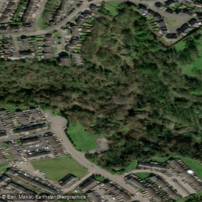
Forth River
- Boat Ramps
- 0
- Access Points
- 0
- Campsites
- 0
The River Forth is a major river in central Scotland, approximately 47 kilometres (29 miles) long, draining eastward into the North Sea via the Firth of Forth. It rises from the confluence of Duchray Water and the Avondhu River below Loch Ard, at an elevation of around 33 metres, and flows through the Central Belt past Stirling before broadening into a wide tidal estuary. The Gaelic name for the upper reach above Stirling is Abhainn Dubh, meaning "black river," while the lower tidal section is known as Uisge For.
For most of its navigable length, the river is a wide tidal estuary with ample depth. The head of navigation sits at the remains of an old weir approximately 300 metres downstream of where the M9 motorway crosses the river. Canoeists can travel roughly a further mile upstream from this point, though the river's loops mean there is no closer access to Stirling city centre from that direction. No licence is required for canoeing on the River Forth.
Stirling Council provides a free-to-use mooring pontoon on the downstream outskirts of the city, which offers straightforward water access and is a popular spot for canoeists and rowers. The town centre and a large supermarket are approximately a ten-minute walk from the pontoon. Advance booking is available through the Council's web page, or by calling 01786 404040. The river in this stretch passes through fertile farmlands and is described by paddlers as an underrated touring river, with the historic city of Stirling and its castle providing a notable backdrop.
The river is tidal throughout its lower reaches, and paddlers approaching from the connected Lowland Canals would join the tidal River Carron at the Kelpies, travel downstream to meet the Firth of Forth at Grangemouth, then proceed upstream via Kincardine and Alloa to Stirling. The tidal nature of the river is an important planning consideration for any trip on the lower sections.
The Firth of Forth, into which the river flows, offers more advanced sea kayaking opportunities, including island hopping, strong tidal streams, open water crossings, and notable landmarks such as the Forth Rail Bridge. Tidal streams in the Firth can reach significant spring rates, particularly under the Forth bridges, and paddlers should consult tidal tables referenced to HW Leith when planning trips in that area.
Water access, boat ramps & amenities
Learn how to get on Forth River. Uncover great paddling access points, boat ramps, and all the facilities you need for an unforgettable day on the water. Some locations shown may border or include private property. Always check property boundaries and applicable regulations before visiting. PaddleWays's Public & Private Land layer can help you plan your access with confidence.
Paddle smarter with real-time insights
Whether you're en route and conditions shift or you're looking for the best spot based on current flows, we enable you to make informed decisions on the fly.







Northern Ireland licenses and regulations

Find Places to Paddle

Over 400,000 Places to Paddle
Every user gets free access to launch points, boat ramps, and public property parcels.


Water and weather conditions (10 day forecast)
See the best times to paddle Forth River and check the forecast before you go.
No forecast data available.
Paddling near Forth River
Lagan
Lough Neagh
Belfast Lough
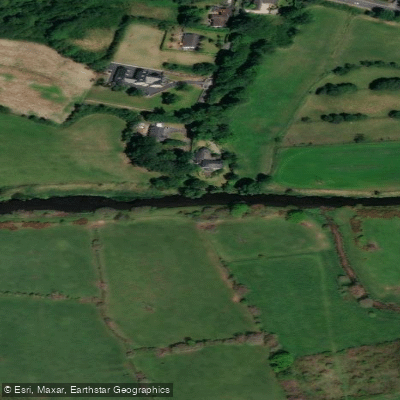
Upper Bann
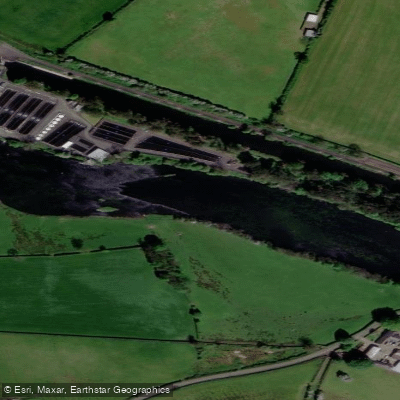
Lower Bann
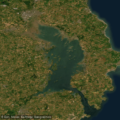
Strangford Lough
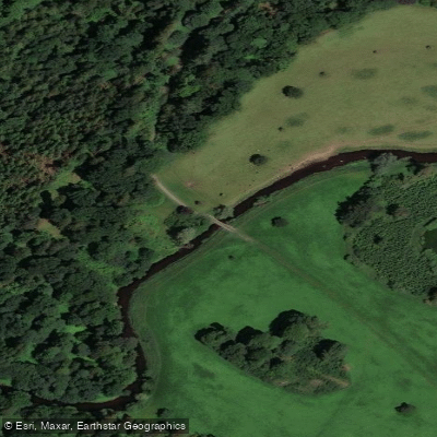
Blackwater
Ballynahinch River
North Channel
Explore Northern Ireland waters
Top paddling waters
No waters available right now.
Popular Cities
Loading popular cities...
Explore near Forth River
Nearby waters
More in Northern Ireland

Smarter Paddling Starts in the App.
Paddleways gives you everything you need to plan smarter, paddle better, and own every trip from first launch to takeout.