Owenkillew
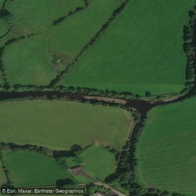
Owenkillew
- Boat Ramps
- 0
- Access Points
- 0
- Campsites
- 0
The Owenkillew is a fast-flowing spate river in County Tyrone, Northern Ireland, rising in Davagh Forest and flowing approximately 40 kilometres westward toward Newtownstewart. The river is used for white water paddling and is located near Omagh and the village of Gortin. As a spate river, water levels are closely tied to rainfall, and the river is capable of flooding significantly during periods of heavy precipitation, which can make conditions both challenging and potentially dangerous.
Paddlers should be aware of tree blockages, which have been reported as causing significant obstruction on either side of the bank. These should be treated as serious hazards, particularly given the speed of the current. The river's character changes along its length: the upper section is a fast, ultra-oligotrophic upland stream, while the mid-reaches widen and diversify, with trees frequently lining the banks. The lower stretches support stands of remnant woodland.
The Owenkillew is a designated Special Area of Conservation, most notably supporting the largest known population of freshwater pearl mussels in Northern Ireland. Otters, dippers, and kingfishers are present along the river's length, and both Atlantic salmon and brown trout use the river. The presence of these protected species, particularly the freshwater pearl mussel, means paddlers should be mindful of their impact on the riverbed and water quality.
The river has been paddled during winter months, including January, suggesting it holds adequate water levels in the colder, wetter season. The scenery along the route has been described positively by paddlers, with the wooded mid and lower reaches providing visual interest. Gortin village is in the vicinity and offers local amenities.
Water access, boat ramps & amenities
Learn how to get on Owenkillew. Uncover great paddling access points, boat ramps, and all the facilities you need for an unforgettable day on the water. Some locations shown may border or include private property. Always check property boundaries and applicable regulations before visiting. PaddleWays's Public & Private Land layer can help you plan your access with confidence.
Paddle smarter with real-time insights
Whether you're en route and conditions shift or you're looking for the best spot based on current flows, we enable you to make informed decisions on the fly.







Northern Ireland licenses and regulations

Find Places to Paddle

Over 400,000 Places to Paddle
Every user gets free access to launch points, boat ramps, and public property parcels.


Water and weather conditions (10 day forecast)
See the best times to paddle Owenkillew and check the forecast before you go.
Owenkillew At Crosh
Paddling near Owenkillew
Foyle
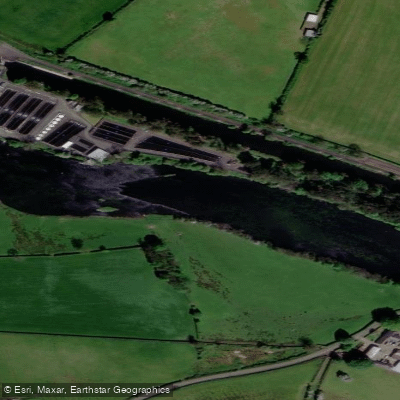
Lower Bann
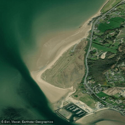
Lisfannon Beach
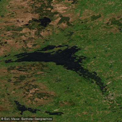
Lower Lough Erne (Whole)
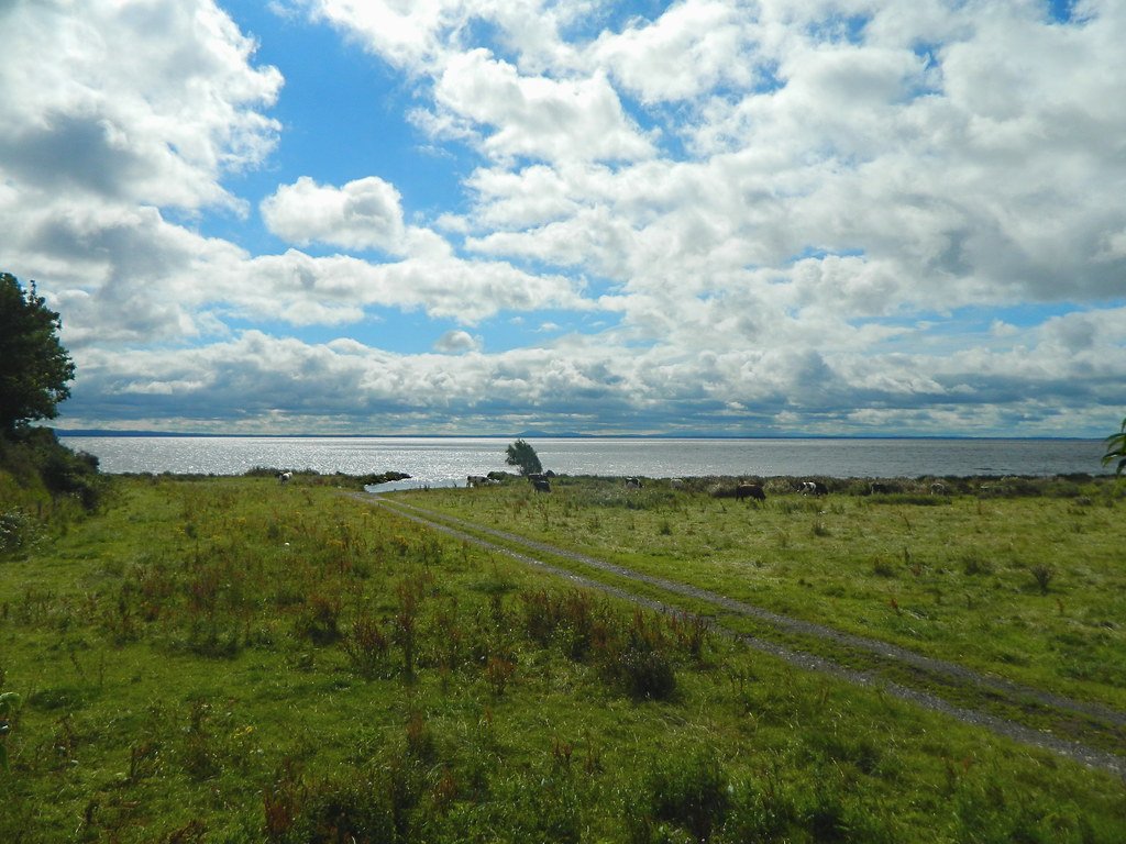
Lough Neagh
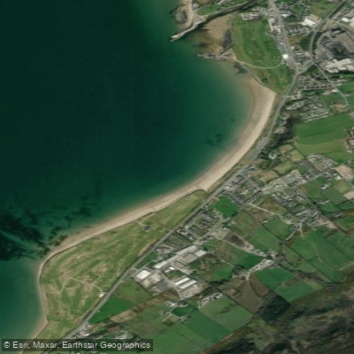
Buncrana Beach
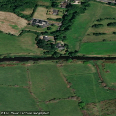
Upper Bann
Erne
Back Bay
Explore Northern Ireland waters
Top paddling waters
No waters available right now.
Popular Cities
Loading popular cities...
Explore near Owenkillew
Nearby waters
More in Northern Ireland

Smarter Paddling Starts in the App.
Paddleways gives you everything you need to plan smarter, paddle better, and own every trip from first launch to takeout.