Lower Lough Erne (Whole)
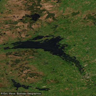
Lower Lough Erne (Whole)
- Boat Ramps
- 0
- Access Points
- 4
- Campsites
- 3
Lower Lough Erne is a large, expansive lake in County Fermanagh, Northern Ireland, stretching approximately 40 kilometres from Enniskillen northward to Belleek and reaching up to 12 kilometres wide at its broadest point. Known locally as the "broad lough," it has the character of an inland sea, and paddlers should treat it with corresponding respect. The open water, rocky outcrops, and numerous islands demand careful route planning, particularly with regard to wind direction, which is a far more significant factor than any current — the flow of the Erne system from south to north is negligible on the lough sections.
The northern portion of Lower Lough Erne, above Rossigh Access Point, is considered suitable for experienced paddlers only, as it can become very rough in strong winds. The southern reaches near Enniskillen, where the river widens into the lough, offer more sheltered conditions. Access to the water is free and no licence is required for paddling.
Notable landmarks include Devenish Island, where an 81-foot 12th-century round tower serves as a useful navigation aid and marks the site of a monastic settlement founded by Saint Molaise in the 6th century. White Island is another point of interest, known for its ancient stone carvings including a carved Celtic stone with bulbous eyes and crossed arms. In the northwest corner of the lough sits Castle Caldwell, a ruined castle within an estate worth exploring. The small islands of Gravel Ridge Island and Stallion Cowes host the United Kingdom's only inland colony of Sandwich terns. Continuing west, paddlers can reach the village of Belleek, home to the world-famous Belleek Pottery.
The lough contains a maze of islands, bays, and sheltered channels, and route selection should be made according to prevailing wind direction. Wild camping is permitted on some islands, making multi-day trips feasible. Facilities at Castle Archdale Country Park include a slipway, picnic areas, a café, and parking. The lough is stocked with pike and perch for those interested in kayak fishing, though an angling licence is required. May through September generally offers the most suitable paddling conditions, with June and July providing the longest daylight hours.
Water access, boat ramps & amenities
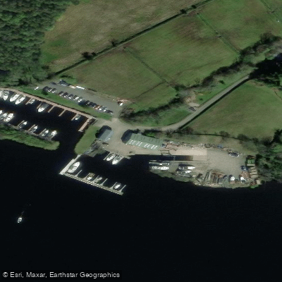
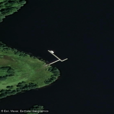
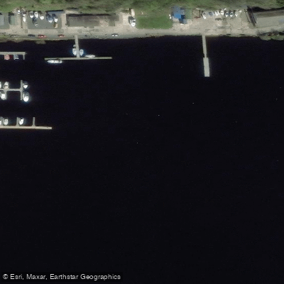
Learn how to get on Lower Lough Erne (Whole). Uncover great paddling access points, boat ramps, and all the facilities you need for an unforgettable day on the water. Some locations shown may border or include private property. Always check property boundaries and applicable regulations before visiting. PaddleWays's Public & Private Land layer can help you plan your access with confidence.
Paddle smarter with real-time insights
Whether you're en route and conditions shift or you're looking for the best spot based on current flows, we enable you to make informed decisions on the fly.







Northern Ireland licenses and regulations

Find Places to Paddle

Over 400,000 Places to Paddle
Every user gets free access to launch points, boat ramps, and public property parcels.


Water and weather conditions (10 day forecast)
See the best times to paddle Lower Lough Erne (Whole) and check the forecast before you go.
No forecast data available.
Paddling near Lower Lough Erne (Whole)
Foyle
Lower Bann
Lisfannon Beach
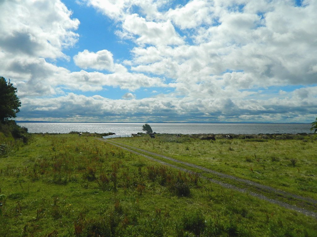
Lough Neagh
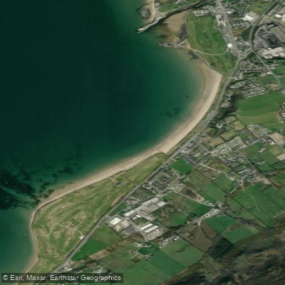
Buncrana Beach
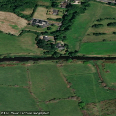
Upper Bann
Erne
Back Bay
Owenkillew
Explore Northern Ireland waters
Top paddling waters
No waters available right now.
Popular Cities
Loading popular cities...
Explore near Lower Lough Erne (Whole)
Access points
Nearby waters
More in Northern Ireland

Smarter Paddling Starts in the App.
Paddleways gives you everything you need to plan smarter, paddle better, and own every trip from first launch to takeout.