Tummel (Lower)
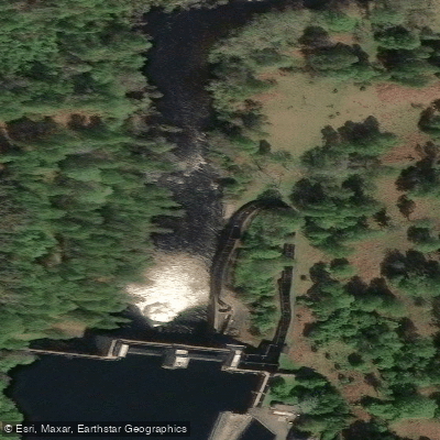
Tummel (Lower)
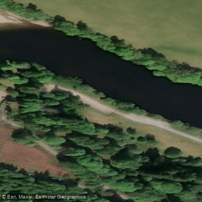
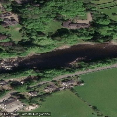
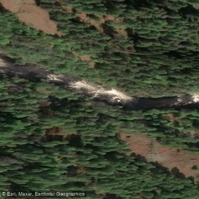
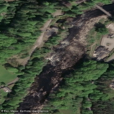
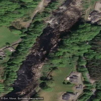
The Lower Tummel access point sits on the final stretch of the River Tummel between Pitlochry and Ballinluig, where the river meets the Tay. This section is well known among paddlers and anglers alike.
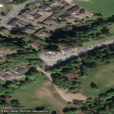
For canoeists, access is gained by turning off the A9 toward Foss and following the minor road to put in below the dam, with limited parking available at a small lay-by.
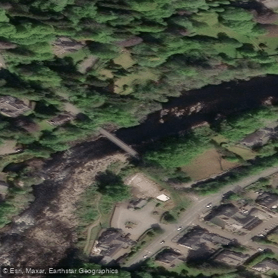
A gauge rapid near the road helps paddlers assess water levels before committing to the run.
The lower Tummel is also prized for salmon fishing, particularly in spring when cooler temperatures keep fish from ascending easily through the Pitlochry Dam fish pass.
The stretch between Pitlochry and Ballinluig is the most frequently fished section of the river and forms the core of the Pitlochry Angling Association's water.
Nearby points of interest
Find excellent paddling spots, easy access to boat ramps, and all the amenities you need for a memorable day. Your adventure starts here.
Water and weather conditions (10 day forecast)
Check the forecast at Tummel (Lower) before you go paddling.
No forecast data available.
Paddling near Tummel (Lower)
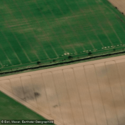
River Eden
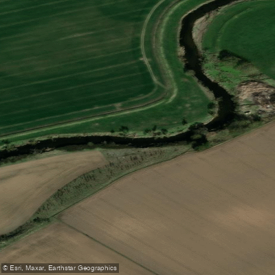
River Isla
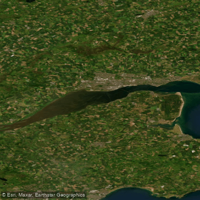
Firth of Tay
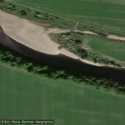
River Tay
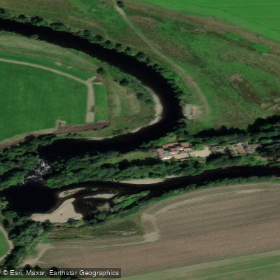
River Earn
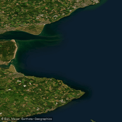
Carnoustie to Fife Ness
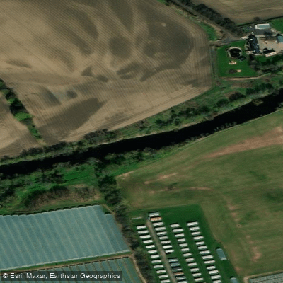
River Ericht
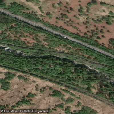
River Garry
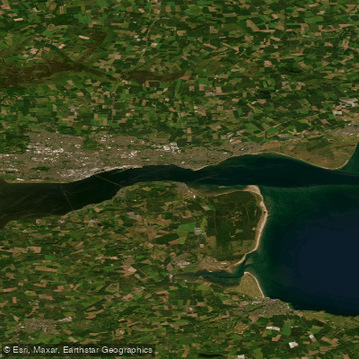
Lower Tay Estuary
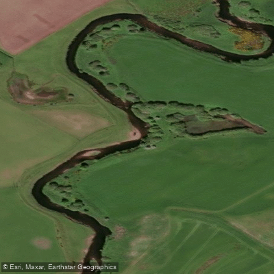
Allan Water
Scotland licenses and regulations
Explore Scotland waters
Top paddling waters
No waters available right now.
Popular Cities
Loading popular cities...
Explore near Tummel (Lower)
Nearby spots
Nearby waters
More in Scotland

Smarter Paddling Starts in the App.
Paddleways gives you everything you need to plan smarter, paddle better, and own every trip from first launch to takeout.