Loch Garry
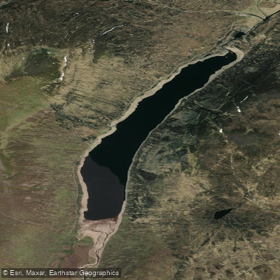
Loch Garry
- Boat Ramps
- 0
- Access Points
- 0
- Campsites
- 0
Loch Garry lies in Glen Garry in the Scottish Highlands, situated just a few hundred yards from the A87, the main road to Skye. To reach it, paddlers turn off onto the Kinloch Hourn road and can launch from among the silver birch trees at one of the small roadside lay-bys. The loch is also accessible from the far end, either before the Kinloch Hourn road meets the A87 or close to the dam, making it possible to use both ends as put-in or take-out points.
The loch is designated as a Site of Special Scientific Interest (SSSI), and paddlers should be aware that three bays in the Inchlaggan area are out of bounds to boats from April 15 to July 31 due to bird nesting season. This restriction applies to all watercraft and is worth factoring into trip planning for spring and early summer visits.
A natural approach to Loch Garry is via the Upper Garry river, which flows into the loch's upper end. This river section features shallow rapids and drops requiring lining in places, followed by a couple of grade II rapids before reaching the loch itself. Alternatively, paddlers can launch below the dam just downstream of Kingie Pool and run the Garry to Loch Garry, a stretch containing class II to III rapids, only some of which can be portaged. The loch itself offers straightforward open-water paddling and can comfortably be explored in a half day.
The surrounding landscape is dominated by munros — Scottish hills exceeding 3,000 feet — and the area supports a notable range of wildlife. Red deer, golden eagles, ravens, white-tailed sea eagles, otters, and the rare Scottish wildcat have all been recorded in the glen. The loch itself is calm enough that wildlife encounters on the water are common; otters in particular have been observed mid-loch.
At the loch's lower end there is a dam, and paddlers completing a through-trip will need to portage at this point. There are no dedicated paddling facilities at the loch, though a camping area near the boats at the fishing operation is available to those hiring boats. The broader Glen Garry corridor connects to a network of lochs and rivers used for multi-day expeditions, including routes linking to Loch Oich and the Caledonian Canal.
Water access, boat ramps & amenities
Learn how to get on Loch Garry. Uncover great paddling access points, boat ramps, and all the facilities you need for an unforgettable day on the water. Some locations shown may border or include private property. Always check property boundaries and applicable regulations before visiting. PaddleWays's Public & Private Land layer can help you plan your access with confidence.
Paddle smarter with real-time insights
Whether you're en route and conditions shift or you're looking for the best spot based on current flows, we enable you to make informed decisions on the fly.







Scotland licenses and regulations

Find Places to Paddle

Over 400,000 Places to Paddle
Every user gets free access to launch points, boat ramps, and public property parcels.


Water and weather conditions (10 day forecast)
See the best times to paddle Loch Garry and check the forecast before you go.
No forecast data available.
Paddling near Loch Garry
River Eden
River Isla
Firth of Tay
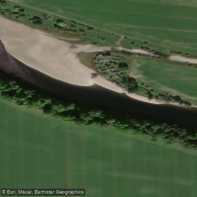
River Tay
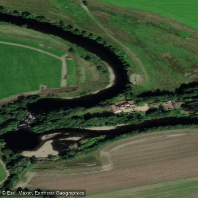
River Earn
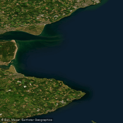
Carnoustie to Fife Ness
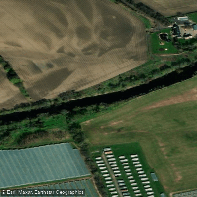
River Ericht
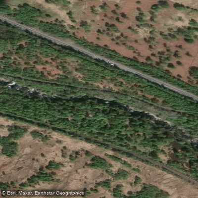
River Garry
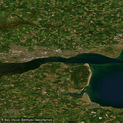
Lower Tay Estuary
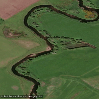
Allan Water
Explore Scotland waters
Top paddling waters
No waters available right now.
Popular Cities
Loading popular cities...
Explore near Loch Garry

Smarter Paddling Starts in the App.
Paddleways gives you everything you need to plan smarter, paddle better, and own every trip from first launch to takeout.