Lough Kinale
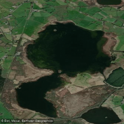
Lough Kinale
- Boat Ramps
- 0
- Access Points
- 0
- Campsites
- 0
Lough Kinale (Irish: Loch Cinnéile) is a freshwater lake in the north midlands of Ireland, situated on the borders of counties Longford, Westmeath, and Cavan. The lake measures approximately 2.4 km in length and 1.1 km in width, with a surface area of 1.95 km², and sits at an elevation of 62 m. It is a very shallow water body, with a maximum depth of around 4 m (13 ft).
The lake forms part of the River Inny system, receiving its inflow from Lough Sheelin and draining outward toward Lough Derravaragh. A smaller adjacent lake, Lough Derragh, is also connected to Lough Kinale via the Inny. The lake is divided into two distinct sections, almost separated by a central swampy area, which gives it a somewhat irregular character. The margins are lined with reed beds interspersed with calcium-rich marsh dominated by small sedges, creating a naturalistic shoreline environment.
The lake carries notable archaeological significance. A 9th-century book shrine — the largest and earliest of Ireland's medieval book shrines — was recovered by divers in 1986 from the lake's waters, near the site of a crannóg (an ancient island settlement). This history adds a layer of cultural interest for paddlers exploring the lake's edges.
The lake lies approximately 10 km east of Granard and is roughly equidistant from Cavan town, Longford town, and Mullingar, each around 25 km distant. Given its shallow depth and modest size, it is a manageable body of water, though the swampy central area and extensive reed beds along the margins are features paddlers should be aware of when planning routes or landings.
Water access, boat ramps & amenities
Learn how to get on Lough Kinale. Uncover great paddling access points, boat ramps, and all the facilities you need for an unforgettable day on the water. Some locations shown may border or include private property. Always check property boundaries and applicable regulations before visiting. PaddleWays's Public & Private Land layer can help you plan your access with confidence.
Paddle smarter with real-time insights
Whether you're en route and conditions shift or you're looking for the best spot based on current flows, we enable you to make informed decisions on the fly.







Co. Cavan licenses and regulations
No licenses or regulations available for Co. Cavan.
Find Places to Paddle

Over 400,000 Places to Paddle
Every user gets free access to launch points, boat ramps, and public property parcels.


Water and weather conditions (10 day forecast)
See the best times to paddle Lough Kinale and check the forecast before you go.
No forecast data available.
Paddling near Lough Kinale

Inny [Shannon]
Boyne
Boyne Estuary
Lough Ree

Shannon [Upper]
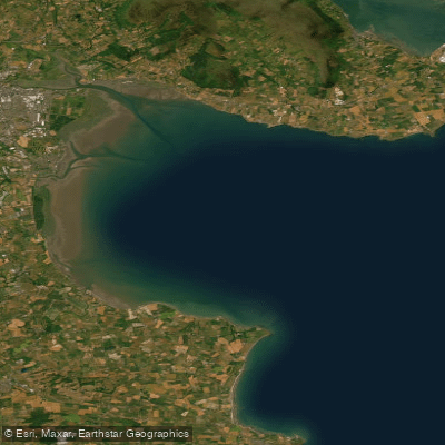
Outer Dundalk Bay
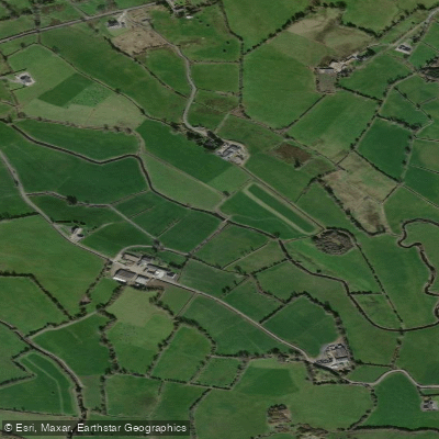
Erne
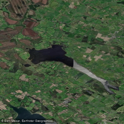
Lough Derravaragh
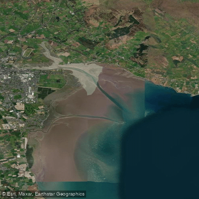
Inner Dundalk Bay

Barrow
Explore Cavan waters
Top paddling waters
No waters available right now.
Popular Cities
Loading popular cities...
Explore near Lough Kinale

Smarter Paddling Starts in the App.
Paddleways gives you everything you need to plan smarter, paddle better, and own every trip from first launch to takeout.